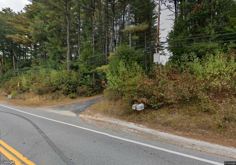
261 Stark Hwy N Dunbarton, NH 03046
Estimated Value: $557,000 - $714,000
4
Beds
2
Baths
2,650
Sq Ft
$250/Sq Ft
Est. Value
About This Home
This home is located at 261 Stark Hwy N, Dunbarton, NH 03046 and is currently estimated at $662,754, approximately $250 per square foot. 261 Stark Hwy N is a home with nearby schools including Dunbarton Elementary School, Bow Memorial School, and Bow High School.
Create a Home Valuation Report for This Property
The Home Valuation Report is an in-depth analysis detailing your home's value as well as a comparison with similar homes in the area
Home Values in the Area
Average Home Value in this Area
Tax History Compared to Growth
Tax History
| Year | Tax Paid | Tax Assessment Tax Assessment Total Assessment is a certain percentage of the fair market value that is determined by local assessors to be the total taxable value of land and additions on the property. | Land | Improvement |
|---|---|---|---|---|
| 2024 | $9,453 | $358,349 | $76,649 | $281,700 |
| 2023 | $9,163 | $358,349 | $76,649 | $281,700 |
| 2022 | $7,744 | $336,997 | $76,697 | $260,300 |
Source: Public Records
Map
Nearby Homes
- I3-03-05 Clinton St
- 250 Grapevine Rd
- 40 N Woods Rd
- 490 Page Rd
- 167 Branch Londonderry Turnpike
- 8 Longview Dr
- 256-0-17 Jewett Rd
- 5 Longview Dr
- 0 Farrington Corner Rd Unit 14
- 70 Gile Hill Rd
- 27 Brushwood Dr
- 57 Lyndsey Ln
- 1003 School St
- 15 Robert Rogers Rd
- 0 Brown Hill Rd Unit 5032600
- 0 Als Dr Unit 196
- 43 Sterling Place
- 1 Hop Kiln Rd
- 541 South Rd
- 464 Irish Hill Rd
- 294 Stark Hwy N
- 300 Stark Hwy N
- 301 Stark Hwy N
- 293 Stark Hwy N
- 310 Stark Hwy N
- 291 Stark Hwy N
- 291A Stark Hwy N
- 311 Stark Hwy N
- 282 Stark Hwy N
- 285 Stark Hwy N
- 315 Stark Hwy N
- 281 Stark Hwy N
- 324 Stark Highway Hwy N
- 312 Stark Hwy N
- 275 Stark Hwy N
- 273 Stark Hwy N
- 326 Stark Hwy N
- 328 Stark Hwy N
- 330 Stark Hwy N
- 332 Stark Hwy N