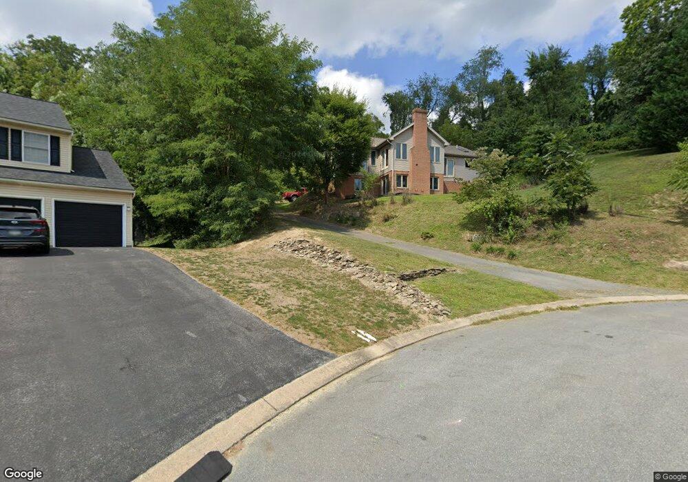
2610 De Witt Dr Lancaster, PA 17601
Oyster Point NeighborhoodEstimated Value: $453,420 - $562,000
2
Beds
4
Baths
1,947
Sq Ft
$266/Sq Ft
Est. Value
About This Home
This home is located at 2610 De Witt Dr, Lancaster, PA 17601 and is currently estimated at $518,355, approximately $266 per square foot. 2610 De Witt Dr is a home located in Lancaster County with nearby schools including Rohrerstown Elementary School, Centerville Middle School, and Hempfield Senior High School.
Ownership History
Date
Name
Owned For
Owner Type
Purchase Details
Closed on
Aug 18, 2009
Sold by
Geiter Terry L and Rineer Jane E
Bought by
Geiter Terry L and Geiter Jane E
Current Estimated Value
Home Financials for this Owner
Home Financials are based on the most recent Mortgage that was taken out on this home.
Original Mortgage
$336,487
Interest Rate
4.92%
Mortgage Type
FHA
Create a Home Valuation Report for This Property
The Home Valuation Report is an in-depth analysis detailing your home's value as well as a comparison with similar homes in the area
Home Values in the Area
Average Home Value in this Area
Purchase History
| Date | Buyer | Sale Price | Title Company |
|---|---|---|---|
| Geiter Terry L | -- | None Available |
Source: Public Records
Mortgage History
| Date | Status | Borrower | Loan Amount |
|---|---|---|---|
| Closed | Geiter Terry L | $336,487 |
Source: Public Records
Tax History Compared to Growth
Tax History
| Year | Tax Paid | Tax Assessment Tax Assessment Total Assessment is a certain percentage of the fair market value that is determined by local assessors to be the total taxable value of land and additions on the property. | Land | Improvement |
|---|---|---|---|---|
| 2025 | $5,861 | $271,200 | $60,100 | $211,100 |
| 2024 | $5,861 | $271,200 | $60,100 | $211,100 |
| 2023 | $5,744 | $271,200 | $60,100 | $211,100 |
| 2022 | $5,585 | $271,200 | $60,100 | $211,100 |
| 2021 | $5,497 | $271,200 | $60,100 | $211,100 |
| 2020 | $5,497 | $271,200 | $60,100 | $211,100 |
| 2019 | $6,017 | $302,000 | $60,100 | $241,900 |
| 2018 | $1,184 | $302,000 | $60,100 | $241,900 |
| 2017 | $4,834 | $192,000 | $53,400 | $138,600 |
| 2016 | $4,834 | $192,000 | $53,400 | $138,600 |
| 2015 | $971 | $192,000 | $53,400 | $138,600 |
| 2014 | $3,612 | $192,000 | $53,400 | $138,600 |
Source: Public Records
Map
Nearby Homes
- 880 Corvair Rd
- 916 Dorsea Rd
- 2778 Spring Valley Rd
- 695 Imperial Dr
- 2940 Marietta Ave
- 3 Spring Walk Ct
- 2504 Brookside Dr
- 910 Pennwood Cir
- 9 Spring Walk Ct
- 660 Lawrence Blvd Unit DEVONSHIRE
- 660 Lawrence Blvd Unit MAGNOLIA
- 660 Lawrence Blvd Unit ADDISON
- 660 Lawrence Blvd Unit LACHLAN
- 660 Lawrence Blvd Unit COVINGTON
- 660 Lawrence Blvd Unit ARCADIA
- 660 Lawrence Blvd Unit PARKER
- 189 Ridings Way
- 151 Pinnacle Point Dr
- Kipling Plan at Enclave at Independence Ridge
- Woodford Plan at Enclave at Independence Ridge
- 2609 De Witt Dr
- 2602 De Witt Dr
- 2731 Marietta Ave
- 2605 De Witt Dr
- 2601 De Witt Dr
- 2735 Marietta Ave
- 809 Hillaire Rd
- 807 Hillaire Rd
- 1040 Woodridge Blvd
- 2739 Marietta Ave
- 805 Hillaire Rd
- 811 Hillaire Rd
- 735 Dorsea Rd
- 739 Dorsea Rd
- 729 Dorsea Rd
- 721 Dorsea Rd
- 2650 Beech Ln
- 741 Dorsea Rd
- 725 Dorsea Rd
- 1037 Woodridge Blvd