2610 Us Highway 199 Crescent City, CA 95531
Estimated Value: $347,752 - $410,000
2
Beds
1
Bath
738
Sq Ft
$513/Sq Ft
Est. Value
About This Home
This home is located at 2610 Us Highway 199, Crescent City, CA 95531 and is currently estimated at $378,688, approximately $513 per square foot. 2610 Us Highway 199 is a home located in Del Norte County with nearby schools including Smith River Elementary School, Crescent Elk Middle School, and Del Norte High School.
Ownership History
Date
Name
Owned For
Owner Type
Purchase Details
Closed on
Apr 4, 2024
Sold by
Prince Leonette
Bought by
Holm Ann K and Myers Alice E
Current Estimated Value
Home Financials for this Owner
Home Financials are based on the most recent Mortgage that was taken out on this home.
Original Mortgage
$203,500
Outstanding Balance
$200,471
Interest Rate
6.9%
Mortgage Type
FHA
Estimated Equity
$178,217
Purchase Details
Closed on
Nov 5, 2004
Sold by
Thomas Adeline and Sesher Letty
Bought by
Prince Leonette
Home Financials for this Owner
Home Financials are based on the most recent Mortgage that was taken out on this home.
Original Mortgage
$45,000
Interest Rate
5.65%
Mortgage Type
Purchase Money Mortgage
Create a Home Valuation Report for This Property
The Home Valuation Report is an in-depth analysis detailing your home's value as well as a comparison with similar homes in the area
Home Values in the Area
Average Home Value in this Area
Purchase History
| Date | Buyer | Sale Price | Title Company |
|---|---|---|---|
| Holm Ann K | $350,000 | First American Title | |
| Prince Leonette | $45,000 | First American Title Company |
Source: Public Records
Mortgage History
| Date | Status | Borrower | Loan Amount |
|---|---|---|---|
| Open | Holm Ann K | $203,500 | |
| Previous Owner | Prince Leonette | $45,000 |
Source: Public Records
Tax History Compared to Growth
Tax History
| Year | Tax Paid | Tax Assessment Tax Assessment Total Assessment is a certain percentage of the fair market value that is determined by local assessors to be the total taxable value of land and additions on the property. | Land | Improvement |
|---|---|---|---|---|
| 2025 | $670 | $357,000 | $102,000 | $255,000 |
| 2024 | $670 | $61,477 | $47,821 | $13,656 |
| 2023 | $656 | $60,273 | $46,884 | $13,389 |
| 2022 | $643 | $59,092 | $45,965 | $13,127 |
| 2021 | $639 | $57,934 | $45,064 | $12,870 |
| 2020 | $635 | $57,341 | $44,602 | $12,739 |
| 2019 | $625 | $56,218 | $43,728 | $12,490 |
| 2018 | $612 | $55,117 | $42,871 | $12,246 |
| 2017 | $630 | $54,037 | $42,031 | $12,006 |
| 2016 | $619 | $52,978 | $41,207 | $11,771 |
| 2015 | $579 | $52,184 | $40,589 | $11,595 |
| 2014 | $600 | $51,162 | $39,794 | $11,368 |
Source: Public Records
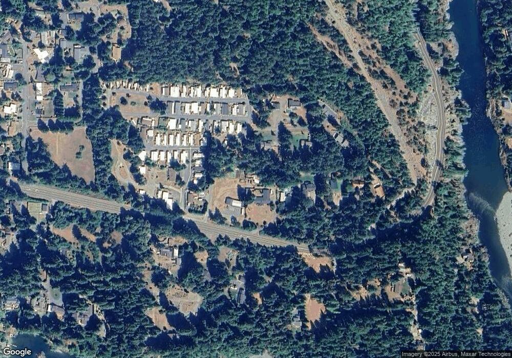
Map
Nearby Homes
- 2510 Us Hwy 199 #11
- 2510 Us Hwy 199 #53
- 2510 Hwy 199 #35
- 370 Douglas Park Rd
- 190 Hawkins Flat Rd
- 190 Storm Way
- 201 Rain Tree Rd Unit 101 Rain Tree Road
- 003 Sage
- 000 Ashford Rd
- 002 Sage
- 5900 N Bank Rd
- 001 Sage
- 00 Allens Gulch
- 240 Club Dr
- 129 Club Dr
- Lot 47 Speer
- Lot 46 Speer
- Lot 45 Speer
- Lot 44 Speer
- Lot 43 Speer
- 2610 Us Hwy 199
- 2590 U S 199
- 2600 Us Highway 199
- 125 Sunkist Ln Unit Hwy 199
- 125 Sunkist Ln
- 2510 Highway 199 #60 Unit 60
- 2630 Us Highway 199
- 135 Sunkist Ln
- 2640 Us Highway 199
- 2510 U S 199 Unit 53
- 2540 U S 199
- 2510 Us Highway 199 Unit 53
- 2510 Us Highway 199 Unit 11
- 2510 Us Highway 199 Unit 16
- 2510 Us Highway 199 Unit Space 10 C
- 2510 Us Highway 199 Unit 48
- 2510 Us Highway 199 Unit 23
- 2510 Us Highway 199 Unit 17
- 2510 Us Highway 199 Unit 25
- 2510 Us Highway 199 Unit 35