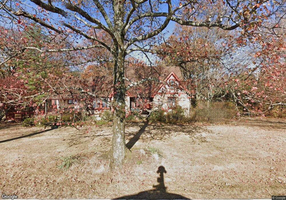
2611 E Brow Rd Signal Mountain, TN 37377
Walden NeighborhoodEstimated Value: $682,000 - $1,106,000
--
Bed
1
Bath
2,825
Sq Ft
$310/Sq Ft
Est. Value
About This Home
This home is located at 2611 E Brow Rd, Signal Mountain, TN 37377 and is currently estimated at $876,658, approximately $310 per square foot. 2611 E Brow Rd is a home located in Hamilton County with nearby schools including Nolan Elementary School, Signal Mountain Middle/High School, and Signal Mountain Christian School.
Ownership History
Date
Name
Owned For
Owner Type
Purchase Details
Closed on
Jul 15, 1999
Sold by
Stone Karen Paul
Bought by
Stone Charles B
Current Estimated Value
Home Financials for this Owner
Home Financials are based on the most recent Mortgage that was taken out on this home.
Original Mortgage
$73,000
Interest Rate
7.51%
Create a Home Valuation Report for This Property
The Home Valuation Report is an in-depth analysis detailing your home's value as well as a comparison with similar homes in the area
Home Values in the Area
Average Home Value in this Area
Purchase History
| Date | Buyer | Sale Price | Title Company |
|---|---|---|---|
| Stone Charles B | -- | -- |
Source: Public Records
Mortgage History
| Date | Status | Borrower | Loan Amount |
|---|---|---|---|
| Closed | Stone Charles B | $73,000 |
Source: Public Records
Tax History Compared to Growth
Tax History
| Year | Tax Paid | Tax Assessment Tax Assessment Total Assessment is a certain percentage of the fair market value that is determined by local assessors to be the total taxable value of land and additions on the property. | Land | Improvement |
|---|---|---|---|---|
| 2024 | $3,218 | $143,850 | $0 | $0 |
| 2023 | $3,983 | $143,850 | $0 | $0 |
| 2022 | $3,983 | $143,850 | $0 | $0 |
| 2021 | $3,983 | $143,850 | $0 | $0 |
| 2020 | $4,228 | $125,450 | $0 | $0 |
| 2019 | $4,103 | $125,450 | $0 | $0 |
| 2018 | $3,977 | $125,450 | $0 | $0 |
| 2017 | $3,952 | $125,450 | $0 | $0 |
| 2016 | $3,669 | $0 | $0 | $0 |
| 2015 | $3,669 | $114,875 | $0 | $0 |
| 2014 | $3,669 | $0 | $0 | $0 |
Source: Public Records
Map
Nearby Homes
- 3002 Wilson Ave
- 3680 Wilson Ave
- 3612 Taft Hwy
- 2804 Taft Hwy
- 1702 James Blvd
- 848 Skyline Park Dr
- 0 Skyline Park Dr Unit 1525124
- 837 Skyline Park Dr
- 914 Olsen Ave
- 5517 Abby Grace Loop
- 4975 Browntown Rd
- 714 Berry Spring Path
- 10 Majestic Oaks Dr
- 11 Saint Nicholas Way
- 10 Acres Majestic Oaks Dr
- 0 Majestic Oaks Dr Unit 24033570
- 5423 Mccahill Rd
- 25 Ridgerock Dr
- 1713 Timesville Rd
- 810 Younger Cir
- 2609 E Brow Rd
- 2709 E Brow Rd
- 2509 E Brow Rd
- 2602 Altura Dr
- 2717 E Brow Rd
- 201 Clegg St
- 2649 Altura Dr
- 2507 E Brow Rd
- 2507 E Brow Rd Unit 3,4
- 2510 Altura Dr
- 2605 Altura Dr
- 112 Sylvan City Dr
- 2725 E Brow Rd
- 203 Clegg St
- 1 Bluffview Dr
- 207 Clegg St
- 2525 Altura Dr
- 114 Sylvan City Dr
- 501 Bluffview Dr
- 2903 E Brow Rd