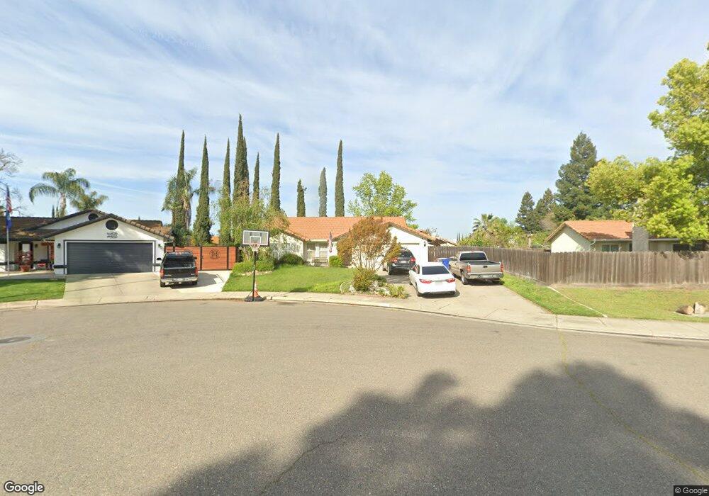
2611 Silver Creek Ct Merced, CA 95348
Estimated Value: $333,000 - $360,788
3
Beds
2
Baths
1,281
Sq Ft
$271/Sq Ft
Est. Value
About This Home
This home is located at 2611 Silver Creek Ct, Merced, CA 95348 and is currently estimated at $346,697, approximately $270 per square foot. 2611 Silver Creek Ct is a home located in Merced County with nearby schools including Luther Burbank Elementary School, Tenaya Middle School, and Merced High School.
Ownership History
Date
Name
Owned For
Owner Type
Purchase Details
Closed on
Jan 29, 2016
Sold by
Hanley Tamera D
Bought by
Thomas Gregory R
Current Estimated Value
Home Financials for this Owner
Home Financials are based on the most recent Mortgage that was taken out on this home.
Original Mortgage
$159,065
Outstanding Balance
$126,927
Interest Rate
3.98%
Mortgage Type
FHA
Estimated Equity
$219,770
Purchase Details
Closed on
May 8, 2002
Sold by
Gale Leta P
Bought by
Hall Patricia J
Home Financials for this Owner
Home Financials are based on the most recent Mortgage that was taken out on this home.
Original Mortgage
$125,000
Interest Rate
6.89%
Mortgage Type
Purchase Money Mortgage
Purchase Details
Closed on
Mar 7, 2000
Sold by
Pauline Gale and Pauline Leta
Bought by
Gale Earl and Gale Leta P
Create a Home Valuation Report for This Property
The Home Valuation Report is an in-depth analysis detailing your home's value as well as a comparison with similar homes in the area
Home Values in the Area
Average Home Value in this Area
Purchase History
| Date | Buyer | Sale Price | Title Company |
|---|---|---|---|
| Thomas Gregory R | $162,000 | Fidelity National Title Co | |
| Thomas Gregory R | -- | Fidelity National Title Co | |
| Hall Patricia J | $165,000 | Fidelity National Title Co | |
| Gale Earl | -- | -- |
Source: Public Records
Mortgage History
| Date | Status | Borrower | Loan Amount |
|---|---|---|---|
| Open | Thomas Gregory R | $159,065 | |
| Previous Owner | Hall Patricia J | $125,000 |
Source: Public Records
Tax History Compared to Growth
Tax History
| Year | Tax Paid | Tax Assessment Tax Assessment Total Assessment is a certain percentage of the fair market value that is determined by local assessors to be the total taxable value of land and additions on the property. | Land | Improvement |
|---|---|---|---|---|
| 2025 | $2,100 | $191,769 | $53,268 | $138,501 |
| 2024 | $2,100 | $188,010 | $52,224 | $135,786 |
| 2023 | $2,072 | $184,324 | $51,200 | $133,124 |
| 2022 | $2,114 | $180,711 | $50,197 | $130,514 |
| 2021 | $2,100 | $177,168 | $49,213 | $127,955 |
| 2020 | $2,045 | $175,352 | $48,709 | $126,643 |
| 2019 | $2,020 | $171,914 | $47,754 | $124,160 |
| 2018 | $1,844 | $168,544 | $46,818 | $121,726 |
| 2017 | $1,902 | $165,240 | $45,900 | $119,340 |
| 2016 | $1,850 | $160,000 | $45,000 | $115,000 |
| 2015 | $1,697 | $154,000 | $45,000 | $109,000 |
| 2014 | $1,679 | $153,000 | $30,000 | $123,000 |
Source: Public Records
Map
Nearby Homes
- 2500 N State Highway 59 Unit 36
- 2500 N State Highway 59
- 2440 Crystal Springs Ave
- 2215 W St
- 1646 W North Bear Creek Dr
- 2652 N State Highway 59
- 2652 N Highway 59
- 1475 Bianchi Ln
- 1482 Autry Way
- 2941 Ritter Ln
- 1320 W 21st St
- 1420 W 25th St
- 2410 S St
- 1127 W 23rd St
- 2331 R St
- 1044 W 20th St
- 1027 W 21st St
- 1028 W 22nd St
- 3160 Austin Ave
- 1045 W Santa fe Ave
- 2599 Silver Creek Ct
- 1872 Creekside Dr
- 2612 Stonybrook Ave
- 1884 Creekside Dr
- 2588 Stonybrook Ave
- 2624 Stonybrook Ave
- 2586 Silver Creek Ct
- 2576 Stonybrook Ave
- 2636 Stonybrook Ave
- 1836 Creekside Dr
- 1857 Springfield Ct
- 1869 Springfield Ct
- 2610 Silver Creek Ct
- 1845 Springfield Ct
- 2598 Silver Creek Ct
- 2564 Stonybrook Ave
- 2600 Stonybrook Ave
- 1824 Creekside Dr
- 1833 Springfield Ct
- 1861 Creekside Dr