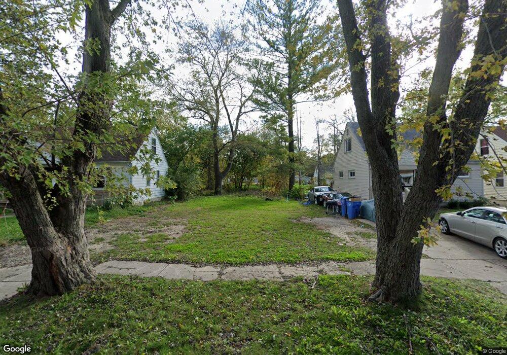
26115 Powers Ave Dearborn Heights, MI 48125
Estimated Value: $61,000 - $193,000
3
Beds
1
Bath
1,167
Sq Ft
$115/Sq Ft
Est. Value
About This Home
This home is located at 26115 Powers Ave, Dearborn Heights, MI 48125 and is currently estimated at $134,000, approximately $114 per square foot. 26115 Powers Ave is a home located in Wayne County with nearby schools including Quest Charter Academy, West Village Academy, and Peterson-Warren Academy.
Ownership History
Date
Name
Owned For
Owner Type
Purchase Details
Closed on
Aug 26, 2015
Sold by
Wayne County Treasurer
Bought by
Treasurer City Of Dearborn Heights
Current Estimated Value
Purchase Details
Closed on
Jul 20, 2009
Sold by
Moredock Kathaleen
Bought by
Carriere David
Purchase Details
Closed on
Feb 20, 2008
Sold by
Davis Ann Louise and Moredock Kathaleen
Bought by
Carriere Rudolph
Purchase Details
Closed on
Feb 13, 2008
Sold by
Davis Ann Louise and Moredock Kathaleen
Bought by
Moredock Kathaleen
Create a Home Valuation Report for This Property
The Home Valuation Report is an in-depth analysis detailing your home's value as well as a comparison with similar homes in the area
Home Values in the Area
Average Home Value in this Area
Purchase History
| Date | Buyer | Sale Price | Title Company |
|---|---|---|---|
| Treasurer City Of Dearborn Heights | $4,778 | None Available | |
| Carriere David | -- | None Available | |
| Moredock Kathaleen | -- | None Available | |
| Carriere Rudolph | -- | None Available | |
| Moredock Kathaleen | -- | None Available |
Source: Public Records
Tax History
| Year | Tax Paid | Tax Assessment Tax Assessment Total Assessment is a certain percentage of the fair market value that is determined by local assessors to be the total taxable value of land and additions on the property. | Land | Improvement |
|---|---|---|---|---|
| 2025 | $6 | $0 | $0 | $0 |
| 2024 | $6 | $0 | $0 | $0 |
| 2023 | $3 | $0 | $0 | $0 |
| 2022 | $5 | $0 | $0 | $0 |
| 2021 | $3 | $0 | $0 | $0 |
| 2019 | $1 | $0 | $0 | $0 |
| 2018 | $3 | $0 | $0 | $0 |
| 2017 | $3 | $0 | $0 | $0 |
| 2016 | $2 | $0 | $0 | $0 |
| 2015 | $2,340 | $23,400 | $0 | $0 |
| 2013 | $2,510 | $26,700 | $0 | $0 |
| 2010 | -- | $27,800 | $0 | $0 |
Source: Public Records
Map
Nearby Homes
- 25965 Currier St
- 25926 Powers Ave
- 26131 Amherst St
- 25873 Pennie St
- 000 Currier St
- 26225 McDonald St
- 26532 Powers Ave
- 5845 Beech Daly Rd
- 4863 Glenis St
- 5842 Janet St
- 26439 Hopkins St
- 26051 Lehigh St
- 5904 Janet St
- 5993 John Daly St
- 26413 Lehigh St
- 5970 John Daly St
- 26735 Annapolis St
- 26159 Stanford St
- 25474 McDonald St
- 6143 Mcguire St
- 26105 Powers Ave
- 26125 Powers Ave
- 26100 Currier St
- 26145 Powers Ave
- 26095 Powers Ave
- 26155 Powers Ave
- VACANT Currier
- 26140 Currier St
- 26165 Powers Ave
- 26116 Powers Ave
- 26126 Powers Ave
- 26106 Powers Ave
- 26150 Currier St
- 26136 Powers Ave Unit Bldg-Unit
- 26136 Powers Ave
- 26055 Powers Ave
- 26146 Powers Ave
- 26096 Currier St
- 26175 Powers Ave
- 26160 Currier St