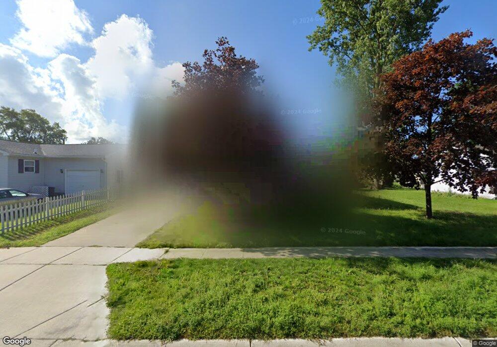
2612 Manuel St Port Huron, MI 48060
Estimated Value: $153,000 - $169,000
3
Beds
1
Bath
1,088
Sq Ft
$148/Sq Ft
Est. Value
About This Home
This home is located at 2612 Manuel St, Port Huron, MI 48060 and is currently estimated at $160,887, approximately $147 per square foot. 2612 Manuel St is a home located in St. Clair County with nearby schools including Cleveland Elementary School, Central Middle School, and Port Huron High School.
Ownership History
Date
Name
Owned For
Owner Type
Purchase Details
Closed on
Sep 18, 2008
Sold by
Blue Water Habitat For Humanities Inc
Bought by
Parker Cheryl and Jeffery Ronald
Current Estimated Value
Home Financials for this Owner
Home Financials are based on the most recent Mortgage that was taken out on this home.
Original Mortgage
$60,000
Outstanding Balance
$30,112
Interest Rate
6.41%
Mortgage Type
Purchase Money Mortgage
Estimated Equity
$130,775
Purchase Details
Closed on
Jun 20, 2008
Sold by
Thompson Diane
Bought by
Blue Water Habitat For Humanity Inc
Create a Home Valuation Report for This Property
The Home Valuation Report is an in-depth analysis detailing your home's value as well as a comparison with similar homes in the area
Home Values in the Area
Average Home Value in this Area
Purchase History
| Date | Buyer | Sale Price | Title Company |
|---|---|---|---|
| Parker Cheryl | $70,000 | Devon Title Agency | |
| Blue Water Habitat For Humanity Inc | -- | None Available |
Source: Public Records
Mortgage History
| Date | Status | Borrower | Loan Amount |
|---|---|---|---|
| Open | Parker Cheryl | $60,000 |
Source: Public Records
Tax History Compared to Growth
Tax History
| Year | Tax Paid | Tax Assessment Tax Assessment Total Assessment is a certain percentage of the fair market value that is determined by local assessors to be the total taxable value of land and additions on the property. | Land | Improvement |
|---|---|---|---|---|
| 2025 | $1,929 | $87,800 | $0 | $0 |
| 2024 | $1,625 | $78,300 | $0 | $0 |
| 2023 | $1,535 | $69,100 | $0 | $0 |
| 2022 | $1,592 | $58,700 | $0 | $0 |
| 2021 | $1,512 | $52,200 | $0 | $0 |
| 2020 | $1,529 | $45,600 | $45,600 | $0 |
| 2019 | $1,502 | $37,400 | $0 | $0 |
| 2018 | $1,468 | $37,400 | $0 | $0 |
| 2017 | $1,312 | $31,400 | $0 | $0 |
| 2016 | $1,118 | $31,400 | $0 | $0 |
| 2015 | $1,101 | $31,100 | $31,100 | $0 |
| 2014 | $1,101 | $30,700 | $30,700 | $0 |
| 2013 | -- | $30,800 | $0 | $0 |
Source: Public Records
Map
Nearby Homes
- 2600 Vanness St
- 2513 Vanness St
- 2511 Vanness St
- 2702 Vanness St
- 2506 Vanness St
- 3230 Ashland Ct
- 9999 Cleveland Ave
- 0 Dove Rd Unit G31368528
- 2627 24th St
- 3830 Military St
- 3548 Cleveland St
- 3136 Military St
- 3104 Sturges St
- 000 Gratiot Blvd
- 00 Gratiot Blvd
- 69 Gratiot Blvd
- 9999 24th St
- 3333 Ravenswood Rd Unit 4A
- 3333 Ravenswood Rd
- Lot 3 24th St
- 2604 Manuel St
- 2609 Vanness St
- 2616 Manuel St
- 2626 Manuel St
- 2613 Vanness St
- 2605 Vanness St
- 2619 Vanness St
- 2520 Manuel St
- 2525 Vanness St
- 2627 Vanness St
- 2623 Vanness St
- 2519 Vanness St
- 2634 Manuel St
- 2514 Manuel St
- 2633 Vanness St
- 2610 Vanness St
- 2515 Vanness St
- 2600 Vanness St
- 2701 Vanness St
- 2604 Vanness St