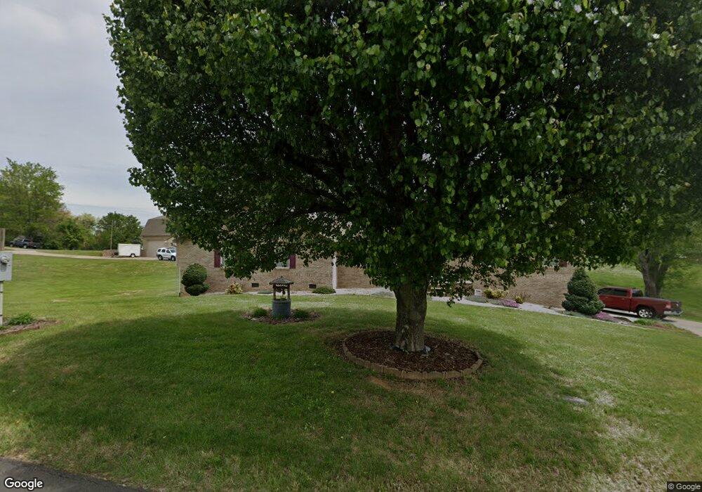
2612 Vista Dr Talbott, TN 37877
Estimated Value: $273,545 - $307,000
Studio
2
Baths
2,106
Sq Ft
$138/Sq Ft
Est. Value
About This Home
This home is located at 2612 Vista Dr, Talbott, TN 37877 and is currently estimated at $291,136, approximately $138 per square foot. 2612 Vista Dr is a home located in Jefferson County.
Ownership History
Date
Name
Owned For
Owner Type
Purchase Details
Closed on
Jul 27, 2021
Sold by
Chivvis George and Chivvis Tracey
Bought by
Wood Dennis V and Wood Stacy M
Current Estimated Value
Purchase Details
Closed on
Feb 19, 1999
Sold by
May James L
Bought by
Dennis Wood
Purchase Details
Closed on
Jun 5, 1997
Sold by
Dorothy Mullins
Bought by
Stacy Wood
Home Financials for this Owner
Home Financials are based on the most recent Mortgage that was taken out on this home.
Original Mortgage
$80,000
Interest Rate
8.01%
Purchase Details
Closed on
May 30, 1997
Bought by
Wood Stacy Mae and Wood Dennis Vincent
Home Financials for this Owner
Home Financials are based on the most recent Mortgage that was taken out on this home.
Original Mortgage
$80,000
Interest Rate
8.01%
Purchase Details
Closed on
Oct 19, 1984
Bought by
Mullins David and Mullins Dorothy
Purchase Details
Closed on
Jan 18, 1984
Create a Home Valuation Report for This Property
The Home Valuation Report is an in-depth analysis detailing your home's value as well as a comparison with similar homes in the area
Purchase History
| Date | Buyer | Sale Price | Title Company |
|---|---|---|---|
| Wood Dennis V | $189,000 | Jefferson Title Inc | |
| Dennis Wood | $18,500 | -- | |
| Stacy Wood | $84,250 | -- | |
| Wood Stacy Mae | $84,300 | -- | |
| Mullins David | -- | -- | |
| -- | -- | -- |
Source: Public Records
Mortgage History
| Date | Status | Borrower | Loan Amount |
|---|---|---|---|
| Previous Owner | Not Available | $80,000 |
Source: Public Records
Tax History
| Year | Tax Paid | Tax Assessment Tax Assessment Total Assessment is a certain percentage of the fair market value that is determined by local assessors to be the total taxable value of land and additions on the property. | Land | Improvement |
|---|---|---|---|---|
| 2025 | $624 | $43,625 | $14,000 | $29,625 |
| 2023 | $599 | $26,025 | $0 | $0 |
| 2022 | $570 | $26,025 | $6,250 | $19,775 |
| 2021 | $570 | $26,025 | $6,250 | $19,775 |
| 2020 | $1,120 | $51,125 | $6,250 | $44,875 |
| 2019 | $1,120 | $51,125 | $6,250 | $44,875 |
| 2018 | $1,050 | $44,700 | $5,325 | $39,375 |
| 2017 | $1,050 | $44,700 | $5,325 | $39,375 |
| 2016 | $793 | $33,725 | $5,325 | $28,400 |
| 2015 | $793 | $33,725 | $5,325 | $28,400 |
| 2014 | $793 | $33,725 | $5,325 | $28,400 |
Source: Public Records
Map
Nearby Homes
- 914 Flax Ln
- 1253 Cole Dr
- 1245 Cole Dr
- 908 Erica Dr
- 1237 Cole Dr
- 921 Erica Dr
- 825 Greene Meadow Dr
- 825 Greene Meadow Dr Unit Green Meadow Dr
- 1209 Cole Dr
- 1205 Cole
- 1112 Janice Ln
- 1116 Janice Ln
- 2718 Mayfield Dr
- 2548 Lucille Ln
- 6 Talbott-Kansas Rd
- 7 Talbott-Kansas Rd
- 877 Greene Meadow Dr
- 303 Everleigh Cir
- 230 Greenbriar Rd
- 7350 W Andrew Johnson Hwy
- 2616 Mayfield Dr
- 2616 Mayfield Dr
- 2637 Mayfield Dr
- 2608 Mayfield Dr
- 2622 Vista Dr
- 2606 Mayfield Dr
- 1319 Highway 11 E
- 2604 Mayfield Dr
- 2626 Mayfield Dr
- 2639 Mayfield Dr
- 2630 Mayfield Dr
- 910 Flax Ln
- 918 Flax Ln
- 2634 Mayfield Dr
- 2636 Mayfield Dr
- 2643 Mayfield Dr
- 2628 Vista Dr
- 1063 Evan Ct
- 1303 Highway 11 E
- 7588 W Andrew Johnson Hwy
Your Personal Tour Guide
Ask me questions while you tour the home.