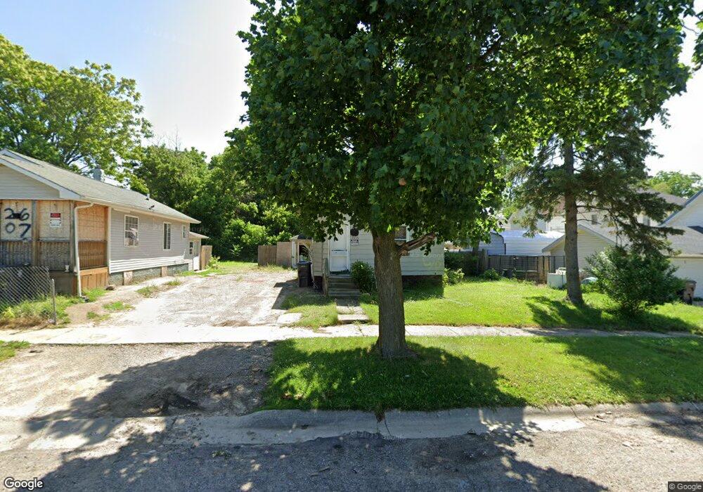
2613 Dawson St Flint, MI 48503
Southside Business District NeighborhoodEstimated Value: $30,000 - $52,000
2
Beds
1
Bath
748
Sq Ft
$57/Sq Ft
Est. Value
About This Home
This home is located at 2613 Dawson St, Flint, MI 48503 and is currently estimated at $42,506, approximately $56 per square foot. 2613 Dawson St is a home located in Genesee County with nearby schools including Freeman Elementary School, Flint Southwestern Classical Academy, and International Academy of Flint (K-12).
Ownership History
Date
Name
Owned For
Owner Type
Purchase Details
Closed on
Aug 26, 2020
Sold by
Jrab Group Llc
Bought by
Baranyia Daniel J
Current Estimated Value
Purchase Details
Closed on
Mar 7, 2019
Sold by
Maynard Linda J
Bought by
Jrab Group Llc
Purchase Details
Closed on
Dec 18, 2017
Sold by
Mccarley James D and Maynard Linda J
Bought by
Maynard Linda J
Purchase Details
Closed on
Oct 23, 2013
Sold by
Mccarley William A and Mccarley James D
Bought by
Mccarley William A and Mccarley James D
Purchase Details
Closed on
Mar 1, 2011
Sold by
Mccarley William A
Bought by
Mccarley William A and Mccarley James D
Purchase Details
Closed on
Jun 24, 2005
Sold by
Mccarley James D and Mccarley Michelle J
Bought by
Mccarley William A and Mccarley Edna
Purchase Details
Closed on
Nov 1, 2001
Sold by
Rood Mark P and Rood Donna F
Bought by
Mccarley William A
Create a Home Valuation Report for This Property
The Home Valuation Report is an in-depth analysis detailing your home's value as well as a comparison with similar homes in the area
Home Values in the Area
Average Home Value in this Area
Purchase History
| Date | Buyer | Sale Price | Title Company |
|---|---|---|---|
| Baranyia Daniel J | -- | None Available | |
| Jrab Group Llc | $11,750 | Sargents Title Company Llc | |
| Maynard Linda J | -- | None Available | |
| Mccarley William A | -- | None Available | |
| Mccarley William A | -- | None Available | |
| Mccarley William A | -- | -- | |
| Mccarley William A | $18,000 | Centennial Title & Abstract |
Source: Public Records
Tax History Compared to Growth
Tax History
| Year | Tax Paid | Tax Assessment Tax Assessment Total Assessment is a certain percentage of the fair market value that is determined by local assessors to be the total taxable value of land and additions on the property. | Land | Improvement |
|---|---|---|---|---|
| 2025 | $663 | $9,000 | $0 | $0 |
| 2024 | $625 | $9,100 | $0 | $0 |
| 2023 | $620 | $8,000 | $0 | $0 |
| 2022 | $0 | $5,700 | $0 | $0 |
| 2021 | $623 | $4,900 | $0 | $0 |
| 2020 | $713 | $6,800 | $0 | $0 |
| 2019 | $654 | $6,200 | $0 | $0 |
| 2018 | $624 | $6,800 | $0 | $0 |
| 2017 | $611 | $0 | $0 | $0 |
| 2016 | $607 | $0 | $0 | $0 |
| 2015 | -- | $0 | $0 | $0 |
| 2014 | -- | $0 | $0 | $0 |
| 2012 | -- | $7,600 | $0 | $0 |
Source: Public Records
Map
Nearby Homes
- 133 E Oakley St
- 639 Monroe St
- 647 Monroe St
- 657 Barrie Ave
- 517 Morley Ave
- 741 Barrie Ave
- 615 Freeman Ave
- 3214 S Grand Traverse St
- 812 Remington Ave
- 115 E Livingston Dr
- 213 E Lakeview Ave
- 3218 Collingwood Pkwy
- 834 Remington Ave
- 730 Freeman Ave
- 1517 Tacoma St
- 745 Freeman Ave
- 1511 Tacoma St
- 2050 Ferris Ave
- 839 SiMcOe Ave
- 420 Pingree Ave
- 228 W Linsey Blvd
- 226 W Linsey Blvd
- 214 W Linsey Blvd
- 2607 Dawson St
- 218 W Linsey Blvd
- 225 W Linsey Blvd
- 223 W Linsey Blvd
- 210 W Linsey Blvd
- 217 W Linsey Blvd
- 217 W Tobias St
- 213 W Linsey Blvd
- 225 W Tobias St
- 206 W Linsey Blvd
- 221 W Tobias St
- 213 W Tobias St
- 209 W Linsey Blvd
- 209 W Tobias St
- 205 W Linsey Blvd
- 201 W Linsey Blvd
- 201 W Tobias St