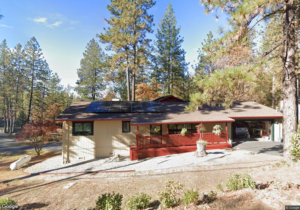
2614 Morrene Dr Placerville, CA 95667
Estimated Value: $472,826 - $503,000
3
Beds
2
Baths
1,748
Sq Ft
$281/Sq Ft
Est. Value
About This Home
This home is located at 2614 Morrene Dr, Placerville, CA 95667 and is currently estimated at $491,957, approximately $281 per square foot. 2614 Morrene Dr is a home located in El Dorado County with nearby schools including El Dorado High School, Country Day Montessori, and El Dorado Adventist School.
Ownership History
Date
Name
Owned For
Owner Type
Purchase Details
Closed on
Nov 20, 2017
Sold by
Hall Robert N and Hall Anne L
Bought by
Hall Robert N and Hall Anne L
Current Estimated Value
Purchase Details
Closed on
Jun 21, 1995
Sold by
Howell Charles D and Howell Mary Ann
Bought by
Hall Robert N and Hall Anne L
Home Financials for this Owner
Home Financials are based on the most recent Mortgage that was taken out on this home.
Original Mortgage
$148,323
Interest Rate
7.92%
Mortgage Type
FHA
Create a Home Valuation Report for This Property
The Home Valuation Report is an in-depth analysis detailing your home's value as well as a comparison with similar homes in the area
Home Values in the Area
Average Home Value in this Area
Purchase History
| Date | Buyer | Sale Price | Title Company |
|---|---|---|---|
| Hall Robert N | -- | None Available | |
| Hall Robert N | $150,000 | First American Title |
Source: Public Records
Mortgage History
| Date | Status | Borrower | Loan Amount |
|---|---|---|---|
| Closed | Hall Robert N | $148,323 |
Source: Public Records
Tax History
| Year | Tax Paid | Tax Assessment Tax Assessment Total Assessment is a certain percentage of the fair market value that is determined by local assessors to be the total taxable value of land and additions on the property. | Land | Improvement |
|---|---|---|---|---|
| 2025 | $3,324 | $319,894 | $72,118 | $247,776 |
| 2024 | $3,324 | $313,622 | $70,704 | $242,918 |
| 2023 | $3,286 | $307,473 | $69,318 | $238,155 |
| 2022 | $3,239 | $301,445 | $67,959 | $233,486 |
| 2021 | $3,203 | $295,535 | $66,627 | $228,908 |
| 2020 | $3,222 | $298,749 | $65,944 | $232,805 |
| 2019 | $3,181 | $292,718 | $64,651 | $228,067 |
| 2018 | $3,077 | $286,298 | $63,384 | $222,914 |
| 2017 | $2,964 | $281,308 | $62,142 | $219,166 |
| 2016 | $2,933 | $277,380 | $60,924 | $216,456 |
| 2015 | $2,808 | $273,434 | $60,010 | $213,424 |
| 2014 | $2,808 | $268,914 | $58,836 | $210,078 |
Source: Public Records
Map
Nearby Homes
- 1131 Bush Ct
- 1016 Utah Dr
- 2655 Mona Dr
- 1012 Utah Dr
- 1008 Utah Dr
- 2350 Big Canyon Creek Rd
- 1006 Utah Dr
- 1004 Utah Dr
- 1002 Utah Dr
- 1000 Utah Dr
- 2940 Anderson Way
- 1049 Kimi Way
- 1110 Madrone Ln
- 2660 Clay St
- 945 Crawford Drift Ct
- 944 Crawford Drift Ct
- 2921 Miller Way
- 2624 Liberty Mine Ct
- 2532 Golden Eagle Dr
- 2977 Mosquito Rd
- 1192 Aggregate Way
- 2615 Morrene Dr
- 1186 Bush Ct
- 2621 Morrene Dr
- 2607 Morrene Dr
- 0 Morrene (14 87acs) Dr Unit 90022576
- 0 Morrene ( 62 Acres) Dr Unit 14001207
- 1182 Aggregate Way
- 1195 Aggregate Way
- 2628 Morrene Dr
- 2601 Morrene Dr
- 1191 Aggregate Way
- 2633 Morrene Dr
- 2640 Morrene Dr
- 1168 Bush Ct
- 2645 Morrene Dr
- 0 Aggregate Way
- 2595 Morrene Dr
- 2590 Morrene Dr
- 2585 Morrene Dr
Your Personal Tour Guide
Ask me questions while you tour the home.