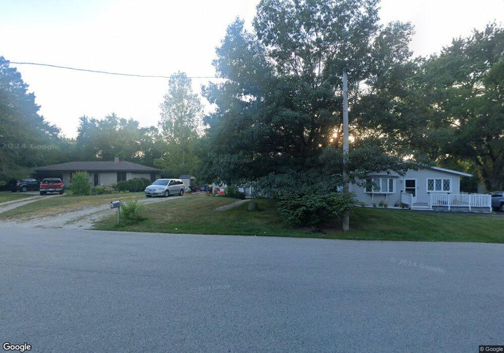
2615 Highwood Rd McHenry, IL 60051
Estimated Value: $197,000 - $208,000
2
Beds
3
Baths
704
Sq Ft
$286/Sq Ft
Est. Value
About This Home
This home is located at 2615 Highwood Rd, McHenry, IL 60051 and is currently estimated at $201,200, approximately $285 per square foot. 2615 Highwood Rd is a home located in McHenry County with nearby schools including Edgebrook Elementary School, Chauncey H Duker School, and Mchenry Middle School.
Ownership History
Date
Name
Owned For
Owner Type
Purchase Details
Closed on
Jun 26, 2003
Sold by
Wells Fargo Bank Minn Na
Bought by
Payne Michael E
Current Estimated Value
Home Financials for this Owner
Home Financials are based on the most recent Mortgage that was taken out on this home.
Original Mortgage
$72,000
Outstanding Balance
$30,864
Interest Rate
5.37%
Mortgage Type
Purchase Money Mortgage
Estimated Equity
$170,336
Purchase Details
Closed on
Feb 24, 2003
Sold by
Hansen Kai Gary
Bought by
Wells Fargo Bank Minn
Create a Home Valuation Report for This Property
The Home Valuation Report is an in-depth analysis detailing your home's value as well as a comparison with similar homes in the area
Home Values in the Area
Average Home Value in this Area
Purchase History
| Date | Buyer | Sale Price | Title Company |
|---|---|---|---|
| Payne Michael E | $90,000 | Multiple | |
| Wells Fargo Bank Minn | -- | -- |
Source: Public Records
Mortgage History
| Date | Status | Borrower | Loan Amount |
|---|---|---|---|
| Open | Payne Michael E | $72,000 |
Source: Public Records
Tax History Compared to Growth
Tax History
| Year | Tax Paid | Tax Assessment Tax Assessment Total Assessment is a certain percentage of the fair market value that is determined by local assessors to be the total taxable value of land and additions on the property. | Land | Improvement |
|---|---|---|---|---|
| 2024 | $4,025 | $50,592 | $13,896 | $36,696 |
| 2023 | $3,942 | $45,370 | $12,462 | $32,908 |
| 2022 | $3,703 | $41,490 | $11,396 | $30,094 |
| 2021 | $3,565 | $38,899 | $10,684 | $28,215 |
| 2020 | $3,543 | $37,733 | $10,364 | $27,369 |
| 2019 | $3,461 | $35,875 | $9,854 | $26,021 |
| 2018 | $3,620 | $33,698 | $9,256 | $24,442 |
| 2017 | $3,569 | $32,284 | $8,868 | $23,416 |
| 2016 | $3,528 | $30,802 | $8,461 | $22,341 |
| 2013 | -- | $29,315 | $8,053 | $21,262 |
Source: Public Records
Map
Nearby Homes
- 2610 S Thomas Ct
- Lot 12 W Northeast Shore Dr
- Lot 11 W Northeast Shore Dr
- Lot 10 W Northeast Shore Dr
- Lot 9 W Northeast Shore Dr
- Lot 8 W Northeast Shore Dr
- Lot 7 W Northeast Shore Dr
- Lot 4 W Northeast Shore Dr
- Lot 5 W Northeast Shore Dr
- Lot 6 W Northeast Shore Dr
- Lot 3 W Northeast Shore Dr
- Lot 2 W Northeast Shore Dr
- 244 Red Oak Ct
- 2448 Fen View Cir
- 404 Lauren Ln
- 318 David Ct
- 2501 S Birchwood Ave
- 2085 Walnut Glen Blvd
- lot 23 Park Dr
- Lot 5 Tower Dr
- 2619 Highwood Rd Unit 1
- 2613 Highwood Rd
- 2611 Highwood Rd
- 2616 Forestwood Dr
- 2614 Forestwood Dr
- 2612 Forestwood Dr
- 2609 Highwood Rd
- 624 Tulip Cir
- 2607 Highwood Rd
- 600 Tulip Cir
- Lot 15 Forestwood Dr
- 2610 Forestwood Dr
- 2608 Forestwood Dr
- 605 Tulip Cir
- 2606 Forestwood Dr
- 2615 Forestwood Dr
- 2613 Forestwood Dr
- 2603 Highwood Rd
- 2617 Forestwood Dr
- 2611 Forestwood Dr