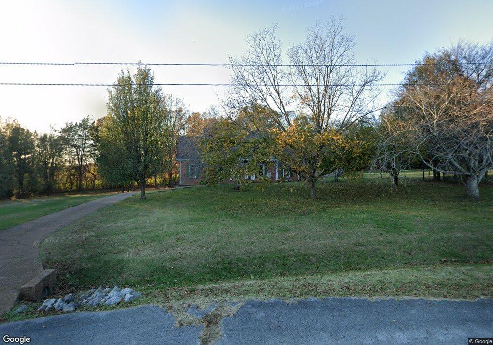
2615 Sherrie Ln Thompsons Station, TN 37179
Estimated Value: $804,000 - $992,000
--
Bed
3
Baths
2,430
Sq Ft
$368/Sq Ft
Est. Value
About This Home
This home is located at 2615 Sherrie Ln, Thompsons Station, TN 37179 and is currently estimated at $893,531, approximately $367 per square foot. 2615 Sherrie Ln is a home located in Williamson County with nearby schools including Thompson's Station Middle School, Summit High School, and Primrose School of Spring Hill.
Ownership History
Date
Name
Owned For
Owner Type
Purchase Details
Closed on
Apr 2, 2007
Sold by
Amond Laura K and Amond David
Bought by
Amond David and Amond Laura K
Current Estimated Value
Home Financials for this Owner
Home Financials are based on the most recent Mortgage that was taken out on this home.
Original Mortgage
$246,000
Outstanding Balance
$148,002
Interest Rate
6.15%
Mortgage Type
New Conventional
Estimated Equity
$745,529
Purchase Details
Closed on
Jul 31, 2003
Sold by
Laliberte Thomas P and Laliberte Lynda A
Bought by
Walker Amond David and Walker Amond Laura
Home Financials for this Owner
Home Financials are based on the most recent Mortgage that was taken out on this home.
Original Mortgage
$255,000
Interest Rate
5.42%
Mortgage Type
Purchase Money Mortgage
Create a Home Valuation Report for This Property
The Home Valuation Report is an in-depth analysis detailing your home's value as well as a comparison with similar homes in the area
Home Values in the Area
Average Home Value in this Area
Purchase History
| Date | Buyer | Sale Price | Title Company |
|---|---|---|---|
| Amond David | -- | Chapman & Rosenthal Title In | |
| Walker Amond David | $255,000 | -- |
Source: Public Records
Mortgage History
| Date | Status | Borrower | Loan Amount |
|---|---|---|---|
| Open | Amond David | $246,000 | |
| Closed | Walker Amond David | $255,000 |
Source: Public Records
Tax History Compared to Growth
Tax History
| Year | Tax Paid | Tax Assessment Tax Assessment Total Assessment is a certain percentage of the fair market value that is determined by local assessors to be the total taxable value of land and additions on the property. | Land | Improvement |
|---|---|---|---|---|
| 2025 | $2,380 | $196,650 | $62,825 | $133,825 |
| 2024 | $2,380 | $119,975 | $38,250 | $81,725 |
| 2023 | $2,380 | $119,975 | $38,250 | $81,725 |
| 2022 | $2,380 | $119,975 | $38,250 | $81,725 |
| 2021 | $2,380 | $119,975 | $38,250 | $81,725 |
| 2020 | $1,988 | $85,600 | $20,725 | $64,875 |
| 2019 | $1,988 | $85,600 | $20,725 | $64,875 |
| 2018 | $1,928 | $85,600 | $20,725 | $64,875 |
| 2017 | $1,911 | $85,600 | $20,725 | $64,875 |
| 2016 | $1,886 | $85,600 | $20,725 | $64,875 |
| 2015 | -- | $77,850 | $18,750 | $59,100 |
| 2014 | -- | $77,850 | $18,750 | $59,100 |
Source: Public Records
Map
Nearby Homes
- 2752 Thompson Station Rd E
- 0 Thompson's Station Rd E
- 2612 Buckner Ln
- 2790 Iroquois Dr
- 799 Saint Clair Ave
- 781 Saint Clair Ave
- 2620 Buckner Ln
- 2795 Iroquois Dr
- 2739 Thompson Station Rd E
- 328 Huron Dr
- 316 Huron Dr
- 310 Huron Dr
- 145 Salton Ln
- 155 Salton Ln
- 157 Salton Ln
- 148 Salton Ln
- 140 Salton Ln
- 147 Salton Ln
- 150 Salton Ln
- 151 Salton Ln
- 2611 Sherrie Ln
- 2614 Sherrie Ln
- 2619 Sherrie Ln
- 2610 Sherrie Ln
- 2607 Sherrie Ln
- 2622 Sherrie Ln
- 2825 Stacey St
- 2821 Stacey St
- 2623 Sherrie Ln
- 2817 Stacey St
- 2632 Sherrie Ln
- 2603 Sherrie Ln
- 2604 Sherrie Ln
- 2627 Sherrie Ln
- 2813 Stacey St
- 2631 Sherrie Ln
- 2700 Brenda St
- 2809 Stacey St
- 2826 Stacey St
- 2830 Stacey St