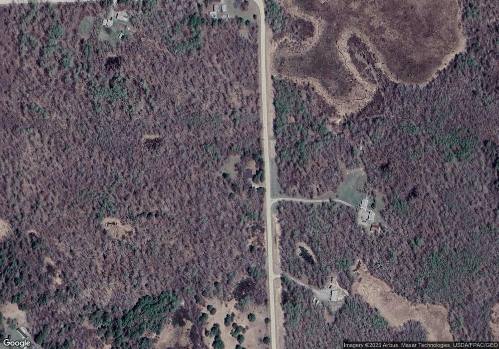
2615 Wren Dr NE Bemidji, MN 56601
Estimated Value: $282,000 - $316,000
3
Beds
1
Bath
1,248
Sq Ft
$239/Sq Ft
Est. Value
About This Home
This home is located at 2615 Wren Dr NE, Bemidji, MN 56601 and is currently estimated at $298,103, approximately $238 per square foot. 2615 Wren Dr NE is a home located in Beltrami County with nearby schools including Lincoln Elementary School, Bemidji Middle School, and Bemidji Senior High School.
Ownership History
Date
Name
Owned For
Owner Type
Purchase Details
Closed on
May 12, 2025
Sold by
Voigt Tonie Lynn and Pelland Phillip Scott
Bought by
Pelland Phillip Scott
Current Estimated Value
Home Financials for this Owner
Home Financials are based on the most recent Mortgage that was taken out on this home.
Original Mortgage
$156,055
Outstanding Balance
$154,974
Interest Rate
6.64%
Mortgage Type
New Conventional
Estimated Equity
$143,129
Purchase Details
Closed on
Sep 6, 2019
Sold by
Fjelsta Jean D
Bought by
Voigt Tonie Lynn and Pelland Phillip Scott
Home Financials for this Owner
Home Financials are based on the most recent Mortgage that was taken out on this home.
Original Mortgage
$175,750
Interest Rate
3.7%
Mortgage Type
New Conventional
Purchase Details
Closed on
Aug 20, 2009
Sold by
Voigt Chance F and Voigt Tonie L
Bought by
Voigt Chance F and Voigt Tonie L
Create a Home Valuation Report for This Property
The Home Valuation Report is an in-depth analysis detailing your home's value as well as a comparison with similar homes in the area
Home Values in the Area
Average Home Value in this Area
Purchase History
| Date | Buyer | Sale Price | Title Company |
|---|---|---|---|
| Pelland Phillip Scott | $500 | Mortgage Connect | |
| Voigt Tonie Lynn | $185,000 | Leer Title Services | |
| Voigt Chance F | -- | None Available | |
| Voigt Chance F | -- | None Available |
Source: Public Records
Mortgage History
| Date | Status | Borrower | Loan Amount |
|---|---|---|---|
| Open | Pelland Phillip Scott | $156,055 | |
| Previous Owner | Voigt Tonie Lynn | $175,750 |
Source: Public Records
Tax History Compared to Growth
Tax History
| Year | Tax Paid | Tax Assessment Tax Assessment Total Assessment is a certain percentage of the fair market value that is determined by local assessors to be the total taxable value of land and additions on the property. | Land | Improvement |
|---|---|---|---|---|
| 2025 | $2,457 | $284,300 | $84,900 | $199,400 |
| 2024 | $2,314 | $256,000 | $71,600 | $184,400 |
| 2023 | $2,314 | $256,000 | $71,600 | $184,400 |
| 2022 | $1,868 | $214,900 | $64,200 | $150,700 |
| 2021 | $1,752 | $160,400 | $48,200 | $112,200 |
| 2019 | $1,552 | $160,400 | $48,200 | $112,200 |
| 2018 | $1,518 | $146,900 | $48,700 | $98,200 |
| 2016 | $1,450 | $135,700 | $47,700 | $88,000 |
| 2015 | $1,394 | $137,000 | $0 | $0 |
| 2014 | $1,254 | $136,400 | $0 | $0 |
| 2011 | $1,458 | $147,400 | $0 | $0 |
Source: Public Records
Map
Nearby Homes
- 11106 Atylade Ct NE
- 10106 Power Dam Rd NE
- 2224 Peninsula Ct NE
- 8329 Stump Lake Dr NE
- 13217 Beaver Rd NE
- 0000 Lamon Rd NE
- 000 Lamon Rd NE
- 7047 Kingfisher Ln NE
- L30B1 Acorn Ridge Rd NW
- L6B2 Acorn Ridge Rd NW
- L32B1 Acorn Ridge Rd NW
- L28B1 Acorn Ridge Rd NW
- L2B2 Acorn Ridge Rd NW
- L37B1 Acorn Ridge Rd NW
- L6B1 Acorn Ridge Rd NW
- L23B1 Acorn Ridge Rd NW
- L19B1 Acorn Ridge Rd NW
- L11B1 Acorn Ridge Rd NW
- L13B1 Acorn Ridge Rd NW
- L5B2 Acorn Ridge Rd NW
- 2600 Wren Dr NE
- 2492 Wren Dr NE
- 10542 Hensel Dr NE
- 10430 Hensel Dr NE
- 2240 Wren Dr NE
- 0 Wren Dr NE
- 10769 Power Dam Rd NE
- 10921 Power Dam Rd NE
- 0 Power Dam Rd NE Unit 4696145
- 0 Power Dam Rd NE Unit 5587308
- 0 Power Dam Rd NE Unit 5587296
- 0 Power Dam Rd NE Unit NST5589815
- 0 Power Dam Rd NE Unit NST5587162
- 0 Power Dam Rd NE Unit Parcel 14.00009.00
- 10910 Power Dam Rd NE
- 2098 Old Crossing Trail NE
- 2605 Parkers Lake Rd NE
- 11107 Atylade Ct NE
- 11163 Power Dam Rd NE
- 2048 Farmstead Ln NE
