26169 Bruffs Island Rd Easton, MD 21601
Estimated Value: $3,233,350 - $3,478,000
--
Bed
2
Baths
2,402
Sq Ft
$1,397/Sq Ft
Est. Value
About This Home
This home is located at 26169 Bruffs Island Rd, Easton, MD 21601 and is currently estimated at $3,355,675, approximately $1,397 per square foot. 26169 Bruffs Island Rd is a home located in Talbot County with nearby schools including St. Michaels Elementary School, St. Michaels Middle/High School, and Easton High School.
Ownership History
Date
Name
Owned For
Owner Type
Purchase Details
Closed on
Dec 22, 2008
Sold by
Ns L & Corporation
Bought by
Nsc Land Corporation
Current Estimated Value
Purchase Details
Closed on
Dec 17, 2008
Sold by
Ns L & Corporation
Bought by
Nsc Land Corporation
Purchase Details
Closed on
Mar 8, 1991
Sold by
Jones Jones K and Jones Lawrence D
Bought by
Ns Land Corporation
Create a Home Valuation Report for This Property
The Home Valuation Report is an in-depth analysis detailing your home's value as well as a comparison with similar homes in the area
Home Values in the Area
Average Home Value in this Area
Purchase History
| Date | Buyer | Sale Price | Title Company |
|---|---|---|---|
| Nsc Land Corporation | -- | -- | |
| Nsc Land Corporation | -- | -- | |
| Ns Land Corporation | $1,500,000 | -- |
Source: Public Records
Tax History Compared to Growth
Tax History
| Year | Tax Paid | Tax Assessment Tax Assessment Total Assessment is a certain percentage of the fair market value that is determined by local assessors to be the total taxable value of land and additions on the property. | Land | Improvement |
|---|---|---|---|---|
| 2025 | $16,526 | $1,862,767 | $0 | $0 |
| 2024 | $16,526 | $1,819,500 | $1,259,700 | $559,800 |
| 2023 | $15,606 | $1,812,133 | $0 | $0 |
| 2022 | $14,447 | $1,804,767 | $0 | $0 |
| 2021 | $13,935 | $1,797,400 | $1,259,700 | $537,700 |
| 2020 | $13,592 | $1,797,400 | $1,259,700 | $537,700 |
| 2019 | $13,592 | $1,797,400 | $1,259,700 | $537,700 |
| 2018 | $13,735 | $1,879,200 | $1,359,700 | $519,500 |
| 2017 | $12,321 | $1,769,300 | $0 | $0 |
| 2016 | $12,482 | $1,769,300 | $0 | $0 |
| 2015 | $12,714 | $1,904,900 | $0 | $0 |
| 2014 | $12,714 | $1,904,900 | $0 | $0 |
Source: Public Records
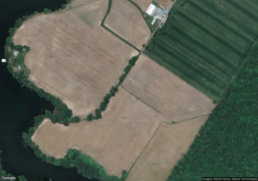
Map
Nearby Homes
- 26972 Tunis Mills Rd
- 133 Kilby Point
- 27047 Presquile Rd
- 3207 Bennett Point Rd
- 26546 Presquile Dr N
- 3027 Bennett Point Rd
- 11977 Billys Point Ln
- 3021 Bennett Point Rd
- 0 Hunting Creek Ln Unit MDTA2011738
- 9170 Hunting Creek Ln
- 8629 Unionville Rd
- 9900 Eagle Dr
- 0 Unionville Rd Unit MDTA2008824
- 27772 Sharp Rd
- 24749 Swan Rd
- 24560 Deepwater Point Dr Unit 1
- 9517 Gulleys Cove Ln
- 9545 Quail Hollow Dr Unit 205
- 9791 Pintail Place
- 27413 Ferry Bridge Rd
- 11165 Bruffs Island Rd
- 26400 Bruffs Island Rd
- 25922 Bruffs Island Rd
- 10667 Wye Town Farm Rd
- 10188 Copperville Rd
- 10180 Copperville Rd
- 10162 Copperville Rd
- 25937 Voit Rd
- 10103 Copperville Rd
- 25910 Voit Rd
- 25864 Voit Rd
- 25905 Voit Rd
- 25780 Bruffs Island Rd
- 10171 Copperville Rd
- 10161 Copperville Rd
- 26080 Bruffs Island Rd
- 26233 Martingdale Ln
- 25750 Bruffs Island Rd
- 26060 Voit Rd
- 25918 Voit Rd