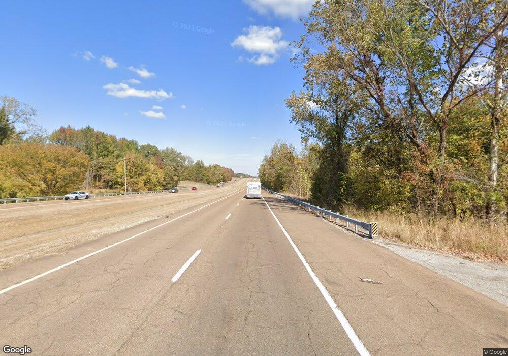
2617 Highway 51 N Ripley, TN 38063
Estimated Value: $147,711 - $180,000
--
Bed
2
Baths
1,240
Sq Ft
$134/Sq Ft
Est. Value
About This Home
This home is located at 2617 Highway 51 N, Ripley, TN 38063 and is currently estimated at $166,178, approximately $134 per square foot. 2617 Highway 51 N is a home located in Lauderdale County with nearby schools including Ripley Primary School, Ripley Elementary School, and Ripley Middle School.
Ownership History
Date
Name
Owned For
Owner Type
Purchase Details
Closed on
Apr 14, 2003
Sold by
Union Planters Bank
Bought by
Randy Lankford
Current Estimated Value
Purchase Details
Closed on
Sep 19, 2002
Sold by
Craig George Iii & Sub Tru
Bought by
Union Planters Bank Na
Purchase Details
Closed on
May 31, 2001
Sold by
Beaird Daniel R and Beaird Joy E
Bought by
Craig George H
Purchase Details
Closed on
Jun 17, 1999
Sold by
Kathi Sandoval
Bought by
Daniel Beaird and Daniel Joy
Purchase Details
Closed on
Mar 14, 1995
Sold by
Michael Sandoval and Michael Kathi
Bought by
Kathi Sandoval
Purchase Details
Closed on
Oct 17, 1987
Bought by
Sandoval Michael and Sandoval Kathi
Purchase Details
Closed on
Feb 20, 1986
Bought by
Latham Brothers
Purchase Details
Closed on
Jun 7, 1976
Create a Home Valuation Report for This Property
The Home Valuation Report is an in-depth analysis detailing your home's value as well as a comparison with similar homes in the area
Home Values in the Area
Average Home Value in this Area
Purchase History
| Date | Buyer | Sale Price | Title Company |
|---|---|---|---|
| Randy Lankford | $37,500 | -- | |
| Union Planters Bank Na | $71,866 | -- | |
| Craig George H | $69,000 | -- | |
| Daniel Beaird | $55,000 | -- | |
| Kathi Sandoval | -- | -- | |
| Sandoval Michael | -- | -- | |
| Latham Brothers | -- | -- | |
| -- | -- | -- |
Source: Public Records
Tax History Compared to Growth
Tax History
| Year | Tax Paid | Tax Assessment Tax Assessment Total Assessment is a certain percentage of the fair market value that is determined by local assessors to be the total taxable value of land and additions on the property. | Land | Improvement |
|---|---|---|---|---|
| 2025 | $453 | $17,850 | $0 | $0 |
| 2024 | $453 | $17,850 | $1,800 | $16,050 |
| 2023 | $899 | $17,850 | $1,800 | $16,050 |
| 2022 | $899 | $17,850 | $1,800 | $16,050 |
| 2021 | $861 | $17,850 | $1,800 | $16,050 |
| 2020 | $864 | $17,850 | $1,800 | $16,050 |
| 2019 | $864 | $15,700 | $2,250 | $13,450 |
| 2018 | $864 | $15,700 | $2,250 | $13,450 |
| 2017 | $844 | $15,700 | $2,250 | $13,450 |
| 2016 | $811 | $15,700 | $2,250 | $13,450 |
| 2015 | $869 | $15,700 | $2,250 | $13,450 |
| 2014 | $515 | $17,775 | $2,250 | $15,525 |
Source: Public Records
Map
Nearby Homes
- 2631 Highway 51 N
- 1216 Cedar Grove Ext Rd
- 738 American Way
- 158 Barry White Ln
- 45 Village Ave
- 0 Naber St
- 187 Collins St
- 0 Collins St
- 319 Jordan St
- 2440 Edith Nankipoo Rd
- 102 Stone Brook Cove
- 107 Stone Brook Cove
- 103 Stone Brook Cove
- 108 Walnut Ridge
- 109 Walnut Ridge
- 100 Raven Hill Ln
- 56 York Commons
- 55 York Commons
- 52 York Commons
- 060 York Commons
- 2591 Highway 51 N
- 163 Hargett Dr
- 183 Hargett Dr
- 141 Hargett Dr
- 2567 Highway 51 N
- 115 Hargett Dr
- 160 Hargett Dr
- 62 Smith Dr
- 2543 Highway 51 N
- 38 Smith Dr
- 93 Hargett Dr
- 132 Hargett Dr
- 84 Smith Dr
- 82 Hargett Dr
- 87 Hargett Dr
- 62 Hargett Dr
- 363 Cedar Grove Road Extension
- 55 Hargett Dr
- 42 Hargett Dr
- 389 Cedar Grove Road Extension
