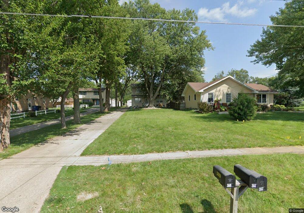
2617 Westover Blvd Des Moines, IA 50322
Merle Hay NeighborhoodEstimated Value: $281,000 - $320,000
4
Beds
2
Baths
1,920
Sq Ft
$159/Sq Ft
Est. Value
About This Home
This home is located at 2617 Westover Blvd, Des Moines, IA 50322 and is currently estimated at $304,770, approximately $158 per square foot. 2617 Westover Blvd is a home located in Polk County with nearby schools including Hillis Elementary School, Meredith Middle School, and Hoover High School.
Ownership History
Date
Name
Owned For
Owner Type
Purchase Details
Closed on
Jan 23, 2025
Sold by
Hart James A
Bought by
Hart Property Management Llc
Current Estimated Value
Purchase Details
Closed on
Oct 15, 2005
Sold by
Reinhart Jodi G and Reinhart John
Bought by
Hart James A
Home Financials for this Owner
Home Financials are based on the most recent Mortgage that was taken out on this home.
Original Mortgage
$127,200
Interest Rate
5.83%
Mortgage Type
Fannie Mae Freddie Mac
Create a Home Valuation Report for This Property
The Home Valuation Report is an in-depth analysis detailing your home's value as well as a comparison with similar homes in the area
Home Values in the Area
Average Home Value in this Area
Purchase History
| Date | Buyer | Sale Price | Title Company |
|---|---|---|---|
| Hart Property Management Llc | -- | None Listed On Document | |
| Hart Property Management Llc | -- | None Listed On Document | |
| Hart James A | $158,500 | -- |
Source: Public Records
Mortgage History
| Date | Status | Borrower | Loan Amount |
|---|---|---|---|
| Previous Owner | Hart James A | $127,200 |
Source: Public Records
Tax History Compared to Growth
Tax History
| Year | Tax Paid | Tax Assessment Tax Assessment Total Assessment is a certain percentage of the fair market value that is determined by local assessors to be the total taxable value of land and additions on the property. | Land | Improvement |
|---|---|---|---|---|
| 2025 | $5,730 | $313,600 | $54,000 | $259,600 |
| 2024 | $5,730 | $288,600 | $48,800 | $239,800 |
| 2023 | $5,724 | $288,600 | $48,800 | $239,800 |
| 2022 | $5,678 | $240,700 | $42,400 | $198,300 |
| 2021 | $5,544 | $240,700 | $42,400 | $198,300 |
| 2020 | $5,756 | $220,200 | $38,700 | $181,500 |
| 2019 | $5,374 | $220,200 | $38,700 | $181,500 |
| 2018 | $5,316 | $198,200 | $34,100 | $164,100 |
| 2017 | $4,892 | $198,200 | $34,100 | $164,100 |
| 2016 | $4,758 | $179,400 | $30,400 | $149,000 |
| 2015 | $4,758 | $179,400 | $30,400 | $149,000 |
| 2014 | $4,330 | $167,500 | $27,800 | $139,700 |
Source: Public Records
Map
Nearby Homes
- 2613 Westover Blvd
- 2625 Westover Blvd
- 2629 Westover Blvd
- 2609 Westover Blvd
- 2703 Westover Blvd
- 2607 Westover Blvd
- 2620 64th St
- 2707 Westover Blvd
- 6502 Sheridan Ave
- 2614 Westover Blvd
- 2517 Westover Blvd
- 2700 64th St
- 6401 Dawson Dr
- 6503 Sheridan Ave
- 6412 Robin Dr
- 2706 64th St
- 2513 Westover Blvd
- 6400 Dawson Dr
- 6406 Robin Dr
- 2706 Westover Blvd