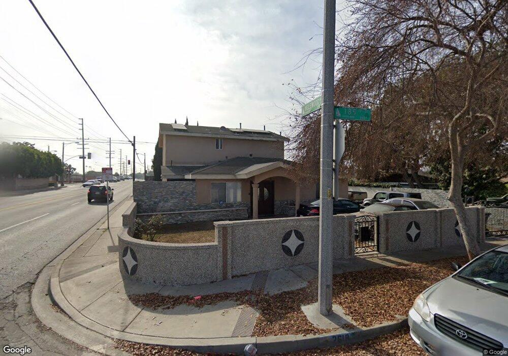
2618 185th St Redondo Beach, CA 90278
North Redondo Beach NeighborhoodEstimated Value: $1,574,434 - $1,907,000
5
Beds
4
Baths
2,245
Sq Ft
$782/Sq Ft
Est. Value
About This Home
This home is located at 2618 185th St, Redondo Beach, CA 90278 and is currently estimated at $1,754,609, approximately $781 per square foot. 2618 185th St is a home located in Los Angeles County with nearby schools including Washington Elementary School, Adams Middle School, and Redondo Union High School.
Ownership History
Date
Name
Owned For
Owner Type
Purchase Details
Closed on
Jul 14, 1997
Sold by
Averill M Lorena and Zamora Martha Lorena
Bought by
Attalla Ashraf and Attalla Amal
Current Estimated Value
Home Financials for this Owner
Home Financials are based on the most recent Mortgage that was taken out on this home.
Original Mortgage
$169,650
Outstanding Balance
$24,549
Interest Rate
7.61%
Estimated Equity
$1,730,060
Purchase Details
Closed on
Dec 16, 1994
Sold by
Averill Kevin
Bought by
Averill M Lorena
Create a Home Valuation Report for This Property
The Home Valuation Report is an in-depth analysis detailing your home's value as well as a comparison with similar homes in the area
Home Values in the Area
Average Home Value in this Area
Purchase History
| Date | Buyer | Sale Price | Title Company |
|---|---|---|---|
| Attalla Ashraf | $188,500 | Old Republic Title | |
| Averill M Lorena | -- | -- |
Source: Public Records
Mortgage History
| Date | Status | Borrower | Loan Amount |
|---|---|---|---|
| Open | Attalla Ashraf | $169,650 |
Source: Public Records
Tax History
| Year | Tax Paid | Tax Assessment Tax Assessment Total Assessment is a certain percentage of the fair market value that is determined by local assessors to be the total taxable value of land and additions on the property. | Land | Improvement |
|---|---|---|---|---|
| 2025 | $5,893 | $448,322 | $231,352 | $216,970 |
| 2024 | $5,893 | $439,532 | $226,816 | $212,716 |
| 2023 | $5,795 | $430,915 | $222,369 | $208,546 |
| 2022 | $5,678 | $422,466 | $218,009 | $204,457 |
| 2021 | $5,516 | $414,184 | $213,735 | $200,449 |
| 2019 | $5,371 | $401,901 | $207,397 | $194,504 |
| 2018 | $5,170 | $394,022 | $203,331 | $190,691 |
| 2016 | $4,987 | $378,724 | $195,437 | $183,287 |
| 2015 | $4,902 | $373,036 | $192,502 | $180,534 |
| 2014 | $4,835 | $365,730 | $188,732 | $176,998 |
Source: Public Records
Map
Nearby Homes
- 2714 184th St
- 2516 185th St
- 2618 182nd Place
- 2722 Spreckels Ln
- 2420 Ives Ln Unit B
- 2420 Ives Ln Unit A
- 18506 Kingsdale Ave
- 18528 Kingsdale Ave
- 606 Phelan Ln
- 2809 190th St Unit B
- 2407 Ripley Ave
- 2607 Huntington Ln
- 2706 Grant Ave Unit A
- 2345 190th St Unit 63
- 2604 Grant Ave Unit A
- 2604 Grant Ave Unit B
- 2345 W 190th St Unit 77
- 4542 W 191st St
- 634 Meyer Ln Unit D
- 2410 Grant Ave Unit A
Your Personal Tour Guide
Ask me questions while you tour the home.