2618 N Carnoustie Loop Lecanto, FL 34461
Black Diamond NeighborhoodEstimated Value: $535,610 - $692,000
2
Beds
3
Baths
2,708
Sq Ft
$227/Sq Ft
Est. Value
About This Home
This home is located at 2618 N Carnoustie Loop, Lecanto, FL 34461 and is currently estimated at $615,403, approximately $227 per square foot. 2618 N Carnoustie Loop is a home located in Citrus County with nearby schools including Central Ridge Elementary School, Citrus Springs Middle School, and Lecanto High School.
Ownership History
Date
Name
Owned For
Owner Type
Purchase Details
Closed on
Sep 28, 2005
Sold by
Cardinale Patrick J and Cardinale Patricia S
Bought by
Roth Steven A and Roth Patricia A
Current Estimated Value
Purchase Details
Closed on
Aug 1, 1999
Bought by
Roth Steven A and Roth Patricia A
Create a Home Valuation Report for This Property
The Home Valuation Report is an in-depth analysis detailing your home's value as well as a comparison with similar homes in the area
Home Values in the Area
Average Home Value in this Area
Purchase History
| Date | Buyer | Sale Price | Title Company |
|---|---|---|---|
| Roth Steven A | $119,000 | Title Offices Llc | |
| Roth Steven A | $128,000 | -- |
Source: Public Records
Tax History Compared to Growth
Tax History
| Year | Tax Paid | Tax Assessment Tax Assessment Total Assessment is a certain percentage of the fair market value that is determined by local assessors to be the total taxable value of land and additions on the property. | Land | Improvement |
|---|---|---|---|---|
| 2024 | $3,932 | $301,899 | -- | -- |
| 2023 | $3,932 | $293,106 | $0 | $0 |
| 2022 | $3,678 | $284,569 | $0 | $0 |
| 2021 | $3,579 | $276,281 | $0 | $0 |
| 2020 | $3,485 | $306,662 | $22,950 | $283,712 |
| 2019 | $3,446 | $290,858 | $22,950 | $267,908 |
| 2018 | $3,425 | $276,386 | $22,950 | $253,436 |
| 2017 | $3,421 | $255,998 | $22,950 | $233,048 |
| 2016 | $3,491 | $252,005 | $22,950 | $229,055 |
| 2015 | $3,804 | $265,827 | $22,950 | $242,877 |
| 2014 | $4,041 | $272,260 | $56,888 | $215,372 |
Source: Public Records
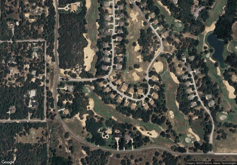
Map
Nearby Homes
- 2622 N Carnoustie Loop
- 2623 N Prestwick Way
- 2689 N Carnoustie Loop
- 2583 N Troon Path
- 2598 N Troon Path
- 2834 N Prestwick Way
- 3937 W Shadow Creek Loop
- 4200 W Breckenridge Ct
- 2888 N Osprey Ridge Point
- 3562 W Treyburn Path
- 3153 N Barton Creek Cir
- 3810 W Crystal Downs Path
- 3165 W Wentworth Loop
- 3135 N Barton Creek Cir
- 3117 N Barton Creek Cir
- 3212 N Caves Valley Path
- 3210 N Pinelake Village Point
- 4739 W Angus Dr
- 4658 W Hacienda Dr
- 3356 N Bent Tree Point
- 2615 N Carnoustie Loop
- 2621 N Carnoustie Loop
- 2607 N Carnoustie Loop
- 2612 N Prestwick Way
- 2624 N Prestwick Way
- 2637 N Carnoustie Loop
- 2668 N Carnoustie Loop
- 2645 N Carnoustie Loop
- 2635 N Prestwick Way
- 2638 N Prestwick Way
- 2651 N Prestwick Way
- 2659 N Carnoustie Loop
- 2681 N Carnoustie Loop
- 2704 N Carnoustie Loop
- 2652 N Prestwick Way
- 2675 N Carnoustie Loop
- 2671 N Carnoustie Loop
- 2665 N Prestwick Way
- 3715 W Shadow Creek Loop