262 1/2 Dover Point Rd Dover, NH 03820
Dover Point NeighborhoodEstimated Value: $1,876,797 - $2,672,000
4
Beds
5
Baths
6,436
Sq Ft
$341/Sq Ft
Est. Value
About This Home
This home is located at 262 1/2 Dover Point Rd, Dover, NH 03820 and is currently estimated at $2,195,599, approximately $341 per square foot. 262 1/2 Dover Point Rd is a home located in Strafford County with nearby schools including Garrison School, Dover Middle School, and Dover Senior High School.
Ownership History
Date
Name
Owned For
Owner Type
Purchase Details
Closed on
May 27, 2010
Sold by
Madeline B Franchi Ret
Bought by
Wills Jeffrey P and Wills Karen L
Current Estimated Value
Create a Home Valuation Report for This Property
The Home Valuation Report is an in-depth analysis detailing your home's value as well as a comparison with similar homes in the area
Home Values in the Area
Average Home Value in this Area
Purchase History
| Date | Buyer | Sale Price | Title Company |
|---|---|---|---|
| Wills Jeffrey P | $1,275,000 | -- |
Source: Public Records
Mortgage History
| Date | Status | Borrower | Loan Amount |
|---|---|---|---|
| Previous Owner | Wills Jeffrey P | $305,000 | |
| Previous Owner | Wills Jeffrey P | $305,100 |
Source: Public Records
Tax History
| Year | Tax Paid | Tax Assessment Tax Assessment Total Assessment is a certain percentage of the fair market value that is determined by local assessors to be the total taxable value of land and additions on the property. | Land | Improvement |
|---|---|---|---|---|
| 2024 | $30,909 | $1,701,100 | $541,300 | $1,159,800 |
| 2023 | $27,741 | $1,483,500 | $453,300 | $1,030,200 |
| 2022 | $27,070 | $1,364,400 | $433,500 | $930,900 |
| 2021 | $26,535 | $1,222,800 | $373,200 | $849,600 |
| 2020 | $25,732 | $1,035,500 | $335,700 | $699,800 |
| 2019 | $27,845 | $1,105,400 | $327,500 | $777,900 |
| 2018 | $27,444 | $1,101,300 | $312,000 | $789,300 |
| 2017 | $27,213 | $1,051,900 | $285,600 | $766,300 |
| 2016 | $25,496 | $969,800 | $285,000 | $684,800 |
| 2015 | $25,351 | $952,700 | $284,900 | $667,800 |
| 2014 | $24,488 | $941,500 | $284,900 | $656,600 |
| 2011 | -- | $912,100 | $256,100 | $656,000 |
Source: Public Records
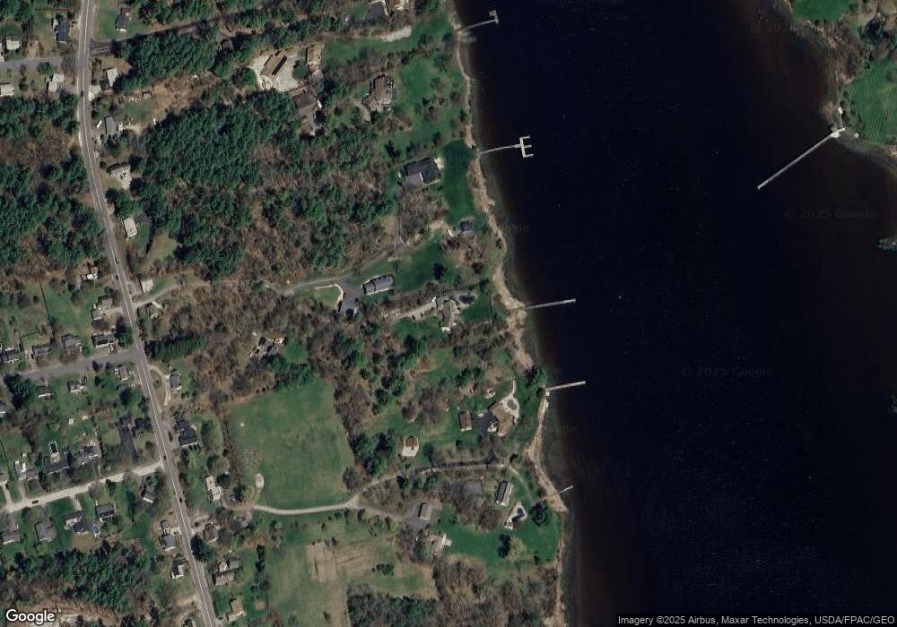
Map
Nearby Homes
- Slip B18 Little Bay
- 18 Deborah Ln
- 41 Clearwater Dr
- 0 Cote Dr Unit 55B
- 708 River Rd Unit 2
- 708 River Rd Unit 3
- 348 Dover Point Rd
- 354 Dover Point Rd
- 25 Fosters Dr
- 18 Little Bay Dr
- 18 Governor Hill Rd
- 1708 State Rd
- 71 Shipwright Way
- Lot 2 Cedar Tbd
- 10 Pasture Hill Dr
- 69 Polly Ann Trailer Park
- 10 Shipwright Way
- 16 Polly Ann Park
- 3 Greenfield Dr Unit C
- 19 Lenox Dr Unit A
- 262A Dover Point Rd
- 280 Dover Point Rd
- 262B Dover Point Rd
- 280A Dover Point Rd
- 280 Dover Point Rd
- 5 Forsythia Dr
- 272 Dover Point Rd
- 272 Dover Point Rd
- 278 Dover Point Rd
- 264 Dover Point Rd
- 262 Dover Point Rd
- 254 Dover Point Rd
- 282 Dover Point Rd
- 271 Dover Point Rd
- 260 Dover Point Rd
- Lot 12 Shore Ln
- 284 Dover Point Rd
- 262C Dover Point Rd
- 1 Belanger Dr
- 275 Dover Point Rd
Your Personal Tour Guide
Ask me questions while you tour the home.