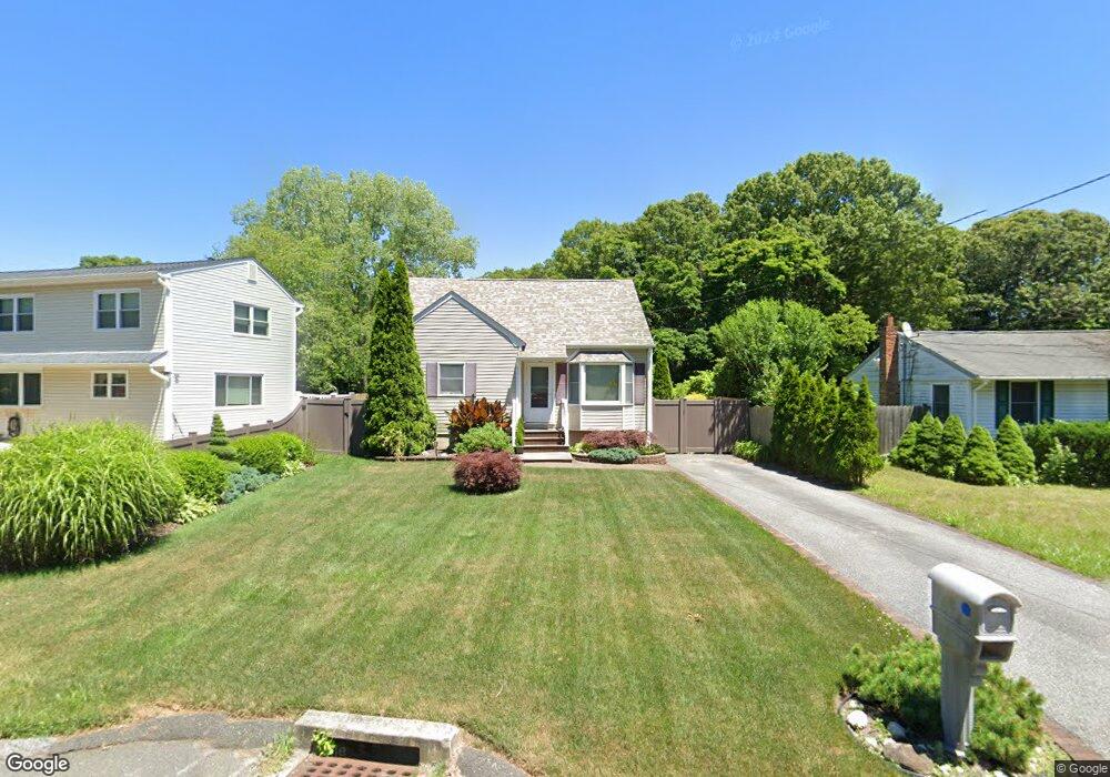
262 Auborn Ave Shirley, NY 11967
Estimated Value: $377,000 - $488,000
2
Beds
1
Bath
918
Sq Ft
$484/Sq Ft
Est. Value
About This Home
This home is located at 262 Auborn Ave, Shirley, NY 11967 and is currently estimated at $444,047, approximately $483 per square foot. 262 Auborn Ave is a home located in Suffolk County with nearby schools including Longwood Junior High School, Longwood Middle School, and Longwood Senior High School.
Ownership History
Date
Name
Owned For
Owner Type
Purchase Details
Closed on
Aug 28, 2002
Sold by
Scarola William and Scarola Lucy
Bought by
Sweeney Paul and Callagy Elizabeth
Current Estimated Value
Home Financials for this Owner
Home Financials are based on the most recent Mortgage that was taken out on this home.
Original Mortgage
$156,600
Outstanding Balance
$65,417
Interest Rate
6.24%
Mortgage Type
FHA
Estimated Equity
$378,630
Create a Home Valuation Report for This Property
The Home Valuation Report is an in-depth analysis detailing your home's value as well as a comparison with similar homes in the area
Home Values in the Area
Average Home Value in this Area
Purchase History
| Date | Buyer | Sale Price | Title Company |
|---|---|---|---|
| Sweeney Paul | $138,500 | Liberty Title Agency Llc |
Source: Public Records
Mortgage History
| Date | Status | Borrower | Loan Amount |
|---|---|---|---|
| Open | Sweeney Paul | $156,600 |
Source: Public Records
Tax History Compared to Growth
Tax History
| Year | Tax Paid | Tax Assessment Tax Assessment Total Assessment is a certain percentage of the fair market value that is determined by local assessors to be the total taxable value of land and additions on the property. | Land | Improvement |
|---|---|---|---|---|
| 2024 | $7,155 | $1,800 | $100 | $1,700 |
| 2023 | $7,155 | $1,800 | $100 | $1,700 |
| 2022 | $6,395 | $1,800 | $100 | $1,700 |
| 2021 | $6,395 | $1,800 | $100 | $1,700 |
| 2020 | $6,568 | $1,800 | $100 | $1,700 |
| 2019 | $6,568 | $0 | $0 | $0 |
| 2018 | $6,222 | $1,800 | $100 | $1,700 |
| 2017 | $6,222 | $1,800 | $100 | $1,700 |
| 2016 | $6,149 | $1,800 | $100 | $1,700 |
| 2015 | -- | $1,800 | $100 | $1,700 |
| 2014 | -- | $1,800 | $100 | $1,700 |
Source: Public Records
Map
Nearby Homes
- 188 W End Ave
- 173 W End Ave
- 84 Ridgewood Dr
- 88 Ridgewood Dr
- 1276 William Floyd Pkwy
- 313 Decatur Ave
- 336 Auborn Ave
- 88 W End Ave
- 153 Auborn Ave
- 283 W End Ave
- 1330 William Floyd Pkwy
- 334 Carnation Dr
- 135 Forrest Ave
- 124 River Rd
- 112 Revilo Ave Unit 10
- 120 River Rd
- 68 Crestwood Dr
- 99 Forrest Ave
- 101 Crestwood Dr
- 380 Wellwood Dr
- 260 Auborn Ave
- 264 Auborn Ave
- 256 Auborn Ave Unit 12
- 261 Auborn Ave
- 265 Auborn Ave
- 270 Auborn Ave
- 254 Auborn Ave
- 277 Auborn Ave
- 259 Auborn Ave
- 255 Auborn Ave
- 273 Auborn Ave
- 250 Auborn Ave
- 274 Auborn Ave
- 275 Auborn Ave
- 249 Revilo Ave
- 263 Revilo Ave
- 259 Revilo Ave
- 261 Revilo Ave
- 248 Auborn Ave
- 251 Auborn Ave