262 Bunker Ln Hartland, ME 04943
Estimated Value: $290,000
--
Bed
--
Bath
--
Sq Ft
0.41
Acres
About This Home
This home is located at 262 Bunker Ln, Hartland, ME 04943 and is currently estimated at $290,000. 262 Bunker Ln is a home with nearby schools including Hartland Consolidated School, Somerset Elementary School, and Nokomis Regional Middle School/High School.
Ownership History
Date
Name
Owned For
Owner Type
Purchase Details
Closed on
Jun 18, 2020
Sold by
Norton Ft and Norton
Bought by
Leblanc Jonathan and Veilleux Emily L
Current Estimated Value
Home Financials for this Owner
Home Financials are based on the most recent Mortgage that was taken out on this home.
Original Mortgage
$160,200
Outstanding Balance
$142,005
Interest Rate
3.2%
Mortgage Type
New Conventional
Estimated Equity
$147,995
Purchase Details
Closed on
Jul 11, 2011
Sold by
Norton R P R and Norton Nancy J
Bought by
Norton Ft and Norton
Create a Home Valuation Report for This Property
The Home Valuation Report is an in-depth analysis detailing your home's value as well as a comparison with similar homes in the area
Home Values in the Area
Average Home Value in this Area
Purchase History
| Date | Buyer | Sale Price | Title Company |
|---|---|---|---|
| Leblanc Jonathan | -- | None Available | |
| Leblanc Jonathan | -- | None Available | |
| Norton Ft | -- | -- | |
| Norton Ft | -- | -- |
Source: Public Records
Mortgage History
| Date | Status | Borrower | Loan Amount |
|---|---|---|---|
| Open | Leblanc Jonathan | $160,200 | |
| Closed | Leblanc Jonathan | $160,200 |
Source: Public Records
Tax History Compared to Growth
Tax History
| Year | Tax Paid | Tax Assessment Tax Assessment Total Assessment is a certain percentage of the fair market value that is determined by local assessors to be the total taxable value of land and additions on the property. | Land | Improvement |
|---|---|---|---|---|
| 2024 | $2,221 | $143,300 | $106,140 | $37,160 |
| 2023 | $2,162 | $122,480 | $90,720 | $31,760 |
| 2022 | $2,275 | $109,360 | $81,000 | $28,360 |
| 2021 | $2,384 | $109,360 | $81,000 | $28,360 |
| 2020 | $2,428 | $109,360 | $81,000 | $28,360 |
| 2019 | $2,472 | $109,360 | $81,000 | $28,360 |
| 2018 | $2,472 | $109,360 | $81,000 | $28,360 |
| 2017 | $2,472 | $109,360 | $81,000 | $28,360 |
| 2016 | $2,023 | $109,360 | $81,000 | $28,360 |
| 2015 | $2,078 | $109,360 | $81,000 | $28,360 |
| 2014 | $2,023 | $109,360 | $81,000 | $28,360 |
Source: Public Records
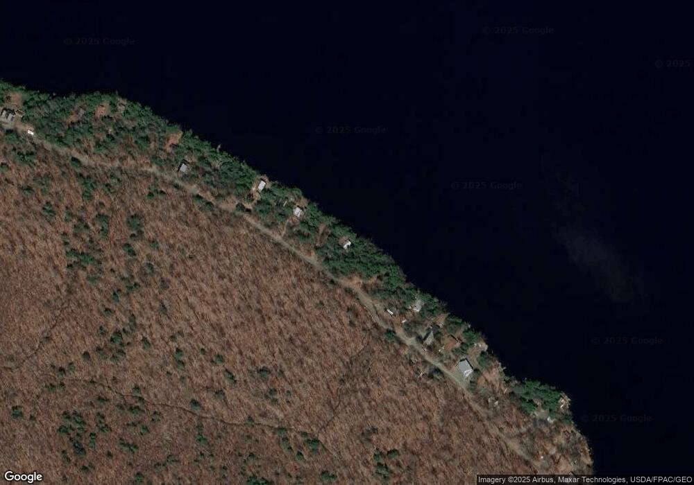
Map
Nearby Homes
- 113 Bunker Ln
- Lot 22-03 Vigue Rd
- 47 Gray Rd
- 51 Daggett Hill Rd
- PO M23-L6 Great Moose Dr
- TBD Chipmunk Ln
- P/OM1L24 Taylor Rd
- Map1Lot25 Taylor Rd
- 32 Lake Como Dr
- 69 Ward Rd
- 108 South Rd
- 000 Huff Hill Rd E
- PL5,6,9,10 Great Moose Dr
- 118 Athens Rd
- 92 Athens Rd
- 248 Fox Hill Rd
- 14 High St
- 39 Main St
- 510 Canaan Rd
- 131 Thurston Rd