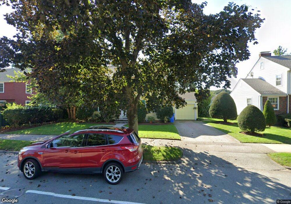
262 Grove St Belmont, MA 02478
Cushing Square NeighborhoodEstimated Value: $1,314,777 - $1,497,000
4
Beds
2
Baths
1,803
Sq Ft
$768/Sq Ft
Est. Value
About This Home
This home is located at 262 Grove St, Belmont, MA 02478 and is currently estimated at $1,384,194, approximately $767 per square foot. 262 Grove St is a home located in Middlesex County with nearby schools including Mary Lee Burbank Elementary School, Winthrop L Chenery Middle School, and Belmont High School.
Ownership History
Date
Name
Owned For
Owner Type
Purchase Details
Closed on
Aug 15, 2024
Sold by
Kostich George N and Kostich Mirjana G
Bought by
Kostich Ret and Kostich
Current Estimated Value
Purchase Details
Closed on
Sep 19, 1978
Bought by
Kostich George N and Kostich Mirjana
Create a Home Valuation Report for This Property
The Home Valuation Report is an in-depth analysis detailing your home's value as well as a comparison with similar homes in the area
Home Values in the Area
Average Home Value in this Area
Purchase History
| Date | Buyer | Sale Price | Title Company |
|---|---|---|---|
| Kostich Ret | -- | None Available | |
| Kostich Ret | -- | None Available | |
| Kostich George N | $75,000 | -- |
Source: Public Records
Mortgage History
| Date | Status | Borrower | Loan Amount |
|---|---|---|---|
| Previous Owner | Kostich George N | $65,000 | |
| Previous Owner | Kostich George N | $200,000 |
Source: Public Records
Tax History
| Year | Tax Paid | Tax Assessment Tax Assessment Total Assessment is a certain percentage of the fair market value that is determined by local assessors to be the total taxable value of land and additions on the property. | Land | Improvement |
|---|---|---|---|---|
| 2025 | $12,643 | $1,110,000 | $668,000 | $442,000 |
| 2024 | $12,461 | $1,180,000 | $833,000 | $347,000 |
| 2023 | $11,128 | $990,000 | $727,000 | $263,000 |
| 2022 | $10,739 | $929,000 | $683,000 | $246,000 |
| 2021 | $2,758 | $825,000 | $712,000 | $113,000 |
| 2020 | $8,910 | $810,000 | $697,000 | $113,000 |
| 2019 | $2,492 | $793,000 | $549,000 | $244,000 |
| 2018 | $2,396 | $671,000 | $499,000 | $172,000 |
| 2017 | $7,995 | $630,000 | $458,000 | $172,000 |
| 2016 | $7,888 | $628,000 | $458,000 | $170,000 |
| 2015 | $7,418 | $575,000 | $381,000 | $194,000 |
Source: Public Records
Map
Nearby Homes
- 30 Stewart Terrace
- 73 Foster Rd Unit 2
- 75 Foster Rd Unit 1
- 773 Concord Ave Unit 103
- 27-29 S Normandy Ave
- 17 Smith Place
- 95 Griswold St Unit 95
- 93 Griswold St Unit 93
- 30 Unity Ave Unit 30
- 161 Cushing St
- 23 Loomis St Unit 23
- 60 Washington St
- 198 Belmont St Unit 1
- 210 Belmont St Unit 13
- 210 Belmont St Unit 2
- 147 Langdon Ave Unit 1
- 12 Carver Rd
- 11 Hillcrest Rd
- 29 Commonwealth Rd Unit 1
- 19 Keith St Unit 2
Your Personal Tour Guide
Ask me questions while you tour the home.