262 Huntsfield Dr Elverson, PA 19520
West Nantmeal NeighborhoodEstimated Value: $839,957 - $986,000
4
Beds
4
Baths
4,409
Sq Ft
$208/Sq Ft
Est. Value
About This Home
This home is located at 262 Huntsfield Dr, Elverson, PA 19520 and is currently estimated at $917,239, approximately $208 per square foot. 262 Huntsfield Dr is a home located in Chester County with nearby schools including Twin Valley Elementary Center, Twin Valley Middle School, and Twin Valley High School.
Ownership History
Date
Name
Owned For
Owner Type
Purchase Details
Closed on
Oct 7, 2004
Sold by
Rotelle Development Huntsfield Lp
Bought by
Grow Philip D and Grow Elizabeth A
Current Estimated Value
Home Financials for this Owner
Home Financials are based on the most recent Mortgage that was taken out on this home.
Original Mortgage
$424,600
Outstanding Balance
$195,781
Interest Rate
4.75%
Mortgage Type
Purchase Money Mortgage
Estimated Equity
$721,458
Create a Home Valuation Report for This Property
The Home Valuation Report is an in-depth analysis detailing your home's value as well as a comparison with similar homes in the area
Home Values in the Area
Average Home Value in this Area
Purchase History
| Date | Buyer | Sale Price | Title Company |
|---|---|---|---|
| Grow Philip D | $530,829 | -- |
Source: Public Records
Mortgage History
| Date | Status | Borrower | Loan Amount |
|---|---|---|---|
| Open | Grow Philip D | $424,600 | |
| Closed | Grow Philip D | $53,050 |
Source: Public Records
Tax History Compared to Growth
Tax History
| Year | Tax Paid | Tax Assessment Tax Assessment Total Assessment is a certain percentage of the fair market value that is determined by local assessors to be the total taxable value of land and additions on the property. | Land | Improvement |
|---|---|---|---|---|
| 2025 | $10,735 | $284,490 | $43,660 | $240,830 |
| 2024 | $10,735 | $284,490 | $43,660 | $240,830 |
| 2023 | $10,486 | $284,490 | $43,660 | $240,830 |
| 2022 | $10,369 | $284,490 | $43,660 | $240,830 |
| 2021 | $10,060 | $284,490 | $43,660 | $240,830 |
| 2020 | $10,009 | $284,490 | $43,660 | $240,830 |
| 2019 | $9,810 | $284,490 | $43,660 | $240,830 |
| 2018 | $9,810 | $284,490 | $43,660 | $240,830 |
| 2017 | $9,577 | $284,490 | $43,660 | $240,830 |
| 2016 | $7,623 | $284,490 | $43,660 | $240,830 |
| 2015 | $7,623 | $284,490 | $43,660 | $240,830 |
| 2014 | $7,623 | $284,490 | $43,660 | $240,830 |
Source: Public Records
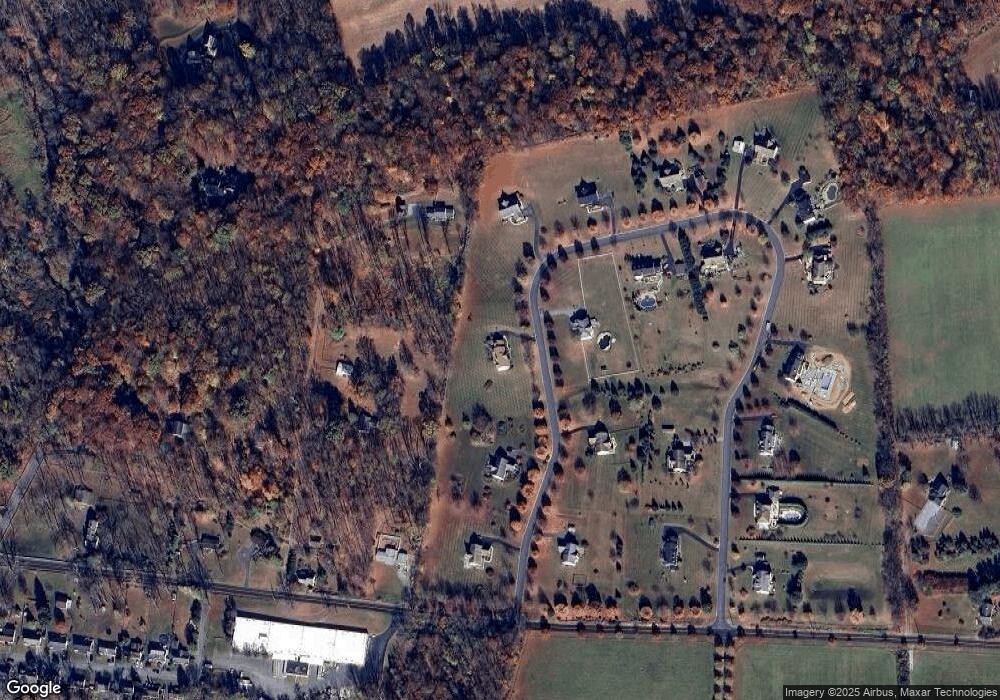
Map
Nearby Homes
- 683 N Manor Rd
- 106 New Rd
- 843 N Manor Rd
- 155 Wyebrook Rd
- 10 Woods Rd
- 85 Bollinger Rd
- 130 Pumpkin Hill Rd
- 0 Creek Rd Unit PACT2111370
- 297 Killian Rd
- 21 Chanticleer Dr
- 40 Chanticleer Dr
- 0 Templin Rd
- 319 Ironstone Ln
- 220 Fairview Rd
- 219 S Pine St
- 650 Fairview Rd
- 61 Howson Ln
- 94 New Village Greene Dr
- 111 Ash Ridge Dr
- 619 Homestead Dr
- 270 Huntsfield Dr
- 259 Huntsfield Dr
- 2863 Creek Rd
- 267 Huntsfield Dr
- 254 Huntsfield Dr
- 2871 Creek Rd
- 245 Huntsfield Dr
- 276 Huntsfield Dr
- 248 Huntsfield Dr
- 207 Huntsfield Dr
- 2841 Creek Rd
- 273 Huntsfield Dr
- 237 Huntsfield Dr
- 201 Huntsfield Dr
- 242 Huntsfield Dr
- 2855 Creek Rd
- 212 Huntsfield Dr
- 218 Huntsfield Dr
- 206 Huntsfield Dr
- 2885 Creek Rd