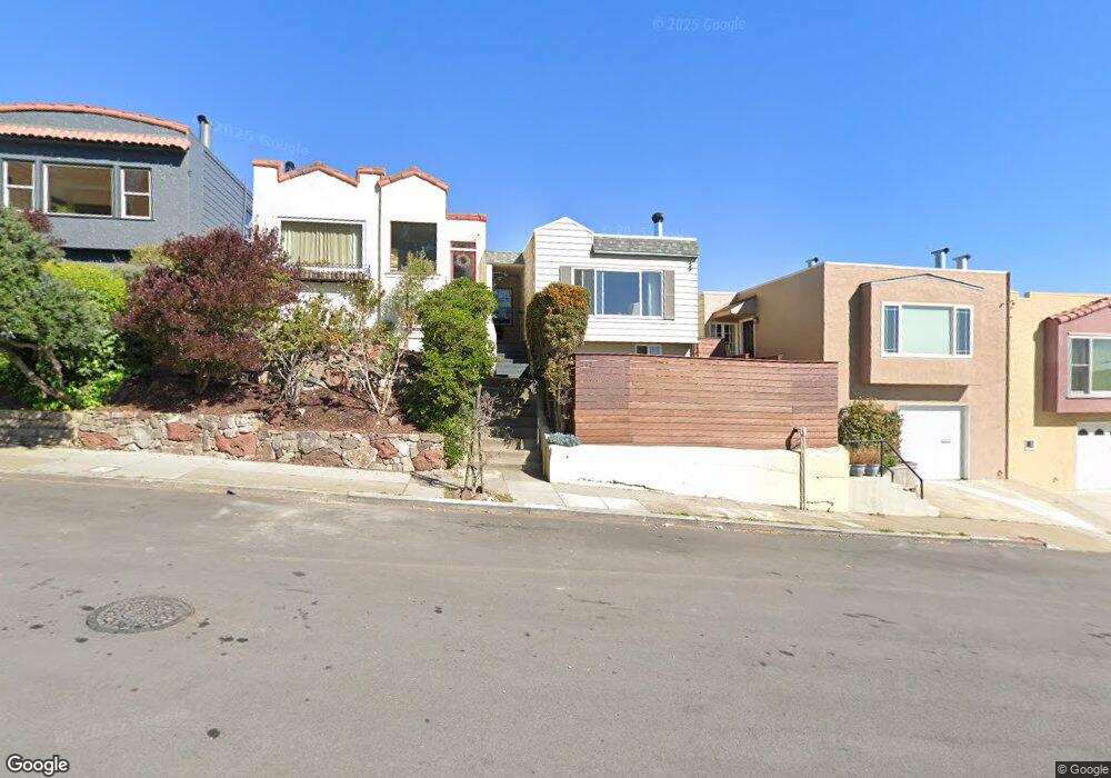
262 Judson Ave San Francisco, CA 94112
Sunnyside NeighborhoodEstimated Value: $908,000 - $1,153,813
2
Beds
1
Bath
800
Sq Ft
$1,321/Sq Ft
Est. Value
About This Home
This home is located at 262 Judson Ave, San Francisco, CA 94112 and is currently estimated at $1,056,703, approximately $1,320 per square foot. 262 Judson Ave is a home located in San Francisco County with nearby schools including Sunnyside Elementary School, Denman (James) Middle School, and Leadership High School.
Ownership History
Date
Name
Owned For
Owner Type
Purchase Details
Closed on
May 3, 1999
Sold by
Gang Liu and Connie Wong
Bought by
Mccosh Paul C and Enders James S
Current Estimated Value
Home Financials for this Owner
Home Financials are based on the most recent Mortgage that was taken out on this home.
Original Mortgage
$272,000
Outstanding Balance
$69,698
Interest Rate
6.94%
Estimated Equity
$987,005
Purchase Details
Closed on
Apr 6, 1995
Sold by
Chien Chia T
Bought by
Liu Gang and Wong Connie
Create a Home Valuation Report for This Property
The Home Valuation Report is an in-depth analysis detailing your home's value as well as a comparison with similar homes in the area
Home Values in the Area
Average Home Value in this Area
Purchase History
| Date | Buyer | Sale Price | Title Company |
|---|---|---|---|
| Mccosh Paul C | $340,000 | Chicago Title Co | |
| Liu Gang | -- | -- |
Source: Public Records
Mortgage History
| Date | Status | Borrower | Loan Amount |
|---|---|---|---|
| Open | Mccosh Paul C | $272,000 |
Source: Public Records
Tax History Compared to Growth
Tax History
| Year | Tax Paid | Tax Assessment Tax Assessment Total Assessment is a certain percentage of the fair market value that is determined by local assessors to be the total taxable value of land and additions on the property. | Land | Improvement |
|---|---|---|---|---|
| 2025 | $6,150 | $532,972 | $319,788 | $213,184 |
| 2024 | $6,150 | $522,522 | $313,518 | $209,004 |
| 2023 | $6,062 | $512,278 | $307,372 | $204,906 |
| 2022 | $5,954 | $502,262 | $301,359 | $200,903 |
| 2021 | $5,851 | $492,414 | $295,450 | $196,964 |
| 2020 | $5,868 | $487,366 | $292,421 | $194,945 |
| 2019 | $5,667 | $477,811 | $286,688 | $191,123 |
| 2018 | $6,065 | $468,443 | $281,067 | $187,376 |
| 2017 | $5,694 | $459,258 | $275,556 | $183,702 |
| 2016 | $5,579 | $450,253 | $270,153 | $180,100 |
| 2015 | $5,507 | $443,491 | $266,096 | $177,395 |
| 2014 | $5,362 | $434,805 | $260,884 | $173,921 |
Source: Public Records
Map
Nearby Homes
- 258 Flood Ave
- 201 Detroit St
- 335 Hearst Ave
- 554 Monterey Blvd
- 471 Joost Ave
- 538 Joost Ave
- 726 Joost Ave
- 574 Mangels Ave
- 815 Joost Ave
- 1849 San Jose Ave
- 841 Ocean Ave
- 47 Melrose Ave
- 222 Monterey Blvd
- 52-54 Eastwood Dr
- 54 Eastwood Dr
- 611 Miramar Ave
- 276 Seneca Ave
- 150-152 Onondaga Ave
- 271 Granada Ave
- 101 Joost Ave
- 266 Judson Ave
- 258 Judson Ave
- 270 Judson Ave
- 254 Judson Ave
- 274 Judson Ave
- 250 Judson Ave
- 263 Staples Ave
- 267 Staples Ave
- 259 Staples Ave
- 280 Judson Ave
- 246 Judson Ave
- 271 Staples Ave
- 255 Staples Ave
- 275 Staples Ave
- 251 Staples Ave
- 240 Judson Ave
- 279 Staples Ave
- 247 Staples Ave
- 238 Judson Ave
- 243 Staples Ave