262 Murphy McRae Rd Mc Rae Helena, GA 31037
Estimated Value: $161,000 - $218,000
3
Beds
2
Baths
1,344
Sq Ft
$146/Sq Ft
Est. Value
About This Home
This home is located at 262 Murphy McRae Rd, Mc Rae Helena, GA 31037 and is currently estimated at $195,860, approximately $145 per square foot. 262 Murphy McRae Rd is a home with nearby schools including Telfair County Elementary School, Telfair County Middle School, and Telfair County High School.
Ownership History
Date
Name
Owned For
Owner Type
Purchase Details
Closed on
Feb 7, 2025
Sold by
Stokes Dylan
Bought by
Stokes Devyn Michelle and Stokes Dylan Greer
Current Estimated Value
Home Financials for this Owner
Home Financials are based on the most recent Mortgage that was taken out on this home.
Original Mortgage
$109,800
Outstanding Balance
$109,055
Interest Rate
6.93%
Mortgage Type
New Conventional
Estimated Equity
$86,805
Purchase Details
Closed on
Aug 11, 2021
Sold by
Cartwright Linda M
Bought by
Stokes Dylan
Purchase Details
Closed on
May 16, 2016
Sold by
Wilkes Luther Marshall
Bought by
Cartwright Linda M
Create a Home Valuation Report for This Property
The Home Valuation Report is an in-depth analysis detailing your home's value as well as a comparison with similar homes in the area
Home Values in the Area
Average Home Value in this Area
Purchase History
| Date | Buyer | Sale Price | Title Company |
|---|---|---|---|
| Stokes Devyn Michelle | -- | -- | |
| Stokes Devyn Michelle | -- | -- | |
| Stokes Dylan | -- | -- | |
| Cartwright Linda M | -- | -- |
Source: Public Records
Mortgage History
| Date | Status | Borrower | Loan Amount |
|---|---|---|---|
| Open | Stokes Devyn Michelle | $109,800 | |
| Closed | Stokes Devyn Michelle | $109,800 |
Source: Public Records
Tax History Compared to Growth
Tax History
| Year | Tax Paid | Tax Assessment Tax Assessment Total Assessment is a certain percentage of the fair market value that is determined by local assessors to be the total taxable value of land and additions on the property. | Land | Improvement |
|---|---|---|---|---|
| 2024 | $1,312 | $46,071 | $11,424 | $34,647 |
| 2023 | $1,251 | $44,019 | $10,880 | $33,139 |
| 2022 | $1,374 | $42,702 | $10,880 | $31,822 |
| 2021 | $1,095 | $34,045 | $12,145 | $21,900 |
| 2020 | $1,048 | $32,583 | $12,145 | $20,438 |
| 2019 | $1,037 | $32,223 | $12,145 | $20,078 |
| 2018 | $1,037 | $32,223 | $12,145 | $20,078 |
| 2017 | $659 | $34,809 | $11,138 | $23,671 |
| 2016 | $659 | $34,809 | $11,138 | $23,671 |
| 2015 | -- | $34,809 | $11,138 | $23,671 |
| 2014 | -- | $35,926 | $12,491 | $23,436 |
| 2013 | -- | $35,926 | $12,490 | $23,435 |
Source: Public Records
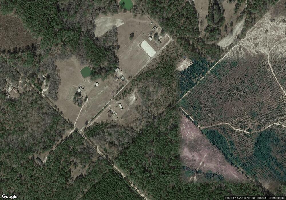
Map
Nearby Homes
- 0 Concord Dr Unit 10542376
- 0 U S 23
- 11 Stover White Dr
- 77 Muscadine Dr
- Lot 126 Pansy Ln
- 0 Center Ave
- 17 2nd St
- 427 3rd Ave
- 210 W Graham St
- 0 Ll350 & 398 7th District Unit 30490
- 0 Jackson Ave Unit 10548102
- 15 Ben Ave
- 47 S First Ave
- 78 S Second Ave
- 76 E Grant St
- 125 Fifth Ave
- 22 Spring Ave
- 141 S First Ave
- 27 E Bruce St
- 36 Strozier St
- 266 Murphy McRae Rd
- 286 Murphy McRae Rd
- 265 Murphy McRae Rd
- 295 Murphy McRae Rd
- 0 Misty Ln
- 56 N Boston Ave
- 413 Long Bridge Rd
- 55 Misty Ln
- 64 Misty Ln
- 293 Murphy McRae Rd
- 114 Whatley Farm Rd
- 105 Murphy McRae Rd
- 99 Murphy McRae Rd
- 23 Whatley Farm Rd
- 00 Harmony Ln Unit n/a
- 408 Long Bridge Rd
- 183 Whatley Farm Rd
- 105 Rr 1
- 104 Rr 1
- 76 Rr 1