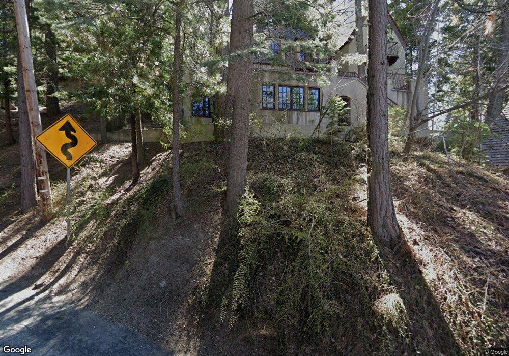
262 N Terrace Rd Lake Arrowhead, CA 92352
Estimated Value: $715,000 - $908,000
3
Beds
3
Baths
2,663
Sq Ft
$297/Sq Ft
Est. Value
About This Home
This home is located at 262 N Terrace Rd, Lake Arrowhead, CA 92352 and is currently estimated at $790,994, approximately $297 per square foot. 262 N Terrace Rd is a home with nearby schools including Lake Arrowhead Elementary School, Mary P. Henck Intermediate School, and Rim Of The World Senior High School.
Ownership History
Date
Name
Owned For
Owner Type
Purchase Details
Closed on
Sep 25, 2001
Sold by
Veysey Janet D
Bought by
Kosky Andrew A and French Donna L
Current Estimated Value
Home Financials for this Owner
Home Financials are based on the most recent Mortgage that was taken out on this home.
Original Mortgage
$212,000
Interest Rate
6.39%
Create a Home Valuation Report for This Property
The Home Valuation Report is an in-depth analysis detailing your home's value as well as a comparison with similar homes in the area
Home Values in the Area
Average Home Value in this Area
Purchase History
| Date | Buyer | Sale Price | Title Company |
|---|---|---|---|
| Kosky Andrew A | $265,000 | Fidelity National Title Ins |
Source: Public Records
Mortgage History
| Date | Status | Borrower | Loan Amount |
|---|---|---|---|
| Previous Owner | Kosky Andrew A | $212,000 |
Source: Public Records
Tax History Compared to Growth
Tax History
| Year | Tax Paid | Tax Assessment Tax Assessment Total Assessment is a certain percentage of the fair market value that is determined by local assessors to be the total taxable value of land and additions on the property. | Land | Improvement |
|---|---|---|---|---|
| 2025 | $3,840 | $336,847 | $73,865 | $262,982 |
| 2024 | $3,840 | $330,242 | $72,417 | $257,825 |
| 2023 | $3,801 | $323,767 | $70,997 | $252,770 |
| 2022 | $3,725 | $317,419 | $69,605 | $247,814 |
| 2021 | $3,683 | $311,195 | $68,240 | $242,955 |
| 2020 | $3,682 | $308,004 | $67,540 | $240,464 |
| 2019 | $3,590 | $301,965 | $66,216 | $235,749 |
| 2018 | $3,588 | $296,044 | $64,918 | $231,126 |
| 2017 | $3,526 | $290,239 | $63,645 | $226,594 |
| 2016 | $3,461 | $284,548 | $62,397 | $222,151 |
| 2015 | $3,803 | $280,274 | $61,460 | $218,814 |
| 2014 | $3,375 | $274,784 | $60,256 | $214,528 |
Source: Public Records
Map
Nearby Homes
- 282 Terrace Rd
- 197 Rocky Point Rd
- 27844 Greenway Dr
- 190 Cedar Cir
- 0 Terrace Rd Unit IG25091707
- 0 Terrace Rd Unit 32500984
- 405 Terrace Rd
- 161 Rocky Point Rd
- 27500 Highway 189 Unit 36
- 27500 Highway 189 Unit 83
- 377 Hillside Rd
- 27828 Rainbow Dr
- 177 Shorewood Dr
- 177 Shorewood Dr
- 222 Holiday Dr
- 244 Corona Cir
- 306 Dolly Varden Dr
- 226 Holiday Dr
- 27941 Rainbow Dr
- 27346 N Bay Rd
- 270 Terrace Rd
- 317 Castle Gate Rd
- 283 Burnt Mill Rd
- 293 Burnt Mill Rd
- 266 Terrace Rd
- 297 Burnt Mill Rd
- 260 Burnt Mill Rd
- 264 Burnt Mill Rd
- 270 Burnt Mill Rd
- 314 Castle Gate Rd
- 279 Burnt Mill Rd
- 320 Castle Gate Rd
- 305 Castle Gate Rd
- 0 Burnt Mill Dr and Rim of the World Dr
- 0 Burnt Mill and Rim of the World Dr
- 0 Burnt Mill Rd
- 260 Woodland Cir
- 288 Burnt Mill Rd
- 256 Burnt Mill Rd
- 244 Woodland Cir