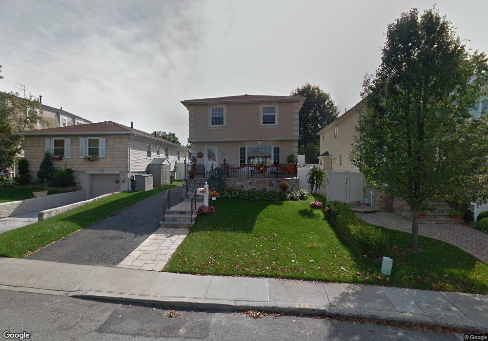
262 Ramapo Ave Staten Island, NY 10309
Woodrow NeighborhoodEstimated Value: $782,099 - $912,000
--
Bed
4
Baths
1,570
Sq Ft
$543/Sq Ft
Est. Value
About This Home
This home is located at 262 Ramapo Ave, Staten Island, NY 10309 and is currently estimated at $852,275, approximately $542 per square foot. 262 Ramapo Ave is a home located in Richmond County with nearby schools including P.S. 56 - The Louis Desario School, Is 34 Tottenville, and Tottenville High School.
Ownership History
Date
Name
Owned For
Owner Type
Purchase Details
Closed on
Nov 27, 2006
Sold by
Cuozzo Anne Marie and Casazza Anne Marie
Bought by
Cuozzo Anne Marie
Current Estimated Value
Home Financials for this Owner
Home Financials are based on the most recent Mortgage that was taken out on this home.
Original Mortgage
$200,000
Interest Rate
6.22%
Mortgage Type
New Conventional
Create a Home Valuation Report for This Property
The Home Valuation Report is an in-depth analysis detailing your home's value as well as a comparison with similar homes in the area
Home Values in the Area
Average Home Value in this Area
Purchase History
| Date | Buyer | Sale Price | Title Company |
|---|---|---|---|
| Cuozzo Anne Marie | -- | Fidelity National Title Insu |
Source: Public Records
Mortgage History
| Date | Status | Borrower | Loan Amount |
|---|---|---|---|
| Closed | Cuozzo Anne Marie | $200,000 |
Source: Public Records
Tax History Compared to Growth
Tax History
| Year | Tax Paid | Tax Assessment Tax Assessment Total Assessment is a certain percentage of the fair market value that is determined by local assessors to be the total taxable value of land and additions on the property. | Land | Improvement |
|---|---|---|---|---|
| 2025 | $8,130 | $48,540 | $11,859 | $36,681 |
| 2024 | $8,130 | $42,960 | $12,833 | $30,127 |
| 2023 | $7,756 | $38,189 | $10,247 | $27,942 |
| 2022 | $7,193 | $41,280 | $13,620 | $27,660 |
| 2021 | $7,412 | $35,220 | $13,620 | $21,600 |
| 2020 | $7,568 | $37,980 | $13,620 | $24,360 |
| 2019 | $7,056 | $36,840 | $13,620 | $23,220 |
| 2018 | $6,487 | $31,824 | $13,353 | $18,471 |
| 2017 | $6,121 | $30,025 | $13,390 | $16,635 |
| 2016 | $6,002 | $30,025 | $11,611 | $18,414 |
| 2015 | $5,395 | $29,796 | $11,151 | $18,645 |
| 2014 | $5,395 | $28,110 | $10,236 | $17,874 |
Source: Public Records
Map
Nearby Homes
- 265 Ramapo Ave
- 142 Wieland Ave
- 973 Sheldon Ave
- 108 Wieland Ave
- 1090 Sheldon Ave
- 106 Wieland Ave
- 104 Wieland Ave
- 0 Woodrow Rd
- 41 Brookside Loop
- 1054 Rensselaer Ave
- 1046 Rensselaer Ave
- 1030 Rensselaer Ave
- 75 Santa Monica Ln
- 1015 Rathbun Ave
- 1272 Woodrow Rd
- 28 Brookside Loop
- 980 Rensselaer Ave
- 24 Brookside Loop
- 960 Rensselaer Ave
- 100 Marisa Cir
- 258 Ramapo Ave
- 266 Ramapo Ave
- 254 Ramapo Ave
- 270 Ramapo Ave
- 973 Stafford Ave
- 969 Stafford Ave
- 977 Stafford Ave
- 250 Ramapo Ave
- 274 Ramapo Ave
- 965 Stafford Ave
- 981 Stafford Ave
- 961 Stafford Ave
- 985 Stafford Ave
- 246 Ramapo Ave
- 278 Ramapo Ave
- 261 Ramapo Ave
- 269 Ramapo Ave
- 257 Ramapo Ave
- 273 Ramapo Ave
- 957 Stafford Ave