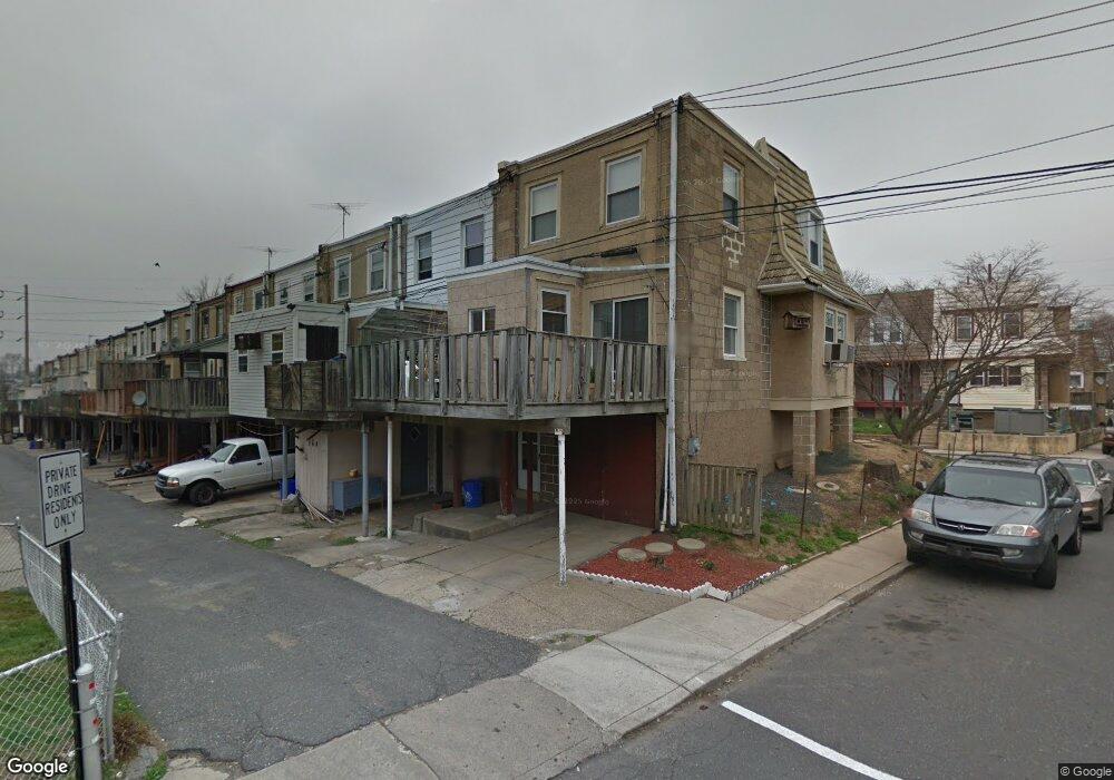
262 Sheffield Rd Lansdowne, PA 19050
Estimated Value: $134,000 - $177,000
3
Beds
1
Bath
1,097
Sq Ft
$145/Sq Ft
Est. Value
About This Home
This home is located at 262 Sheffield Rd, Lansdowne, PA 19050 and is currently estimated at $158,911, approximately $144 per square foot. 262 Sheffield Rd is a home located in Delaware County with nearby schools including Charles Kelly El School, Upper Darby High School, and Vision Academy Charter School.
Ownership History
Date
Name
Owned For
Owner Type
Purchase Details
Closed on
Aug 12, 2004
Sold by
Johnson Garvin R and Johnson Diana L
Bought by
Mcneill Ilona
Current Estimated Value
Home Financials for this Owner
Home Financials are based on the most recent Mortgage that was taken out on this home.
Original Mortgage
$66,374
Outstanding Balance
$32,980
Interest Rate
6.03%
Mortgage Type
FHA
Estimated Equity
$125,931
Create a Home Valuation Report for This Property
The Home Valuation Report is an in-depth analysis detailing your home's value as well as a comparison with similar homes in the area
Home Values in the Area
Average Home Value in this Area
Purchase History
| Date | Buyer | Sale Price | Title Company |
|---|---|---|---|
| Mcneill Ilona | $66,900 | Commonwealth Title |
Source: Public Records
Mortgage History
| Date | Status | Borrower | Loan Amount |
|---|---|---|---|
| Open | Mcneill Ilona | $66,374 |
Source: Public Records
Tax History Compared to Growth
Tax History
| Year | Tax Paid | Tax Assessment Tax Assessment Total Assessment is a certain percentage of the fair market value that is determined by local assessors to be the total taxable value of land and additions on the property. | Land | Improvement |
|---|---|---|---|---|
| 2025 | $2,769 | $65,480 | $13,860 | $51,620 |
| 2024 | $2,769 | $65,480 | $13,860 | $51,620 |
| 2023 | $2,743 | $65,480 | $13,860 | $51,620 |
| 2022 | $2,669 | $65,480 | $13,860 | $51,620 |
| 2021 | $3,599 | $65,480 | $13,860 | $51,620 |
| 2020 | $2,801 | $43,300 | $12,600 | $30,700 |
| 2019 | $2,752 | $43,300 | $12,600 | $30,700 |
| 2018 | $2,720 | $43,300 | $0 | $0 |
| 2017 | $2,649 | $43,300 | $0 | $0 |
| 2016 | $238 | $43,300 | $0 | $0 |
| 2015 | $242 | $43,300 | $0 | $0 |
| 2014 | $238 | $43,300 | $0 | $0 |
Source: Public Records
Map
Nearby Homes
- 291 N Wycombe Ave
- 243 Coverly Rd
- 239 N Maple Ave
- 143 Springton Rd
- 149 Springton Rd
- 142 Springton Rd
- 127 Sherbrook Blvd
- 7247 Guilford Rd
- 7265 Calvin Rd
- 339 Huntley Rd
- 404 Croyden Rd
- 164 Woodland Ave
- 178 N Union Ave
- 317 E Essex Ave
- 319 E Essex Ave
- 315 E Essex Ave
- 88 E Essex Ave
- 346 Long Ln
- 7229 Clinton Rd
- 432 Grace Rd
- 264 Sheffield Rd
- 266 Sheffield Rd
- 268 Sheffield Rd
- 277 N Wycombe Ave
- 270 Sheffield Rd
- 279 N Wycombe Ave
- 272 Sheffield Rd
- 230 Guilford Rd
- 273 N Wycombe Ave
- 214 Guilford Rd
- 281 N Wycombe Ave
- 274 Sheffield Rd
- 263 Sheffield Rd
- 242 Guilford Rd
- 283 N Wycombe Ave
- 265 Sheffield Rd
- 267 Sheffield Rd
- 269 Sheffield Rd
- 294 Sheffield Rd
- 292 Sheffield Rd