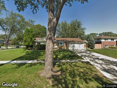
262 W Walnut Ave Des Plaines, IL 60016
Estimated Value: $403,556 - $424,000
3
Beds
1
Bath
1,323
Sq Ft
$314/Sq Ft
Est. Value
About This Home
This home is located at 262 W Walnut Ave, Des Plaines, IL 60016 and is currently estimated at $415,639, approximately $314 per square foot. 262 W Walnut Ave is a home located in Cook County with nearby schools including Devonshire Elementary School, Friendship Jr High School, and Elk Grove High School.
Ownership History
Date
Name
Owned For
Owner Type
Purchase Details
Closed on
Mar 6, 2024
Sold by
Kallio Jukka P and Kallio Jane C
Bought by
Jukka P Kallio Living Trust and Jane C Kallio Living Trust
Current Estimated Value
Purchase Details
Closed on
Apr 30, 1998
Sold by
Arnieri Luigi and Arnieri Cristina
Bought by
Kallio Jukka P and Kallio Jane C
Home Financials for this Owner
Home Financials are based on the most recent Mortgage that was taken out on this home.
Original Mortgage
$100,000
Interest Rate
7.19%
Create a Home Valuation Report for This Property
The Home Valuation Report is an in-depth analysis detailing your home's value as well as a comparison with similar homes in the area
Home Values in the Area
Average Home Value in this Area
Purchase History
| Date | Buyer | Sale Price | Title Company |
|---|---|---|---|
| Jukka P Kallio Living Trust | -- | None Listed On Document | |
| Kallio Jukka P | $180,000 | Professional National Title |
Source: Public Records
Mortgage History
| Date | Status | Borrower | Loan Amount |
|---|---|---|---|
| Previous Owner | Kallio Jukka P | $145,000 | |
| Previous Owner | Kallio Jukka | $150,000 | |
| Previous Owner | Kallio Jukka P | $87,700 | |
| Previous Owner | Kallio Jukka P | $92,100 | |
| Previous Owner | Kallio Jukka P | $100,000 |
Source: Public Records
Tax History Compared to Growth
Tax History
| Year | Tax Paid | Tax Assessment Tax Assessment Total Assessment is a certain percentage of the fair market value that is determined by local assessors to be the total taxable value of land and additions on the property. | Land | Improvement |
|---|---|---|---|---|
| 2024 | $6,923 | $32,000 | $8,041 | $23,959 |
| 2023 | $6,923 | $32,000 | $8,041 | $23,959 |
| 2022 | $6,923 | $32,000 | $8,041 | $23,959 |
| 2021 | $5,391 | $22,734 | $5,360 | $17,374 |
| 2020 | $5,335 | $22,734 | $5,360 | $17,374 |
| 2019 | $6,298 | $28,905 | $5,360 | $23,545 |
| 2018 | $4,856 | $20,810 | $4,467 | $16,343 |
| 2017 | $4,784 | $20,810 | $4,467 | $16,343 |
| 2016 | $5,181 | $22,570 | $4,467 | $18,103 |
| 2015 | $4,922 | $20,486 | $4,020 | $16,466 |
| 2014 | $4,882 | $20,486 | $4,020 | $16,466 |
| 2013 | $4,762 | $20,486 | $4,020 | $16,466 |
Source: Public Records
Map
Nearby Homes
- 1048 Marshall Dr
- 229 Leahy Cir S
- 410 Dorothy Dr
- 567 W Dempster St
- 884 Arnold Ct
- 901 S Westgate Rd
- 240 Springfield Terrace
- 857 Beau Dr Unit 9
- 940 Beau Dr Unit 111
- 920 Beau Dr Unit 108
- 1224 S Mount Prospect Rd
- 161 E Thacker St
- 1272 Andrea Ln
- 255 Dover Dr
- 1520 Pennsylvania Ave
- 165 Dover Dr Unit 3
- 220 E Washington St
- 200 Marshall Dr
- 756 W Lincoln Ln
- 745 Dulles Rd Unit C
- 262 W Walnut Ave
- 935 Clark Ln
- 250 W Walnut Ave
- 963 Clark Ln
- 936 Clark Ln
- 950 Horne Terrace
- 923 Clark Ln
- 255 W Walnut Ave
- 932 Horne Terrace
- 926 Clark Ln
- 243 W Walnut Ave
- 293 W Walnut Ave
- 911 Clark Ln
- 295 Munroe Cir
- 296 W Walnut Ave
- 920 Horne Terrace
- 231 W Walnut Ave
- 977 Clark Ln
- 270 Kinkaid Ct
- 970 Clark Ln