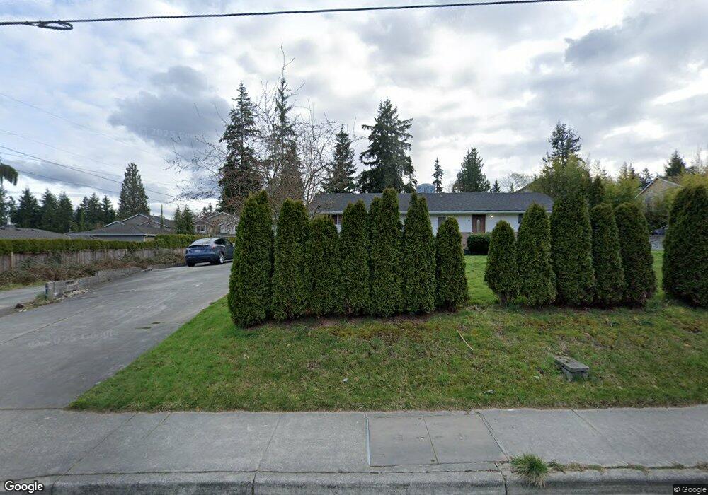
2620 132nd St SE Unit B Mill Creek, WA 98012
Estimated Value: $922,899 - $1,090,000
--
Bed
2
Baths
2,425
Sq Ft
$405/Sq Ft
Est. Value
About This Home
This home is located at 2620 132nd St SE Unit B, Mill Creek, WA 98012 and is currently estimated at $983,225, approximately $405 per square foot. 2620 132nd St SE Unit B is a home located in Snohomish County with nearby schools including Mill Creek Elementary School, Heatherwood Middle School, and Henry M. Jackson High School.
Ownership History
Date
Name
Owned For
Owner Type
Purchase Details
Closed on
Sep 8, 2002
Sold by
Coons Jeannette M and Estate Of Robert L Coons
Bought by
Yen Pauline P and Yen Howard H
Current Estimated Value
Home Financials for this Owner
Home Financials are based on the most recent Mortgage that was taken out on this home.
Original Mortgage
$159,000
Interest Rate
6.37%
Create a Home Valuation Report for This Property
The Home Valuation Report is an in-depth analysis detailing your home's value as well as a comparison with similar homes in the area
Home Values in the Area
Average Home Value in this Area
Purchase History
| Date | Buyer | Sale Price | Title Company |
|---|---|---|---|
| Yen Pauline P | $265,000 | Chicago Title Insurance Co |
Source: Public Records
Mortgage History
| Date | Status | Borrower | Loan Amount |
|---|---|---|---|
| Closed | Yen Pauline P | $159,000 |
Source: Public Records
Tax History Compared to Growth
Tax History
| Year | Tax Paid | Tax Assessment Tax Assessment Total Assessment is a certain percentage of the fair market value that is determined by local assessors to be the total taxable value of land and additions on the property. | Land | Improvement |
|---|---|---|---|---|
| 2025 | $6,560 | $733,700 | $475,400 | $258,300 |
| 2024 | $6,560 | $694,800 | $455,700 | $239,100 |
| 2023 | $6,883 | $780,200 | $514,100 | $266,100 |
| 2022 | $5,910 | $627,500 | $354,100 | $273,400 |
| 2020 | $5,724 | $492,500 | $278,000 | $214,500 |
| 2019 | $5,123 | $447,300 | $255,000 | $192,300 |
| 2018 | $5,457 | $448,400 | $230,000 | $218,400 |
| 2017 | $4,833 | $395,600 | $190,000 | $205,600 |
| 2016 | $4,057 | $352,100 | $165,000 | $187,100 |
| 2015 | $3,956 | $325,600 | $148,000 | $177,600 |
| 2013 | $3,568 | $266,700 | $105,000 | $161,700 |
Source: Public Records
Map
Nearby Homes
- 2616 132nd St SE
- 2704 130th St SE
- 2410 134th Place SE
- 2406 134th Place SE
- 13004 25th Ave SE
- 2408 136th St SE
- Plan 3155 at Silver Lake's Ambleside
- Plan 2761 at Silver Lake's Ambleside
- Plan 2746 at Silver Lake's Ambleside
- Plan 2570 at Silver Lake's Ambleside
- Plan 2330 at Silver Lake's Ambleside
- Plan 2198 at Silver Lake's Ambleside
- Plan 2070 at Silver Lake's Ambleside
- 2431 137th Place SE
- 2929 Silver Crest Dr
- 13709 30th Dr SE
- 14103 26th Ct SE
- 14212 28th Dr SE
- 2314 140th Place SE
- 14024 32nd Dr SE
- 2620 132nd St SE
- 2630 132nd St SE
- 2630 132nd St SE
- 2630 132nd St SE Unit A
- 2630 132nd St SE Unit B
- 2618 132nd St SE
- 2530 132nd Place SE
- 2532 132nd Place SE
- 2611 133rd Place SE
- 2619 133rd Place SE
- 2605 133rd Place SE
- 2632 132nd St SE
- 2632 132nd St SE Unit B
- 2632 132nd St SE Unit A
- 2531 132nd Place SE
- 2528 132nd Place SE
- 2628 132nd St SE
- 2529 132nd Place SE
- 2531 133rd Place SE
- 2627 133rd Place SE