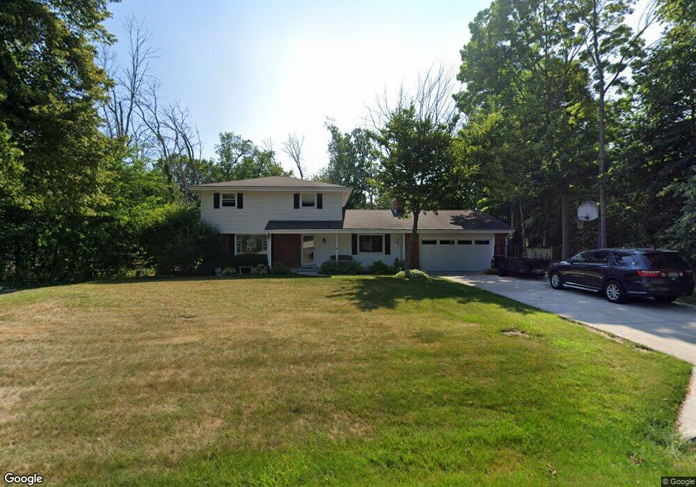
2620 Harmony Cir Brookfield, WI 53045
Brookfield Town NeighborhoodEstimated Value: $463,000 - $529,000
--
Bed
--
Bath
--
Sq Ft
0.48
Acres
About This Home
This home is located at 2620 Harmony Cir, Brookfield, WI 53045 and is currently estimated at $486,459. 2620 Harmony Cir is a home located in Waukesha County with nearby schools including Brookfield Elementary School, Wisconsin Hills Middle School, and Brookfield Central High School.
Ownership History
Date
Name
Owned For
Owner Type
Purchase Details
Closed on
Jul 31, 2000
Sold by
Mirenda Anthony and Mirenda Bernadine M
Bought by
Jiang Haochuan and Ge Yan
Current Estimated Value
Home Financials for this Owner
Home Financials are based on the most recent Mortgage that was taken out on this home.
Original Mortgage
$131,600
Outstanding Balance
$47,616
Interest Rate
8.19%
Estimated Equity
$438,843
Purchase Details
Closed on
Mar 9, 2000
Sold by
Flemming Michael G and Flemming Teri L
Bought by
Radtke Jon P and Radtke Sandra G
Home Financials for this Owner
Home Financials are based on the most recent Mortgage that was taken out on this home.
Original Mortgage
$100,000
Interest Rate
7.5%
Create a Home Valuation Report for This Property
The Home Valuation Report is an in-depth analysis detailing your home's value as well as a comparison with similar homes in the area
Home Values in the Area
Average Home Value in this Area
Purchase History
| Date | Buyer | Sale Price | Title Company |
|---|---|---|---|
| Jiang Haochuan | $164,500 | -- | |
| Radtke Jon P | $195,100 | -- |
Source: Public Records
Mortgage History
| Date | Status | Borrower | Loan Amount |
|---|---|---|---|
| Open | Jiang Haochuan | $131,600 | |
| Previous Owner | Radtke Jon P | $100,000 |
Source: Public Records
Tax History Compared to Growth
Tax History
| Year | Tax Paid | Tax Assessment Tax Assessment Total Assessment is a certain percentage of the fair market value that is determined by local assessors to be the total taxable value of land and additions on the property. | Land | Improvement |
|---|---|---|---|---|
| 2024 | $4,233 | $396,000 | $92,600 | $303,400 |
| 2023 | $4,099 | $396,000 | $92,600 | $303,400 |
| 2022 | $4,415 | $396,000 | $92,600 | $303,400 |
| 2021 | $4,511 | $329,400 | $77,200 | $252,200 |
| 2020 | $4,738 | $329,400 | $77,200 | $252,200 |
| 2019 | $4,664 | $329,400 | $77,200 | $252,200 |
| 2018 | $4,458 | $302,100 | $73,500 | $228,600 |
| 2017 | $4,369 | $302,100 | $73,500 | $228,600 |
| 2016 | $3,893 | $268,100 | $73,500 | $194,600 |
| 2015 | $3,889 | $268,100 | $73,500 | $194,600 |
| 2014 | $4,018 | $268,100 | $73,500 | $194,600 |
| 2013 | $4,018 | $251,700 | $69,300 | $182,400 |
Source: Public Records
Map
Nearby Homes
- 21330 Hollycrest Ct
- 21300 Astolat Dr
- 2410 Talbots Ln
- 21945 Galahad Ln
- W222N2872 Timberwood Ct
- 21965 Valiant Dr
- 20780 Tennyson Dr
- 7034 Stonewood Ln
- 7038 Stonewood Ln
- 7018 Stonewood Ln
- 7022 Stonewood Ln
- 21380 Woodchuck Ln
- N31W22134 Green Rd
- 21905 W North Ave
- W223N2314 Meadowood Ln
- N19W22081 Foxview Ct Unit 2B
- W225N2549 Alderwood Ln
- W225N2516 Alderwood Ln
- Lt119 Berwick Ct
- Lt117 Berwick Ct
- 2600 Harmony Cir
- 2640 Harmony Cir
- 2625 Almesbury Ave
- 2605 Almesbury Ave
- 21665 Mayrose Blvd
- 2645 Almesbury Ave
- 2550 Harmony Cir
- 2605 Harmony Cir
- 21630 Gaywood Dr
- 21660 Mayrose Blvd
- 2665 Almesbury Ave
- 21705 Mayrose Blvd
- 2565 Almesbury Ave
- 2620 Almesbury Ave
- 2640 Almesbury Ave
- 2690 Harmony Cir
- 21700 Mayrose Blvd
- 21625 Gaywood Dr
- 2570 Gaywood Ct
- 2660 Almesbury Ave