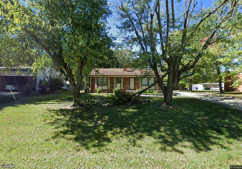
2620 Ingram Rd High Point, NC 27263
Greater High Point NeighborhoodEstimated Value: $167,000 - $216,000
2
Beds
1
Bath
1,466
Sq Ft
$127/Sq Ft
Est. Value
About This Home
This home is located at 2620 Ingram Rd, High Point, NC 27263 and is currently estimated at $186,155, approximately $126 per square foot. 2620 Ingram Rd is a home located in Guilford County with nearby schools including Allen Jay Elementary School, Southern Guilford Middle, and Southern Guilford High School.
Ownership History
Date
Name
Owned For
Owner Type
Purchase Details
Closed on
Nov 16, 2018
Sold by
Ahbum Jamie L and Ahbum Angela N
Bought by
Tufail Ali Zahid and Tufail Mehdi
Current Estimated Value
Purchase Details
Closed on
Mar 24, 2005
Sold by
Carter Ronald J and Carter James M
Bought by
Ashburn Jamie L and Ashburn Angela N
Create a Home Valuation Report for This Property
The Home Valuation Report is an in-depth analysis detailing your home's value as well as a comparison with similar homes in the area
Home Values in the Area
Average Home Value in this Area
Purchase History
| Date | Buyer | Sale Price | Title Company |
|---|---|---|---|
| Tufail Ali Zahid | $85,000 | None Available | |
| Ashburn Jamie L | $79,000 | -- |
Source: Public Records
Tax History
| Year | Tax Paid | Tax Assessment Tax Assessment Total Assessment is a certain percentage of the fair market value that is determined by local assessors to be the total taxable value of land and additions on the property. | Land | Improvement |
|---|---|---|---|---|
| 2025 | $1,355 | $98,300 | $20,000 | $78,300 |
| 2024 | $1,355 | $98,300 | $20,000 | $78,300 |
| 2023 | $1,355 | $98,300 | $20,000 | $78,300 |
| 2022 | $1,325 | $98,300 | $20,000 | $78,300 |
| 2021 | $940 | $68,200 | $17,000 | $51,200 |
| 2020 | $940 | $68,200 | $17,000 | $51,200 |
| 2019 | $940 | $59,300 | $0 | $0 |
| 2018 | $0 | $59,300 | $0 | $0 |
| 2017 | $813 | $59,300 | $0 | $0 |
| 2016 | $966 | $68,900 | $0 | $0 |
| 2015 | $971 | $68,900 | $0 | $0 |
| 2014 | $988 | $68,900 | $0 | $0 |
Source: Public Records
Map
Nearby Homes
- 1105 E Springfield Rd
- 611 Liberty Rd
- 000 Liberty Rd
- 914 Nance Ave
- 1535 E Fairfield Rd
- 717 Belmont Dr
- 706 E Fairfield Rd
- 126 Apollo Cir
- 600 E Fairfield Rd
- 921 Norton St
- 715 Baker Rd
- 1501 Cox Ct
- 1638 Kersey Valley Rd
- 510 Aldridge Rd
- 424 Aldridge Rd
- 609 Martha Place
- 607 Martha Place
- 10844 N Main St
- 10812, 10822, 10828 N Main St
- 1900-1922 Baker Rd
- 2622 Ingram Rd
- 2618 Ingram Rd
- 2624 Ingram Rd
- 2626 Ingram Rd
- 2614 Ingram Rd
- 2621 Ingram Rd
- 2619 Ingram Rd
- 2628 Ingram Rd
- 914 Garnett Dr
- 2612 Ingram Rd
- 2633 Ingram Rd
- 2617 Ingram Rd
- 2630 Ingram Rd
- 2610 Ingram Rd
- 2632 Ingram Rd
- 2635 Ingram Rd
- 2634 Ingram Rd
- 2608 Ingram Rd
- 2616 R1 Ingram Rd
- 2701 Ingram Rd
Your Personal Tour Guide
Ask me questions while you tour the home.