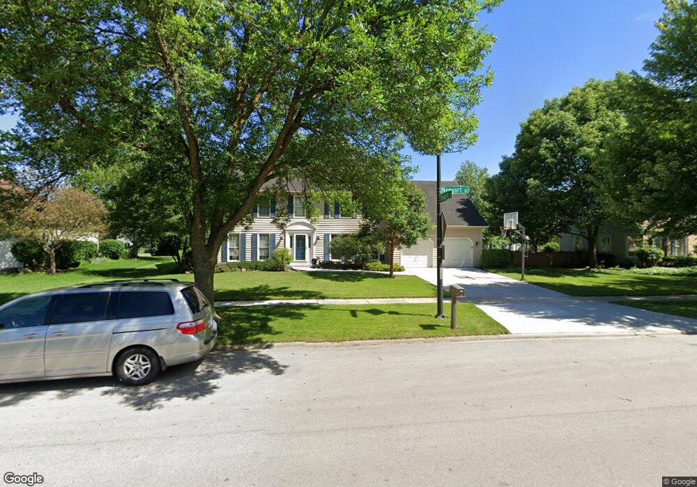
2620 Newport Dr Unit 1 Naperville, IL 60565
Knoch Knolls NeighborhoodEstimated Value: $722,511 - $812,000
4
Beds
3
Baths
3,045
Sq Ft
$251/Sq Ft
Est. Value
About This Home
This home is located at 2620 Newport Dr Unit 1, Naperville, IL 60565 and is currently estimated at $764,878, approximately $251 per square foot. 2620 Newport Dr Unit 1 is a home located in Will County with nearby schools including Spring Brook Elementary School, Ellsworth Elementary School, and Gordon Gregory Middle School.
Ownership History
Date
Name
Owned For
Owner Type
Purchase Details
Closed on
Mar 10, 2020
Sold by
Decraene Rick L and Decraene Cheryl A
Bought by
Decraene Rick Lee and Decraene Cheryl Ann
Current Estimated Value
Purchase Details
Closed on
Oct 14, 2003
Sold by
Harmon Patricia L and Patricia L Harmon Trust
Bought by
Decraene Rick L and Decraene Cheryl A
Home Financials for this Owner
Home Financials are based on the most recent Mortgage that was taken out on this home.
Original Mortgage
$257,000
Outstanding Balance
$107,812
Interest Rate
4.75%
Mortgage Type
Purchase Money Mortgage
Estimated Equity
$657,066
Purchase Details
Closed on
Nov 19, 2001
Sold by
Harmon Steven D and Harmon Patricia L
Bought by
Harmon Patricia L and The Patricia L Harmon Trust
Create a Home Valuation Report for This Property
The Home Valuation Report is an in-depth analysis detailing your home's value as well as a comparison with similar homes in the area
Home Values in the Area
Average Home Value in this Area
Purchase History
| Date | Buyer | Sale Price | Title Company |
|---|---|---|---|
| Decraene Rick Lee | -- | None Available | |
| Decraene Rick L | $397,500 | Ticor Title | |
| Harmon Patricia L | -- | -- |
Source: Public Records
Mortgage History
| Date | Status | Borrower | Loan Amount |
|---|---|---|---|
| Open | Decraene Rick L | $257,000 |
Source: Public Records
Tax History Compared to Growth
Tax History
| Year | Tax Paid | Tax Assessment Tax Assessment Total Assessment is a certain percentage of the fair market value that is determined by local assessors to be the total taxable value of land and additions on the property. | Land | Improvement |
|---|---|---|---|---|
| 2024 | $13,641 | $216,269 | $43,308 | $172,961 |
| 2023 | $13,641 | $191,050 | $38,258 | $152,792 |
| 2022 | $11,501 | $164,738 | $36,190 | $128,548 |
| 2021 | $10,991 | $156,894 | $34,467 | $122,427 |
| 2020 | $10,782 | $154,408 | $33,921 | $120,487 |
| 2019 | $10,596 | $150,056 | $32,965 | $117,091 |
| 2018 | $10,598 | $147,474 | $32,240 | $115,234 |
| 2017 | $10,435 | $143,667 | $31,408 | $112,259 |
| 2016 | $10,415 | $140,574 | $30,732 | $109,842 |
| 2015 | $10,066 | $135,167 | $29,550 | $105,617 |
| 2014 | $10,066 | $128,375 | $29,550 | $98,825 |
| 2013 | $10,066 | $128,375 | $29,550 | $98,825 |
Source: Public Records
Map
Nearby Homes
- 2509 Brockton Cir
- 2734 Alyssa Dr
- 567 Roxbury Dr
- 2206 Gleneagles Dr
- 445 Travelaire Ave
- 2471 Kingsley Dr
- 2167 Countryside Cir
- 51 Ford Ln
- 2337 Worthing Dr Unit 102A
- 1134 Gateshead Dr
- 36 Oak Bluff Ct
- 1948 Navarone Dr
- 20 Pinnacle Ct
- 44 Oak Bluff Ct
- 15 Pinnacle Ct
- 1123 Thackery Ln
- 945 Winners Cup Ct Unit 945
- 2741 Gateshead Dr
- 2132 Berkley Ct Unit 201A
- 2697 Fox River Ln
- 2616 Newport Dr
- 427 Gateshead Dr
- 2624 Newport Dr
- 423 Gateshead Dr Unit 1
- 2612 Newport Dr Unit 1
- 2649 Copperfield Ct
- 419 Gateshead Dr
- 2613 Newport Dr
- 2623 Newport Dr
- 2608 Newport Dr
- 2645 Copperfield Ct
- 2653 Copperfield Ct
- 2607 Newport Dr
- 484 Blodgett Ct
- 430 Gateshead Dr Unit 1
- 2627 Newport Dr
- 2632 Newport Dr Unit 1
- 426 Gateshead Dr
- 412 Haddassah Ct
- 483 Blodgett Ct