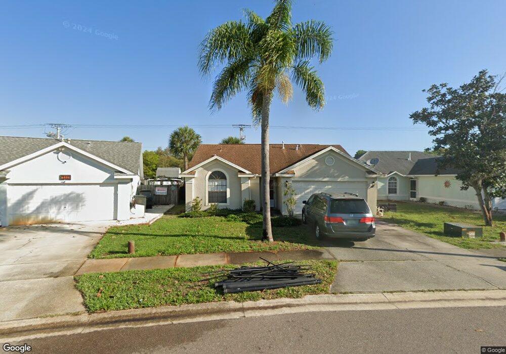
2620 Saint Pauls Dr Titusville, FL 32780
Estimated Value: $247,997 - $296,000
--
Bed
2
Baths
1,228
Sq Ft
$226/Sq Ft
Est. Value
About This Home
This home is located at 2620 Saint Pauls Dr, Titusville, FL 32780 and is currently estimated at $277,749, approximately $226 per square foot. 2620 Saint Pauls Dr is a home located in Brevard County with nearby schools including Imperial Estates Elementary School, Titusville High School, and Andrew Jackson Middle School.
Ownership History
Date
Name
Owned For
Owner Type
Purchase Details
Closed on
Jun 30, 1997
Sold by
Milholland Steven C and Milholland Cheryl
Bought by
Kharbanda Rajan K and Kharbanda Michelle D
Current Estimated Value
Home Financials for this Owner
Home Financials are based on the most recent Mortgage that was taken out on this home.
Original Mortgage
$77,769
Outstanding Balance
$11,561
Interest Rate
7.92%
Estimated Equity
$266,188
Create a Home Valuation Report for This Property
The Home Valuation Report is an in-depth analysis detailing your home's value as well as a comparison with similar homes in the area
Home Values in the Area
Average Home Value in this Area
Purchase History
| Date | Buyer | Sale Price | Title Company |
|---|---|---|---|
| Kharbanda Rajan K | $78,000 | -- |
Source: Public Records
Mortgage History
| Date | Status | Borrower | Loan Amount |
|---|---|---|---|
| Open | Kharbanda Rajan K | $77,769 |
Source: Public Records
Tax History Compared to Growth
Tax History
| Year | Tax Paid | Tax Assessment Tax Assessment Total Assessment is a certain percentage of the fair market value that is determined by local assessors to be the total taxable value of land and additions on the property. | Land | Improvement |
|---|---|---|---|---|
| 2025 | $963 | $89,020 | -- | -- |
| 2024 | $920 | $86,520 | -- | -- |
| 2023 | $920 | $84,000 | $0 | $0 |
| 2022 | $829 | $81,560 | $0 | $0 |
| 2021 | $824 | $79,190 | $0 | $0 |
| 2020 | $815 | $78,100 | $0 | $0 |
| 2019 | $810 | $76,350 | $0 | $0 |
| 2018 | $803 | $74,930 | $0 | $0 |
| 2017 | $810 | $73,390 | $0 | $0 |
| 2016 | $760 | $71,890 | $18,000 | $53,890 |
| 2015 | $787 | $71,400 | $18,000 | $53,400 |
| 2014 | $787 | $70,840 | $18,000 | $52,840 |
Source: Public Records
Map
Nearby Homes
- 2560 Saint Anthonys St
- 2280 Saint Andrews Dr
- 2795 Saint Marks Dr
- 4875 Winchester Dr
- 2370 Saint Andrews Dr
- 0 Unknown Hwy Unit 1059313
- 2475 Cheney Hwy
- 0000 Cheney Hwy
- 4980 Winchester Dr
- 2765 Notre Dame Dr
- 4850 Walton Ave
- 2950 Guinevere Dr
- 5085 Winchester Dr
- 4541 Derbyshire Dr
- 4840 Volusia Ave
- 4970 Walton Ave
- 4980 Walton Ave
- 5175 Walton Ave
- 5035 Kirkwood Trail
- 4491 Derbyshire Dr
- 2610 Saint Pauls Dr
- 2630 Saint Pauls Dr
- 2600 Saint Pauls Dr
- 2640 St Paul`s
- 2640 Saint Pauls Dr
- 2590 Saint Pauls Dr
- 2615 Saint Pauls Dr
- 2625 Saint Pauls Dr
- 2605 Saint Pauls Dr
- 2605 St Paul`s
- 2580 Saint Pauls Dr
- 2580 St Paul's
- 2660 Saint Pauls Dr
- 2595 Saint Pauls Dr
- 2585 Saint Pauls Dr
- 2620 Saint Anthonys St
- 2620 St Anthony's
- 2610 St Anthony's
- 2600 Saint Anthonys St
- 2575 Saint Pauls Dr