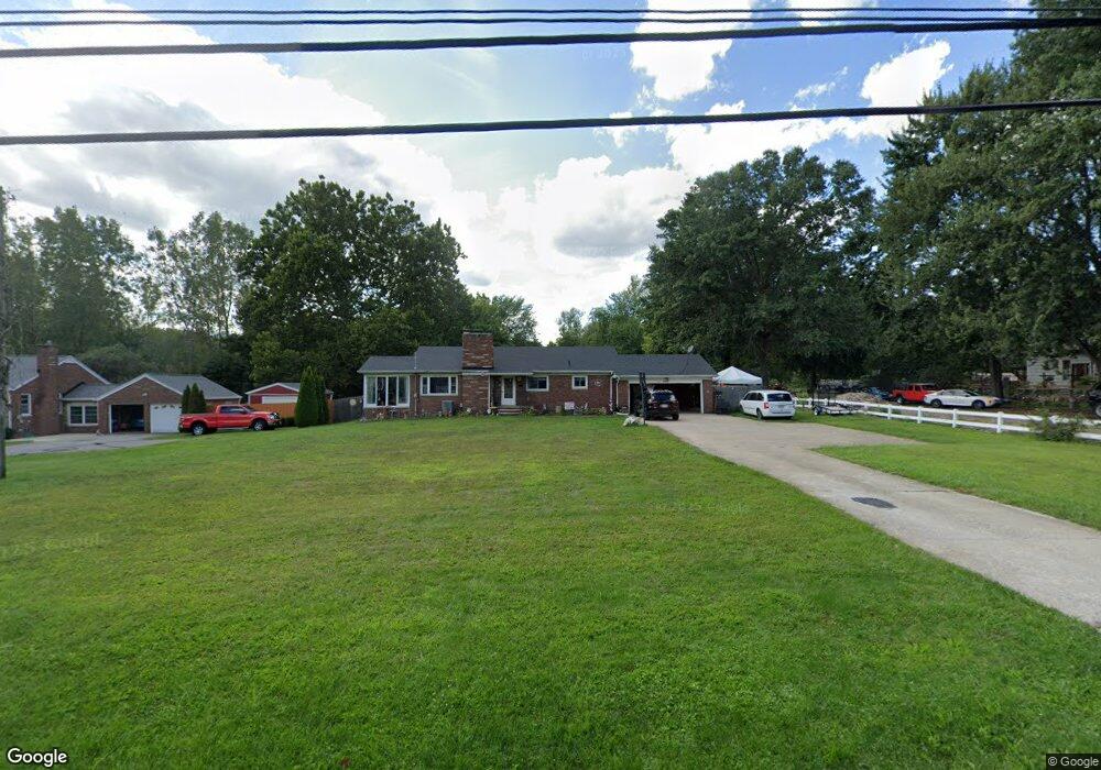
2620 W River Rd N Elyria, OH 44035
Estimated Value: $222,000 - $307,000
3
Beds
2
Baths
1,410
Sq Ft
$190/Sq Ft
Est. Value
About This Home
This home is located at 2620 W River Rd N, Elyria, OH 44035 and is currently estimated at $268,121, approximately $190 per square foot. 2620 W River Rd N is a home located in Lorain County with nearby schools including Crestwood Elementary School, Westwood Middle School, and Elyria High School.
Ownership History
Date
Name
Owned For
Owner Type
Purchase Details
Closed on
Apr 1, 2019
Sold by
Lauer David W
Bought by
Lauer David W and Lauer Dawn M
Current Estimated Value
Purchase Details
Closed on
Sep 14, 2011
Sold by
Brine Ethel R
Bought by
Lauer David W
Home Financials for this Owner
Home Financials are based on the most recent Mortgage that was taken out on this home.
Original Mortgage
$146,197
Outstanding Balance
$100,067
Interest Rate
4.25%
Mortgage Type
FHA
Estimated Equity
$168,054
Create a Home Valuation Report for This Property
The Home Valuation Report is an in-depth analysis detailing your home's value as well as a comparison with similar homes in the area
Home Values in the Area
Average Home Value in this Area
Purchase History
| Date | Buyer | Sale Price | Title Company |
|---|---|---|---|
| Lauer David W | -- | None Available | |
| Lauer David W | $150,000 | Lawyers Title Co |
Source: Public Records
Mortgage History
| Date | Status | Borrower | Loan Amount |
|---|---|---|---|
| Open | Lauer David W | $146,197 |
Source: Public Records
Tax History
| Year | Tax Paid | Tax Assessment Tax Assessment Total Assessment is a certain percentage of the fair market value that is determined by local assessors to be the total taxable value of land and additions on the property. | Land | Improvement |
|---|---|---|---|---|
| 2024 | $4,063 | $85,635 | $24,955 | $60,680 |
| 2023 | $3,158 | $57,764 | $22,442 | $35,322 |
| 2022 | $3,146 | $57,764 | $22,442 | $35,322 |
| 2021 | $3,154 | $57,764 | $22,442 | $35,322 |
| 2020 | $3,031 | $49,370 | $19,180 | $30,190 |
| 2019 | $3,012 | $49,370 | $19,180 | $30,190 |
| 2018 | $3,083 | $49,370 | $19,180 | $30,190 |
| 2017 | $3,149 | $49,420 | $17,050 | $32,370 |
| 2016 | $3,108 | $49,420 | $17,050 | $32,370 |
| 2015 | $2,911 | $49,420 | $17,050 | $32,370 |
| 2014 | $2,876 | $49,420 | $17,050 | $32,370 |
| 2013 | $2,849 | $49,420 | $17,050 | $32,370 |
Source: Public Records
Map
Nearby Homes
- 416 Deer Crossing
- V/L Rear Land Unit 1
- V/L Rear Land Unit 2
- 5193 Liberty Ave
- 5196 Farr Ave
- VL Ridgewood St
- 41629 Northwood St
- 42953 N Ridge Rd
- 4721 Andover Ave
- 114 Timberlane Dr
- 348 Robin Dr
- 4510 Riverside Dr
- 6445 Lake Ave
- 4434 Riverside Dr
- 4429 Norfolk Ave
- 4411 Tacoma Ave
- V/L Grove Ave
- 367 Crestview Dr
- 42190 Helen St
- 4223 Palm Ave
- 2614 W River Rd N
- 2632 W River Rd N
- 2629 W River Rd N
- 2621 W River Rd N
- 2613 W River Rd N
- 135 Stoney Brook Dr
- 102 Stoney Brook Dr
- 110 Stoney Brook Dr
- 143 Stoney Brook Dr
- 2700 W River Rd N
- 2635 W River Rd N
- 2605 W River Rd N
- 2704 W River Rd N
- 2701 W River Rd N
- 163 Stoney Brook Dr
- 146 Stoney Brook Dr
- 167 Stoney Brook Dr
- 150 Stoney Brook Dr
- 171 Stoney Brook Dr
- 158 Stoney Brook Dr
Your Personal Tour Guide
Ask me questions while you tour the home.