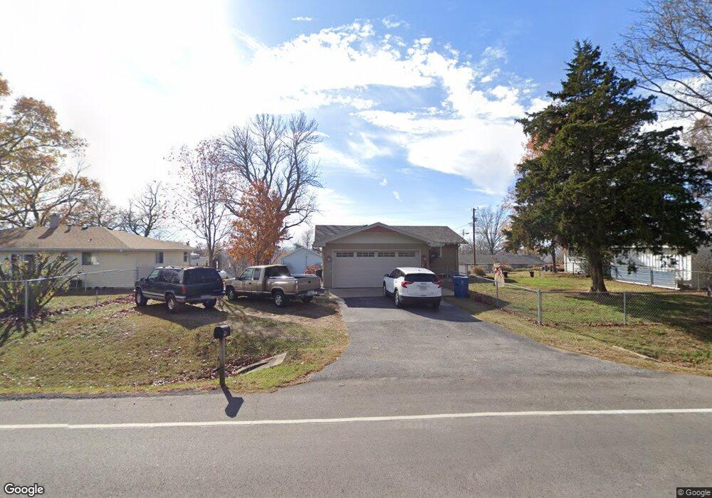
26225 State Highway Yy Shell Knob, MO 65747
Estimated Value: $241,000 - $323,000
3
Beds
2
Baths
2,300
Sq Ft
$117/Sq Ft
Est. Value
About This Home
This home is located at 26225 State Highway Yy, Shell Knob, MO 65747 and is currently estimated at $268,274, approximately $116 per square foot. 26225 State Highway Yy is a home located in Barry County with nearby schools including Shell Knob Elementary School.
Ownership History
Date
Name
Owned For
Owner Type
Purchase Details
Closed on
Nov 17, 2017
Sold by
Smith Bill L and Smith Kerry S
Bought by
Buchanan William and Buchanan Sheri
Current Estimated Value
Purchase Details
Closed on
Sep 1, 2015
Sold by
Fink Eddy Dean
Bought by
Bill L Smith Revocable Trust
Purchase Details
Closed on
Sep 14, 2009
Sold by
Lettington Harold Leland
Bought by
Lettington Harold L and Harold L Lettington Living Trust
Create a Home Valuation Report for This Property
The Home Valuation Report is an in-depth analysis detailing your home's value as well as a comparison with similar homes in the area
Home Values in the Area
Average Home Value in this Area
Purchase History
| Date | Buyer | Sale Price | Title Company |
|---|---|---|---|
| Buchanan William | -- | None Available | |
| Buchanan William | -- | None Available | |
| Bill L Smith Revocable Trust | -- | None Available | |
| Lettington Harold L | -- | None Available |
Source: Public Records
Tax History Compared to Growth
Tax History
| Year | Tax Paid | Tax Assessment Tax Assessment Total Assessment is a certain percentage of the fair market value that is determined by local assessors to be the total taxable value of land and additions on the property. | Land | Improvement |
|---|---|---|---|---|
| 2025 | $628 | $15,884 | $1,805 | $14,079 |
| 2024 | $628 | $12,939 | $1,805 | $11,134 |
| 2023 | $632 | $12,939 | $1,805 | $11,134 |
| 2022 | $617 | $12,616 | $1,482 | $11,134 |
| 2021 | $583 | $12,616 | $1,482 | $11,134 |
| 2020 | $583 | $11,495 | $1,482 | $10,013 |
| 2018 | $574 | $11,495 | $1,482 | $10,013 |
| 2017 | $503 | $11,476 | $1,482 | $9,994 |
| 2016 | $498 | $11,058 | $1,311 | $9,747 |
| 2015 | -- | $11,058 | $1,311 | $9,747 |
| 2014 | -- | $11,058 | $1,311 | $9,747 |
| 2012 | -- | $0 | $0 | $0 |
Source: Public Records
Map
Nearby Homes
- 21380 Access Rd
- .25M/L Farm Road 2210
- Lot 34
- 26386 State Highway Yy
- Lot 11 Mountain View Pkwy
- 21866 Oak Ridge Dr
- 20615 Table Rock Ridge Rd
- 21992 Knob Hill Ln
- 26032 State Highway 39
- 26094 State Highway 39
- 25208 Summer Place
- 28110 State Highway 39
- 000 Summer Place
- 25158 Autumn View Dr
- 22008 Ice House Ln
- .17M/L Farm Road 2208
- 000 Waters Edge Dr
- 000 Winter Mist Ln Unit Lot 22
- 21277 Needles Eye Rd
- 21461 Needles Eye Rd
- 26126 Cedarwood Ln
- 26123 Centerwood Ln
- 26146 Cedarwood Ln
- 21327 Access Rd
- 0 Cedarwood Ln
- 26084 Cedarwood Ln
- 26190 St Hwy Y
- 26283 State Highway Yy
- 26167 State Highway Yy
- 26190 State Highway Yy
- 26167 State Highway Yy
- 26131 Cedarwood Ln
- 26115 Cedarwood Ln
- 26161 Cedarwood Rd
- 26203 Farm Road 2210
- 26081 Centerwood Ln
- 26068 Centerwood Ln
- 26068 Centerwood Rd
- 26175 Cedarwood Ln
- 26221 Farm Road 2210