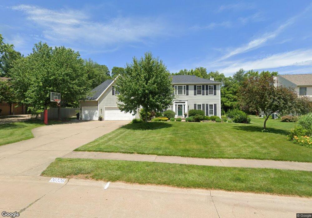
2626 Edgewild Dr Davenport, IA 52807
North Side NeighborhoodEstimated Value: $467,977 - $596,000
4
Beds
7
Baths
3,140
Sq Ft
$169/Sq Ft
Est. Value
About This Home
This home is located at 2626 Edgewild Dr, Davenport, IA 52807 and is currently estimated at $530,244, approximately $168 per square foot. 2626 Edgewild Dr is a home located in Scott County with nearby schools including Jones Park Elementary School, Eisenhower Elementary School, and Casey County Middle School.
Ownership History
Date
Name
Owned For
Owner Type
Purchase Details
Closed on
Jun 14, 2007
Sold by
Davies Todd E and Davies Donna S
Bought by
Brooke Thomas A and Brooke Jennifer A
Current Estimated Value
Home Financials for this Owner
Home Financials are based on the most recent Mortgage that was taken out on this home.
Original Mortgage
$33,200
Outstanding Balance
$20,392
Interest Rate
6.26%
Mortgage Type
Credit Line Revolving
Estimated Equity
$509,852
Create a Home Valuation Report for This Property
The Home Valuation Report is an in-depth analysis detailing your home's value as well as a comparison with similar homes in the area
Home Values in the Area
Average Home Value in this Area
Purchase History
| Date | Buyer | Sale Price | Title Company |
|---|---|---|---|
| Brooke Thomas A | $333,000 | None Available |
Source: Public Records
Mortgage History
| Date | Status | Borrower | Loan Amount |
|---|---|---|---|
| Open | Brooke Thomas A | $33,200 | |
| Open | Brooke Thomas A | $266,400 |
Source: Public Records
Tax History Compared to Growth
Tax History
| Year | Tax Paid | Tax Assessment Tax Assessment Total Assessment is a certain percentage of the fair market value that is determined by local assessors to be the total taxable value of land and additions on the property. | Land | Improvement |
|---|---|---|---|---|
| 2025 | $7,038 | $475,140 | $64,970 | $410,170 |
| 2024 | $6,864 | $404,040 | $64,970 | $339,070 |
| 2023 | $8,370 | $404,040 | $64,970 | $339,070 |
| 2022 | $8,408 | $400,760 | $59,770 | $340,990 |
| 2021 | $8,408 | $400,760 | $59,770 | $340,990 |
| 2020 | $8,060 | $379,800 | $59,770 | $320,030 |
| 2019 | $7,952 | $362,960 | $59,770 | $303,190 |
| 2018 | $7,972 | $362,960 | $59,770 | $303,190 |
| 2017 | $2,019 | $362,960 | $59,770 | $303,190 |
| 2016 | $7,580 | $346,120 | $0 | $0 |
| 2015 | $7,580 | $331,320 | $0 | $0 |
| 2014 | $7,358 | $331,320 | $0 | $0 |
| 2013 | $7,232 | $0 | $0 | $0 |
| 2012 | -- | $310,760 | $55,800 | $254,960 |
Source: Public Records
Map
Nearby Homes
- 4230 Jersey Ridge Rd
- 4005 Forest Rd
- 2318 E 46th St
- 2321 E 47th St
- 2919 E 44th Ct
- 2203 E 46th St
- 2916 E 45th Ct
- 4406 Belle Ave
- 4919 Lorton Ave
- 2924 E 45th Ct
- 2403 E 51st St Unit 102E
- 2422 E 51st St Unit E
- 2506 E 35th Street Ct
- 4324 Spring St
- 1960 E 50th Ct
- 2501 E 34th Street Ct
- 3315 Fairhaven Rd
- 4600 Eastern Ave
- 3000 E 32nd St Unit 14
- 2805 Carriage Hill Dr
- 2634 Edgewild Dr
- 2620 Edgewild Dr
- 4402 Lorton Ave
- 4404 Lorton Ave
- 2625 Edgewild Dr
- 4305 Ridgewood Ct
- 2710 Edgewild Dr
- 4315 Ridgewood Ct
- 2637 Edgewild Dr
- 4406 Lorton Ave
- 4409 Lorton Ave
- 2709 Edgewild Dr
- 2583 Maryview Ln
- 2718 Edgewild Dr
- 4323 Ridgewood Ct
- 4221 Woodland Ct
- 2567 Maryview Ln
- 4408 Lorton Ave
- 4306 Ridgewood Ct
- 4207 Woodland Ct