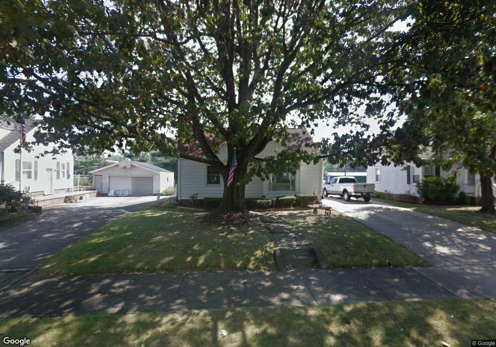
2626 Shunk Ave Alliance, OH 44601
Estimated Value: $156,000 - $169,000
3
Beds
2
Baths
1,248
Sq Ft
$131/Sq Ft
Est. Value
About This Home
This home is located at 2626 Shunk Ave, Alliance, OH 44601 and is currently estimated at $163,359, approximately $130 per square foot. 2626 Shunk Ave is a home located in Stark County with nearby schools including Alliance Elementary School at Rockhill, Alliance Intermediate School at Northside, and Alliance Middle School.
Ownership History
Date
Name
Owned For
Owner Type
Purchase Details
Closed on
Oct 6, 2023
Sold by
Walter Floyd Carl
Bought by
Walter Family Trust and Walter
Current Estimated Value
Purchase Details
Closed on
Sep 29, 2023
Sold by
Walter Kent W and Walter Mary M
Bought by
Walter Floyd Carl
Create a Home Valuation Report for This Property
The Home Valuation Report is an in-depth analysis detailing your home's value as well as a comparison with similar homes in the area
Home Values in the Area
Average Home Value in this Area
Purchase History
| Date | Buyer | Sale Price | Title Company |
|---|---|---|---|
| Walter Family Trust | -- | None Listed On Document | |
| Walter Floyd Carl | -- | None Listed On Document |
Source: Public Records
Tax History
| Year | Tax Paid | Tax Assessment Tax Assessment Total Assessment is a certain percentage of the fair market value that is determined by local assessors to be the total taxable value of land and additions on the property. | Land | Improvement |
|---|---|---|---|---|
| 2025 | -- | $36,160 | $12,110 | $24,050 |
| 2024 | -- | $36,160 | $12,110 | $24,050 |
| 2023 | $1,078 | $35,990 | $9,420 | $26,570 |
| 2022 | $1,102 | $35,990 | $9,420 | $26,570 |
| 2021 | $1,103 | $35,990 | $9,420 | $26,570 |
| 2020 | $971 | $31,150 | $8,190 | $22,960 |
| 2019 | $957 | $31,150 | $8,190 | $22,960 |
Source: Public Records
Map
Nearby Homes
- 2705 Shunk Ave
- 2625 Belleflower Dr
- 2943 S Union Ave
- 856 Birchwood Dr
- 3116 Ridgehill Ave
- 2406 S Union Ave
- 2372 S Union Ave
- 2405 Cherry Ave
- 152 E Mill St
- 29 Colony Dr
- 31 Colony Dr
- 2041 Watson Ave
- 2408 S Linden Ave
- 864 W College Rd
- 1016 Roseland Rd
- 555 E Milton St
- 2630 Blenheim Ave
- 720 Vincent Blvd
- 2635 Blenheim Ave
- 1539 Parkway Blvd
- 2616 Shunk Ave
- 2606 Shunk Ave
- 2708 Shunk Ave
- 2556 Shunk Ave
- 2724 Shunk Ave
- 2625 Shunk Ave
- 2635 Shunk Ave
- 2613 Shunk Ave
- 2645 Shunk Ave
- 2544 Shunk Ave
- 2603 Shunk Ave
- 2553 Shunk Ave
- 2740 Shunk Ave
- 2534 Shunk Ave
- 2543 Shunk Ave
- 2729 Shunk Ave
- 2524 Shunk Ave
- 2531 Shunk Ave
- 2630 Belleflower Dr
- 2614 Belleflower Dr
Your Personal Tour Guide
Ask me questions while you tour the home.