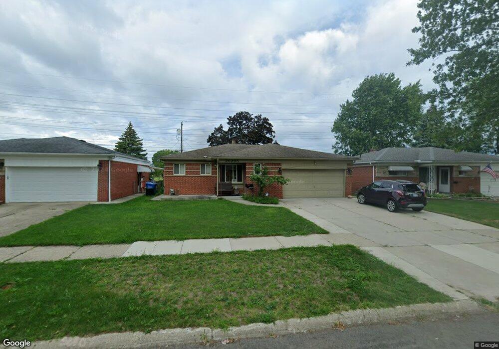
26265 Newport Ave Warren, MI 48089
Southeast Warren NeighborhoodEstimated Value: $240,161 - $267,000
3
Beds
2
Baths
1,392
Sq Ft
$179/Sq Ft
Est. Value
About This Home
This home is located at 26265 Newport Ave, Warren, MI 48089 and is currently estimated at $248,790, approximately $178 per square foot. 26265 Newport Ave is a home located in Macomb County with nearby schools including Warren Woods Tower High School and Frontier International Academy Elementary.
Ownership History
Date
Name
Owned For
Owner Type
Purchase Details
Closed on
Dec 15, 2006
Sold by
Vang Pang Kao Shayea and Vang Jean Yang
Bought by
Hsbc Mortgage Services Inc
Current Estimated Value
Purchase Details
Closed on
Mar 4, 2004
Sold by
Weiss Ronald A and Weiss Katherine T
Bought by
Vang Pang Kao Shayea and Vang Jean Yang
Purchase Details
Closed on
May 19, 1999
Sold by
Joyce John C
Bought by
Weiss Ronald A
Purchase Details
Closed on
Feb 15, 1996
Sold by
Devlaminck B and Devlaminck V
Bought by
Joyce J and Joyce R
Create a Home Valuation Report for This Property
The Home Valuation Report is an in-depth analysis detailing your home's value as well as a comparison with similar homes in the area
Home Values in the Area
Average Home Value in this Area
Purchase History
| Date | Buyer | Sale Price | Title Company |
|---|---|---|---|
| Hsbc Mortgage Services Inc | $104,152 | None Available | |
| Vang Pang Kao Shayea | $160,000 | First American Title | |
| Weiss Ronald A | $122,500 | -- | |
| Joyce J | $109,900 | -- |
Source: Public Records
Tax History Compared to Growth
Tax History
| Year | Tax Paid | Tax Assessment Tax Assessment Total Assessment is a certain percentage of the fair market value that is determined by local assessors to be the total taxable value of land and additions on the property. | Land | Improvement |
|---|---|---|---|---|
| 2025 | $2,736 | $113,440 | $0 | $0 |
| 2024 | $2,659 | $100,270 | $0 | $0 |
| 2023 | $2,512 | $90,950 | $0 | $0 |
| 2022 | $2,463 | $81,730 | $0 | $0 |
| 2021 | $2,417 | $78,070 | $0 | $0 |
| 2020 | $2,316 | $73,170 | $0 | $0 |
| 2019 | $2,213 | $67,960 | $0 | $0 |
| 2018 | $2,235 | $52,960 | $0 | $0 |
| 2017 | $2,114 | $48,850 | $5,750 | $43,100 |
| 2016 | $2,098 | $48,850 | $0 | $0 |
| 2015 | -- | $44,900 | $0 | $0 |
| 2013 | $6,079 | $39,660 | $0 | $0 |
Source: Public Records
Map
Nearby Homes
- 26515 Newport Ave
- 13203 Frazho Rd
- 13144 Stamford Ave
- 13171 Burgundy Ave
- 26552 Wagner Ave
- 25653 Palomino Ave
- 12291 E 11 Mile Rd
- 11927 Stamford Ave
- 11920 Carney St
- 12922 Heritage S Unit 54
- 26640 Schoenherr Rd
- 11820 Mckinley Dr
- 13696 Harthill Ave
- 13429 Zagaiski Ave
- 25317 Wagner Ave
- 13653 Brainbridge Ave
- 27260 Norma Dr
- 0000 Frazho Rd
- 25227 Marilyn Ave
- 27529 Roan Dr
- 26253 Newport Ave
- 26303 Newport Ave Unit Bldg-Unit
- 26303 Newport Ave
- 26241 Newport Ave
- 26315 Newport Ave
- 26229 Newport Ave
- 26325 Newport Ave
- 26264 Newport Ave
- 26252 Newport Ave
- 26302 Newport Ave
- 26217 Newport Ave
- 26322 Newport Ave
- 26240 Newport Ave
- 26335 Newport Ave
- 26228 Newport Ave
- 26205 Newport Ave
- 26348 Newport Ave
- 26216 Newport Ave
- 26345 Newport Ave
- 26167 Newport Ave