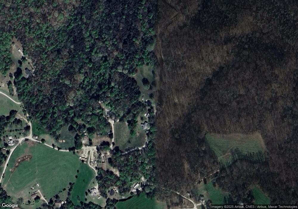
2628 Cannon Rd Baldwin, GA 30511
Estimated Value: $240,000 - $292,000
3
Beds
2
Baths
1,540
Sq Ft
$167/Sq Ft
Est. Value
About This Home
This home is located at 2628 Cannon Rd, Baldwin, GA 30511 and is currently estimated at $256,735, approximately $166 per square foot. 2628 Cannon Rd is a home with nearby schools including Stephens County High School.
Ownership History
Date
Name
Owned For
Owner Type
Purchase Details
Closed on
Apr 25, 2016
Sold by
Long David Jason
Bought by
Mcfarlin Terry W and Mcfarlin Carole B
Current Estimated Value
Home Financials for this Owner
Home Financials are based on the most recent Mortgage that was taken out on this home.
Original Mortgage
$119,790
Outstanding Balance
$95,259
Interest Rate
3.71%
Mortgage Type
FHA
Estimated Equity
$161,476
Purchase Details
Closed on
Feb 1, 1995
Bought by
Long David Jason and Long Tracey
Create a Home Valuation Report for This Property
The Home Valuation Report is an in-depth analysis detailing your home's value as well as a comparison with similar homes in the area
Home Values in the Area
Average Home Value in this Area
Purchase History
| Date | Buyer | Sale Price | Title Company |
|---|---|---|---|
| Mcfarlin Terry W | $122,000 | -- | |
| Long David Jason | -- | -- |
Source: Public Records
Mortgage History
| Date | Status | Borrower | Loan Amount |
|---|---|---|---|
| Open | Mcfarlin Terry W | $119,790 |
Source: Public Records
Tax History Compared to Growth
Tax History
| Year | Tax Paid | Tax Assessment Tax Assessment Total Assessment is a certain percentage of the fair market value that is determined by local assessors to be the total taxable value of land and additions on the property. | Land | Improvement |
|---|---|---|---|---|
| 2024 | $1,775 | $58,307 | $3,175 | $55,132 |
| 2023 | $1,609 | $54,057 | $3,175 | $50,882 |
| 2022 | $1,528 | $51,330 | $3,175 | $48,155 |
| 2021 | $1,478 | $47,251 | $3,175 | $44,076 |
| 2020 | $1,485 | $47,023 | $3,175 | $43,848 |
| 2019 | $1,460 | $46,055 | $2,887 | $43,168 |
| 2018 | $1,460 | $46,055 | $2,887 | $43,168 |
| 2017 | $1,483 | $46,055 | $2,887 | $43,168 |
| 2016 | $1,133 | $37,732 | $2,886 | $34,845 |
| 2015 | $1,194 | $37,966 | $2,886 | $35,080 |
| 2014 | $1,214 | $37,967 | $2,887 | $35,080 |
| 2013 | -- | $39,082 | $4,002 | $35,080 |
Source: Public Records
Map
Nearby Homes
- 0 Old Mize Rd Unit 25210224
- 0 Old Mize Rd Unit 10625333
- 3125 New Hope Rd
- 3243 Highway 184 N
- 1578 New Hope Rd
- 0 Smokerise Unit 10602885
- 0 Planters Creek Unit LOT 34 10482364
- 701 Sunshine Rd
- 0 Poplar Mountain Ln
- 871 W Leatherwood Rd
- 939 W Leatherwood Rd
- 334 Brock Rd
- 6126 Mize Rd
- 2630 Prospect Rd
- 4638 Highway 63
- LOT 10 Bent Tree Rd
- 2526 Prospect Rd
- 380 Nancy Town Rd
- 193 Tabitha Page Ln
- 5831 Mize Rd
- 2678 Cannon Rd
- 297 Wilbanks Rd
- 127 Wilbanks Rd
- 4015 Highway 105
- 4015 Highway 105
- 4495 Highway 105
- 4120 Highway 105
- 4010 Highway 105
- 2365 Cannon Rd
- 3863 Highway 105
- 416 Wilbanks Rd Unit SUITE B
- 416 Wilbanks Rd Unit SUITE A
- 475 Wilbanks Rd
- 444 Wilbanks Rd
- 648 Wilbanks Rd
- 648 Wilbanks Rd Unit 5
- 526 Wilbanks Rd Unit 3
- 502 Wilbanks Rd Unit 1
- 3851 Highway 105
- 213 Wilbanks Rd
