2628 Crows Nest Loop Bradley, CA 93426
Oak Shores NeighborhoodEstimated Value: $560,000 - $1,345,000
3
Beds
4
Baths
2,125
Sq Ft
$392/Sq Ft
Est. Value
About This Home
This home is located at 2628 Crows Nest Loop, Bradley, CA 93426 and is currently estimated at $834,053, approximately $392 per square foot. 2628 Crows Nest Loop is a home located in San Luis Obispo County with nearby schools including Paso Robles High School.
Ownership History
Date
Name
Owned For
Owner Type
Purchase Details
Closed on
Aug 3, 2010
Sold by
Brown Rodger A and Brown Patricia J
Bought by
Sheehy Brian J and Sheehy Roxann M
Current Estimated Value
Purchase Details
Closed on
Mar 7, 2007
Sold by
Brown Rodger A and Brown Patricia J
Bought by
Brown Rodger A and Brown Patricia J
Purchase Details
Closed on
Jun 23, 1999
Sold by
Karin Properties Corp
Bought by
Brown Rodger A and Brown Patricia J
Purchase Details
Closed on
Nov 17, 1998
Sold by
Lawson R Neil and Lawson La Rae E
Bought by
Karin Properties Corp
Home Financials for this Owner
Home Financials are based on the most recent Mortgage that was taken out on this home.
Original Mortgage
$42,000
Interest Rate
6.42%
Create a Home Valuation Report for This Property
The Home Valuation Report is an in-depth analysis detailing your home's value as well as a comparison with similar homes in the area
Home Values in the Area
Average Home Value in this Area
Purchase History
| Date | Buyer | Sale Price | Title Company |
|---|---|---|---|
| Sheehy Brian J | -- | First American Title Company | |
| Brown Rodger A | -- | None Available | |
| Brown Rodger A | $197,500 | First American Title Ins Co | |
| Karin Properties Corp | $39,500 | First American Title Co |
Source: Public Records
Mortgage History
| Date | Status | Borrower | Loan Amount |
|---|---|---|---|
| Previous Owner | Karin Properties Corp | $42,000 |
Source: Public Records
Tax History
| Year | Tax Paid | Tax Assessment Tax Assessment Total Assessment is a certain percentage of the fair market value that is determined by local assessors to be the total taxable value of land and additions on the property. | Land | Improvement |
|---|---|---|---|---|
| 2025 | $6,406 | $538,083 | $192,170 | $345,913 |
| 2024 | $6,281 | $527,533 | $188,402 | $339,131 |
| 2023 | $6,281 | $517,190 | $184,708 | $332,482 |
| 2022 | $6,384 | $507,050 | $181,087 | $325,963 |
| 2021 | $6,252 | $497,109 | $177,537 | $319,572 |
| 2020 | $6,174 | $492,013 | $175,717 | $316,296 |
| 2019 | $5,614 | $482,367 | $172,272 | $310,095 |
| 2018 | $5,503 | $472,910 | $168,895 | $304,015 |
| 2017 | $5,394 | $463,638 | $165,584 | $298,054 |
| 2016 | $5,157 | $454,548 | $162,338 | $292,210 |
| 2015 | $5,076 | $447,721 | $159,900 | $287,821 |
| 2014 | $4,892 | $438,951 | $156,768 | $282,183 |
Source: Public Records
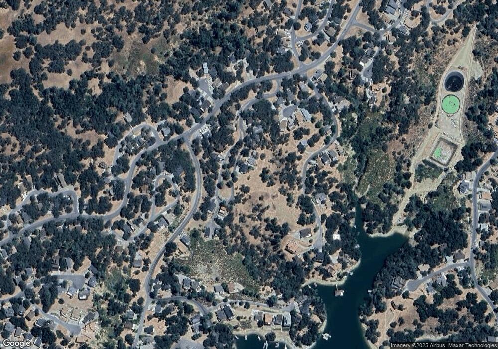
Map
Nearby Homes
- 2646 Oak Shores Dr
- 2647 Oak Shores Dr
- 2627 Captains Walk
- 2532 Anchor Cir
- 2434 Stern Deck Rd
- 8209 Woody Point Ln
- 2762 Oak Shores Dr
- 2433 Stern Deck Rd
- 2488 Captains Walk
- 8767 Pronghorn Ct
- 2474 Captains Walk
- 8205 Bass Point Rd
- 2449 Captains Walk
- 8214 Bass Point Rd
- 2471 Captains Walk
- 2668 Pine Ridge Rd
- 8744 Bluff Ct
- 2664 Pine Ridge Rd
- 8041 Ready Rd
- 2182 Ridge Rider Rd
- 2626 Crows Nest Loop
- 2624 Crows Nest Loop
- 2622 Crows Nest Loop
- 2620 Crows Nest Loop
- 2631 Crows Nest Loop
- 2629 Crows Nest Loop
- 2625 Crows Nest Loop
- 2618 Crows Nest Loop
- 2621 Crows Nest Loop
- 2603 Captains Walk
- 2640 Crows Nest Loop
- 2619 Crows Nest Loop
- 2616 Crows Nest Loop
- 2639 Crows Nest Loop
- 2648 Oak Shores Dr
- 2614 Crows Nest Loop
- 2650 Oak Shores Dr
- 8390 Stub End Cir
- 8391 Stub End Cir
- 2642 Crows Nest Loop
Your Personal Tour Guide
Ask me questions while you tour the home.