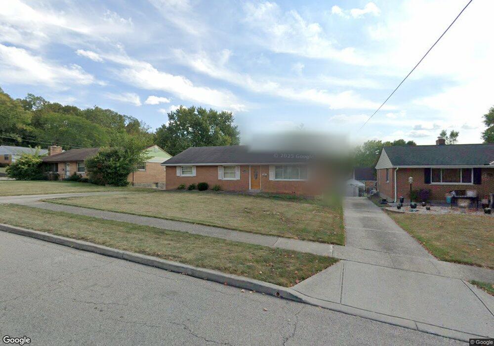
2628 N Kathwood Cir Cincinnati, OH 45236
Estimated Value: $262,000 - $282,000
3
Beds
2
Baths
1,363
Sq Ft
$202/Sq Ft
Est. Value
About This Home
This home is located at 2628 N Kathwood Cir, Cincinnati, OH 45236 and is currently estimated at $275,235, approximately $201 per square foot. 2628 N Kathwood Cir is a home located in Hamilton County with nearby schools including Reading Community High School, Ohr Torah Cincinnati, and Linden Grove School.
Ownership History
Date
Name
Owned For
Owner Type
Purchase Details
Closed on
Jun 28, 2016
Sold by
Dull Daniel D and Laub James J
Bought by
Laub Jerome J
Current Estimated Value
Home Financials for this Owner
Home Financials are based on the most recent Mortgage that was taken out on this home.
Original Mortgage
$85,000
Outstanding Balance
$68,030
Interest Rate
3.66%
Mortgage Type
New Conventional
Estimated Equity
$207,205
Create a Home Valuation Report for This Property
The Home Valuation Report is an in-depth analysis detailing your home's value as well as a comparison with similar homes in the area
Home Values in the Area
Average Home Value in this Area
Purchase History
| Date | Buyer | Sale Price | Title Company |
|---|---|---|---|
| Laub Jerome J | $115,000 | -- |
Source: Public Records
Mortgage History
| Date | Status | Borrower | Loan Amount |
|---|---|---|---|
| Open | Laub Jerome J | $85,000 |
Source: Public Records
Tax History Compared to Growth
Tax History
| Year | Tax Paid | Tax Assessment Tax Assessment Total Assessment is a certain percentage of the fair market value that is determined by local assessors to be the total taxable value of land and additions on the property. | Land | Improvement |
|---|---|---|---|---|
| 2024 | $3,098 | $59,854 | $12,247 | $47,607 |
| 2023 | $3,145 | $59,854 | $12,247 | $47,607 |
| 2022 | $2,574 | $45,483 | $11,046 | $34,437 |
| 2021 | $2,574 | $45,483 | $11,046 | $34,437 |
| 2020 | $2,603 | $45,483 | $11,046 | $34,437 |
| 2019 | $2,522 | $40,251 | $9,776 | $30,475 |
| 2018 | $2,524 | $40,251 | $9,776 | $30,475 |
| 2017 | $2,379 | $40,251 | $9,776 | $30,475 |
| 2016 | $1,919 | $41,612 | $10,129 | $31,483 |
| 2015 | $1,943 | $41,612 | $10,129 | $31,483 |
| 2014 | $1,700 | $41,612 | $10,129 | $31,483 |
| 2013 | $1,548 | $38,893 | $9,468 | $29,425 |
Source: Public Records
Map
Nearby Homes
- 2590 Hunt Rd
- 2598 Maple Tree Ct
- 2800 Maple Tree Ct
- 3843 Blackwood Ct
- 2451 Hunt Rd
- 8990 Sedgewick Dr
- 9508 Southgate Dr
- 3510 Cooper Rd
- 3490 Cooper Rd
- 8907 Eldora Dr
- 3733 Lyndon Center Ct
- 3662 Cooper Rd
- 8778 Wicklow Ave
- 2259 Pompano Ave
- 4034 Mantell Ave
- 1626 Krylon Dr
- 3925 Limerick Ave
- 1194 Fuhrman Rd
- 3577 Mohler Rd
- 162 E Crest Dr
- 2632 N Kathwood Cir
- 2624 N Kathwood Cir
- 2620 N Kathwood Cir
- 2629 S Kathwood Cir
- 2625 S Kathwood Cir
- 2633 S Kathwood Cir
- 2621 S Kathwood Cir
- 2629 N Kathwood Cir
- 2616 N Kathwood Cir
- 2633 N Kathwood Cir
- 2625 N Kathwood Cir
- 2621 N Kathwood Cir
- 2617 S Kathwood Cir
- 2612 N Kathwood Cir
- 144 Waxwing Dr
- 140 Waxwing Dr
- 2617 N Kathwood Cir
- 148 Waxwing Dr
- 136 Waxwing Dr
- 2613 S Kathwood Cir