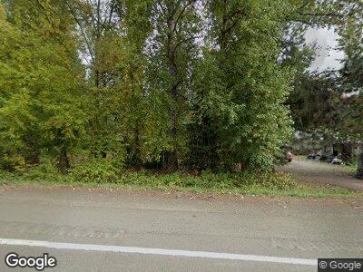
26280 S Highway 213 Mulino, OR 97042
Estimated Value: $453,000 - $586,000
3
Beds
2
Baths
1,404
Sq Ft
$369/Sq Ft
Est. Value
About This Home
This home is located at 26280 S Highway 213, Mulino, OR 97042 and is currently estimated at $518,062, approximately $368 per square foot. 26280 S Highway 213 is a home located in Clackamas County.
Ownership History
Date
Name
Owned For
Owner Type
Purchase Details
Closed on
Jul 19, 2006
Sold by
Robbins Richard B and Robbins Marlene I
Bought by
Myers John L and Myers Sylvia D
Current Estimated Value
Home Financials for this Owner
Home Financials are based on the most recent Mortgage that was taken out on this home.
Original Mortgage
$172,000
Interest Rate
6.57%
Mortgage Type
Purchase Money Mortgage
Create a Home Valuation Report for This Property
The Home Valuation Report is an in-depth analysis detailing your home's value as well as a comparison with similar homes in the area
Home Values in the Area
Average Home Value in this Area
Purchase History
| Date | Buyer | Sale Price | Title Company |
|---|---|---|---|
| Myers John L | $215,000 | Fidelity Natl Title Co Of Or |
Source: Public Records
Mortgage History
| Date | Status | Borrower | Loan Amount |
|---|---|---|---|
| Open | Myers John L | $729,000 | |
| Closed | Myers John L | $729,000 | |
| Closed | Myers John L | $157,655 | |
| Closed | Myers John L | $30,000 | |
| Closed | Myers John L | $42,000 | |
| Closed | Myers John L | $172,000 | |
| Previous Owner | Robbins Richard B | $285,000 |
Source: Public Records
Tax History Compared to Growth
Tax History
| Year | Tax Paid | Tax Assessment Tax Assessment Total Assessment is a certain percentage of the fair market value that is determined by local assessors to be the total taxable value of land and additions on the property. | Land | Improvement |
|---|---|---|---|---|
| 2023 | $3,860 | $231,595 | $0 | $0 |
| 2022 | $3,019 | $224,850 | $0 | $0 |
| 2021 | $2,887 | $218,301 | $0 | $0 |
| 2020 | $2,807 | $211,943 | $0 | $0 |
| 2019 | $2,725 | $205,770 | $0 | $0 |
| 2018 | $2,650 | $199,777 | $0 | $0 |
| 2017 | $2,510 | $193,958 | $0 | $0 |
| 2016 | $2,364 | $188,309 | $0 | $0 |
| 2015 | $2,287 | $182,824 | $0 | $0 |
| 2014 | $2,162 | $177,499 | $0 | $0 |
Source: Public Records
Map
Nearby Homes
- 13934 S Graves Rd
- 13964 S Graves Rd
- 26250 S Milk Creek Cir
- 14332 S Graves Rd
- 0 S Ranch Hills Rd
- 14755 S Graves Rd
- 13150 S Freeman Rd
- 13920 S Lucia Ln
- 13226 S Cliffside Dr
- 26740 S Fish Rd
- 25230 S Zeller Dr
- 13601 S Union Hall Rd
- 26564 S Burns Rd
- 15693 S Hidden Rd
- 15618 S Wave Rd
- 24450 S Highway 213
- 12192 S Mulino Rd
- 27671 S Ringo Rd
- 12430 S Oak Grove Rd
- 15816 S Wave Rd
- 26280 S Highway 213
- 26282 S Highway 213
- 26248 S Highway 213
- 26248 S Hwy 213
- 26307 S Highway 213
- 26342 S Highway 213
- 26261 S Highway 213
- 26313 S Highway 213
- 26335 S Highway 213
- 26208 S Highway 213
- 26362 S Highway 213
- 26355 S Highway 213
- 26180 Cascade Hwy
- 26180 S Highway 213
- 26243 S Highway 213
- 26412 S Highway 213
- 26208 Cascade Hwy
- 26401 S Highway 213
- 13900 S Alder Creek Ln
- 14113 S Graves Rd
