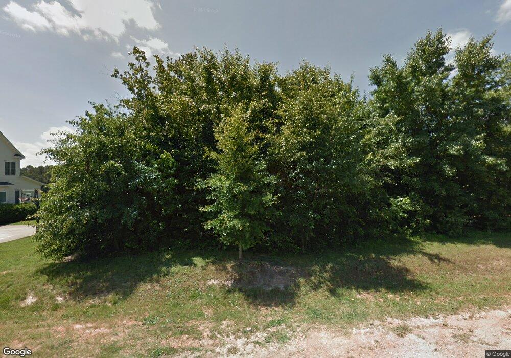
2629 Branston Way Unit 7 Apex, NC 27539
Middle Creek NeighborhoodEstimated Value: $997,396 - $1,202,000
--
Bed
1
Bath
3,482
Sq Ft
$314/Sq Ft
Est. Value
About This Home
This home is located at 2629 Branston Way Unit 7, Apex, NC 27539 and is currently estimated at $1,094,849, approximately $314 per square foot. 2629 Branston Way Unit 7 is a home located in Wake County with nearby schools including Yates Mill Elementary School, Dillard Drive Magnet Middle School, and Middle Creek High.
Ownership History
Date
Name
Owned For
Owner Type
Purchase Details
Closed on
Feb 24, 2023
Sold by
Humphries Robert Baker and Humphries Heidi Annika
Bought by
Robert Baker Humphries Revocable Trust and Heidi Annika Humphries Revocable Trust
Current Estimated Value
Purchase Details
Closed on
Dec 18, 2013
Sold by
Ashton Raleigh Residential Llc
Bought by
Cave Harold David and Cave Karen Verner
Home Financials for this Owner
Home Financials are based on the most recent Mortgage that was taken out on this home.
Original Mortgage
$150,000
Interest Rate
4.19%
Mortgage Type
Construction
Purchase Details
Closed on
Jan 6, 2011
Sold by
M&W Partners Llc
Bought by
Mayberry Real Estate Holdings Llc
Create a Home Valuation Report for This Property
The Home Valuation Report is an in-depth analysis detailing your home's value as well as a comparison with similar homes in the area
Home Values in the Area
Average Home Value in this Area
Purchase History
| Date | Buyer | Sale Price | Title Company |
|---|---|---|---|
| Robert Baker Humphries Revocable Trust | -- | -- | |
| Cave Harold David | $90,000 | None Available | |
| Mayberry Real Estate Holdings Llc | $66,500 | None Available |
Source: Public Records
Mortgage History
| Date | Status | Borrower | Loan Amount |
|---|---|---|---|
| Previous Owner | Cave Harold David | $150,000 |
Source: Public Records
Tax History Compared to Growth
Tax History
| Year | Tax Paid | Tax Assessment Tax Assessment Total Assessment is a certain percentage of the fair market value that is determined by local assessors to be the total taxable value of land and additions on the property. | Land | Improvement |
|---|---|---|---|---|
| 2025 | $6,177 | $962,678 | $170,000 | $792,678 |
| 2024 | $5,998 | $962,678 | $170,000 | $792,678 |
| 2023 | $5,252 | $671,005 | $100,000 | $571,005 |
| 2022 | $4,866 | $671,005 | $100,000 | $571,005 |
| 2021 | $4,735 | $671,005 | $100,000 | $571,005 |
| 2020 | $4,657 | $671,005 | $100,000 | $571,005 |
| 2019 | $4,657 | $567,813 | $112,000 | $455,813 |
| 2018 | $4,281 | $567,813 | $112,000 | $455,813 |
| 2017 | $4,057 | $567,813 | $112,000 | $455,813 |
| 2016 | $3,975 | $567,813 | $112,000 | $455,813 |
| 2015 | $1,604 | $140,000 | $140,000 | $0 |
| 2014 | -- | $140,000 | $140,000 | $0 |
Source: Public Records
Map
Nearby Homes
- 3505 Knightshire Dr
- 8004 Deer Meadow Dr
- 6512 Ten Rd
- 6512 Ten-Ten Rd
- 4012 Graham Newton Rd
- 3710 Johnson Pond Rd
- 8008 Deer Meadow Dr
- 7513 Orchard Crest Ct
- 2901 Hunters Bluff Dr
- 7825 Penny Rd
- 8201 Rhodes Rd
- 8012 Penny Rd
- 4104 Cross Timber Ln
- 3901 Bluffwind Dr
- 8016 Penny Rd Unit Nc
- 5228 Trilogy Farm Dr
- 5300 Trilogy Farm Dr
- 8014 Penny Rd
- 8844 Forester Ln
- 5112 Lizard Tail Ln
- 2629 Branston Way
- 2633 Branston Way
- 2625 Branston Way
- 7437 Branston Way
- 2632 Branston Way
- 2632 Branston Way Unit 30
- 2621 Branston Way
- 2621 Branston Way Unit 5
- 7437 Bleasdale Ct
- 3500 Hundleby Dr
- 2624 Branston Way
- 2617 Branston Way
- 7436 Bleasdale Ct
- 3508 Hundleby Dr Unit Lot 7
- 2641 Branston Way
- 2620 Branston Way
- 2640 Branston Way
- 2640 Branston Way Unit 29
- 3509 Hundleby Dr Unit Lot 1
- 3509 Hundleby Dr
