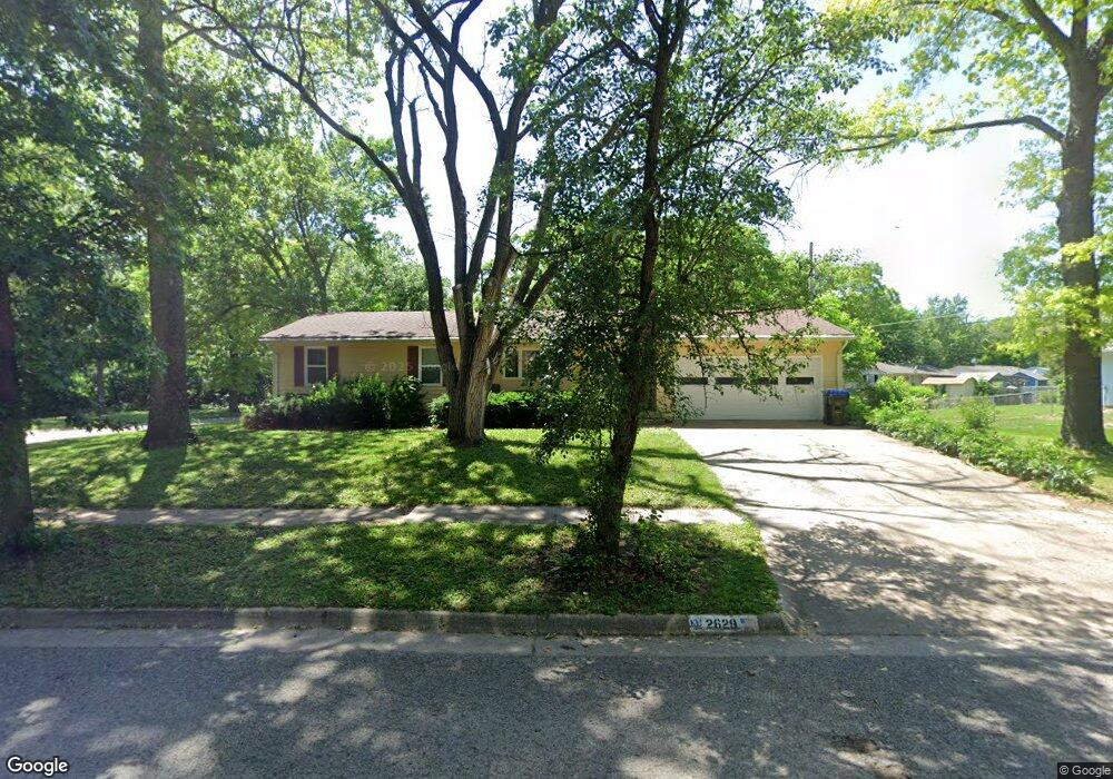
2629 SW Duncan Ct Topeka, KS 66614
West Topeka NeighborhoodEstimated Value: $145,000 - $177,033
3
Beds
2
Baths
1,017
Sq Ft
$158/Sq Ft
Est. Value
About This Home
This home is located at 2629 SW Duncan Ct, Topeka, KS 66614 and is currently estimated at $160,508, approximately $157 per square foot. 2629 SW Duncan Ct is a home located in Shawnee County with nearby schools including McEachron Elementary School, Marjorie French Middle School, and Topeka West High School.
Ownership History
Date
Name
Owned For
Owner Type
Purchase Details
Closed on
Oct 31, 2022
Sold by
Harrod Debra A
Bought by
Seal Vanessa and Anderson Jacob
Current Estimated Value
Home Financials for this Owner
Home Financials are based on the most recent Mortgage that was taken out on this home.
Original Mortgage
$111,720
Outstanding Balance
$107,624
Interest Rate
6.02%
Mortgage Type
New Conventional
Estimated Equity
$52,884
Purchase Details
Closed on
Jun 8, 2021
Sold by
Ross Wilma G
Bought by
Harrod Debra A
Home Financials for this Owner
Home Financials are based on the most recent Mortgage that was taken out on this home.
Original Mortgage
$88,800
Interest Rate
2.9%
Mortgage Type
New Conventional
Create a Home Valuation Report for This Property
The Home Valuation Report is an in-depth analysis detailing your home's value as well as a comparison with similar homes in the area
Home Values in the Area
Average Home Value in this Area
Purchase History
| Date | Buyer | Sale Price | Title Company |
|---|---|---|---|
| Seal Vanessa | -- | Lawyers Title Of Topeka | |
| Harrod Debra A | -- | Lawyers Title Of Topeka |
Source: Public Records
Mortgage History
| Date | Status | Borrower | Loan Amount |
|---|---|---|---|
| Open | Seal Vanessa | $111,720 | |
| Previous Owner | Harrod Debra A | $88,800 |
Source: Public Records
Tax History Compared to Growth
Tax History
| Year | Tax Paid | Tax Assessment Tax Assessment Total Assessment is a certain percentage of the fair market value that is determined by local assessors to be the total taxable value of land and additions on the property. | Land | Improvement |
|---|---|---|---|---|
| 2025 | $2,297 | $17,906 | -- | -- |
| 2023 | $2,297 | $15,496 | $0 | $0 |
| 2022 | $2,010 | $13,593 | $0 | $0 |
| 2021 | $1,846 | $11,820 | $0 | $0 |
| 2020 | $1,719 | $11,150 | $0 | $0 |
| 2019 | $1,678 | $10,826 | $0 | $0 |
| 2018 | $1,630 | $10,511 | $0 | $0 |
| 2017 | $1,633 | $10,511 | $0 | $0 |
| 2014 | $1,650 | $10,511 | $0 | $0 |
Source: Public Records
Map
Nearby Homes
- 4200 SW 28th Terrace
- 2707 SW Burnett Rd
- 4426 SW 29th Terrace
- 3904 SW 26th St
- 4300 SW 30th St
- 2914 SW Lydia Ave
- 3004 SW Eveningside Dr
- 3002 SW Lydia Ave
- 2425 SW James St
- 4236 SW Twilight Dr
- 2401 SW James St
- 4918 SW 28th St
- 4741 SW Twilight Dr
- 4130 SW 33rd Terrace
- 3231 SW 30th Terrace
- 2401 SW Crest Dr
- 3100 SW 31st St
- 4001 SW 33rd Terrace
- 5218 SW 28th St
- 4828 SW Cochise Ave
- 4200 SW Shunga Dr
- 2621 SW Duncan Ct
- 2630 SW Duncan Ct
- 2624 SW Duncan Ct
- 4206 SW Shunga Dr
- 2613 SW Duncan Ct
- 4024 SW Shunga Dr
- 2618 SW Duncan Ct
- 4212 SW Shunga Dr
- 4018 SW Shunga Dr
- 2617 SW Seabrook Ave
- 2609 SW Duncan Ct
- 2612 SW Duncan Ct
- 2608 SW Duncan Ct
- 2613 SW Seabrook Ave
- 4216 SW Shunga Dr
- 4901 SW Shunga Dr
- 4012 SW Shunga Dr
- 2708 SW Moundview Dr
- 3933 SW Dixie Ct