26297 139th Ave Fort Ripley, MN 56449
Estimated Value: $446,000 - $587,000
3
Beds
3
Baths
4,006
Sq Ft
$125/Sq Ft
Est. Value
About This Home
This home is located at 26297 139th Ave, Fort Ripley, MN 56449 and is currently estimated at $500,965, approximately $125 per square foot. 26297 139th Ave is a home located in Morrison County with nearby schools including Little Falls Senior High School.
Ownership History
Date
Name
Owned For
Owner Type
Purchase Details
Closed on
Jan 26, 2016
Sold by
Hunnel Blake Blake
Bought by
Backowski Collin Collin
Current Estimated Value
Home Financials for this Owner
Home Financials are based on the most recent Mortgage that was taken out on this home.
Original Mortgage
$211,000
Outstanding Balance
$167,437
Interest Rate
3.81%
Estimated Equity
$333,528
Purchase Details
Closed on
May 8, 2014
Sold by
Luckey Roger Roger
Bought by
Hunnel Blake Blake
Home Financials for this Owner
Home Financials are based on the most recent Mortgage that was taken out on this home.
Original Mortgage
$186,000
Interest Rate
4.21%
Create a Home Valuation Report for This Property
The Home Valuation Report is an in-depth analysis detailing your home's value as well as a comparison with similar homes in the area
Home Values in the Area
Average Home Value in this Area
Purchase History
| Date | Buyer | Sale Price | Title Company |
|---|---|---|---|
| Backowski Collin Collin | $212,000 | -- | |
| Hunnel Blake Blake | $186,000 | -- |
Source: Public Records
Mortgage History
| Date | Status | Borrower | Loan Amount |
|---|---|---|---|
| Open | Backowski Collin Collin | $211,000 | |
| Previous Owner | Hunnel Blake Blake | $186,000 |
Source: Public Records
Tax History Compared to Growth
Tax History
| Year | Tax Paid | Tax Assessment Tax Assessment Total Assessment is a certain percentage of the fair market value that is determined by local assessors to be the total taxable value of land and additions on the property. | Land | Improvement |
|---|---|---|---|---|
| 2025 | $3,148 | $428,300 | $60,000 | $368,300 |
| 2024 | $2,734 | $396,100 | $50,000 | $346,100 |
| 2023 | $2,868 | $334,900 | $46,000 | $288,900 |
| 2022 | $2,872 | $318,400 | $46,000 | $272,400 |
| 2021 | $2,406 | $294,500 | $46,000 | $248,500 |
| 2020 | $2,194 | $661,900 | $138,000 | $523,900 |
| 2019 | $2,184 | $216,000 | $46,000 | $170,000 |
| 2018 | $2,090 | $203,000 | $46,000 | $157,000 |
| 2017 | $1,990 | $194,300 | $46,000 | $148,300 |
| 2016 | $248 | $0 | $0 | $0 |
| 2014 | $1,400 | $0 | $0 | $0 |
| 2013 | $1,400 | $0 | $0 | $0 |
Source: Public Records
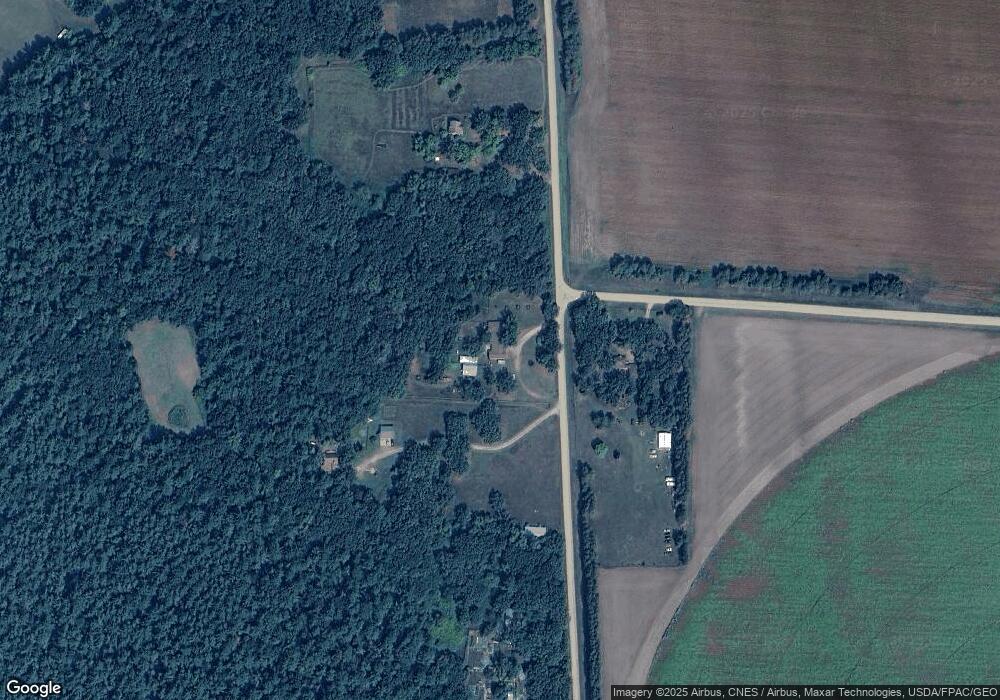
Map
Nearby Homes
- 15576 263rd St
- 2761 Mississippi Shores Rd
- TBD Haven Rd
- 21458 Grouse Rd
- xxx Birch Curve Rd
- 20176 263rd St
- 27331 Honey Hill Rd
- TBD 175th Ave
- 5471 Crow Wing Lake Rd
- xxx Lake Camile Lost Lake
- XXX Mallard Dr
- TBD Powderhorn Dr
- xxx Cardinal Trail
- TBD 263rd St
- 7302 Lake Camile Dr
- Lot 1 Blk 1 Ridgewood Dr
- Lot 1 Blk 2 Ridgewood Dr
- Lot 10 Blk 1 Brummer Dr
- Lot 7 Blk 2 Brummer Dr
- Lot 11 Blk 1 Brummer Dr