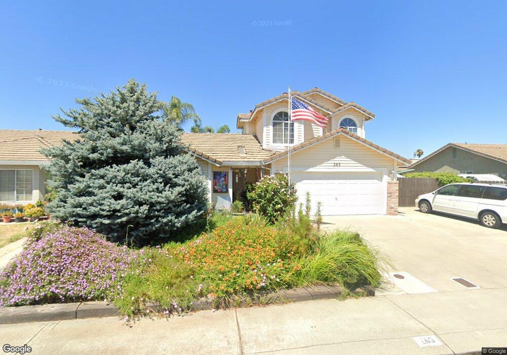
263 Chandra Way Lathrop, CA 95330
East Lathrop NeighborhoodEstimated Value: $343,000 - $512,000
4
Beds
2
Baths
1,473
Sq Ft
$305/Sq Ft
Est. Value
About This Home
This home is located at 263 Chandra Way, Lathrop, CA 95330 and is currently estimated at $448,620, approximately $304 per square foot. 263 Chandra Way is a home located in San Joaquin County with nearby schools including Lathrop Elementary School, Lathrop High School, and Nextgeneration Steam Academy.
Ownership History
Date
Name
Owned For
Owner Type
Purchase Details
Closed on
Jul 15, 2013
Sold by
Hedemark Robert W and Hedemark Ruth A
Bought by
Evans Ronald
Current Estimated Value
Purchase Details
Closed on
Dec 21, 2006
Sold by
Hedemark Robert W and Hedemark Ruth A
Bought by
Hedemark Robert W and Hedemark Ruth A
Purchase Details
Closed on
Jan 5, 2001
Sold by
Hedemark Robert W
Bought by
Hedemark Robert W and Hedemark Ruth A
Purchase Details
Closed on
Apr 4, 1997
Sold by
Robert Hedemark
Bought by
Hedemark Robert W and Hedemark Tampa K
Create a Home Valuation Report for This Property
The Home Valuation Report is an in-depth analysis detailing your home's value as well as a comparison with similar homes in the area
Home Values in the Area
Average Home Value in this Area
Purchase History
| Date | Buyer | Sale Price | Title Company |
|---|---|---|---|
| Evans Ronald | -- | None Available | |
| Hedemark Robert W | -- | None Available | |
| Hedemark Robert W | -- | -- | |
| Hedemark Robert W | -- | -- |
Source: Public Records
Tax History
| Year | Tax Paid | Tax Assessment Tax Assessment Total Assessment is a certain percentage of the fair market value that is determined by local assessors to be the total taxable value of land and additions on the property. | Land | Improvement |
|---|---|---|---|---|
| 2025 | $2,944 | $227,516 | $75,034 | $152,482 |
| 2024 | $2,901 | $223,056 | $73,563 | $149,493 |
| 2023 | $2,823 | $218,683 | $72,121 | $146,562 |
| 2022 | $2,784 | $214,396 | $70,707 | $143,689 |
| 2021 | $2,754 | $210,193 | $69,321 | $140,872 |
| 2020 | $2,656 | $208,039 | $68,611 | $139,428 |
| 2019 | $2,624 | $203,961 | $67,266 | $136,695 |
| 2018 | $2,592 | $199,963 | $65,948 | $134,015 |
| 2017 | $2,557 | $196,043 | $64,655 | $131,388 |
| 2016 | $2,502 | $192,200 | $63,388 | $128,812 |
| 2014 | $2,349 | $185,606 | $61,213 | $124,393 |
Source: Public Records
Map
Nearby Homes
- 15820 S Harlan Rd Unit 16
- 15820 S Harlan Rd Unit 98
- 15820 S Harlan Rd Unit 143
- 15940 Warfield Rd
- 16012 Julie Ln
- 292 W Lathrop Rd
- 710 Sunflower Dr
- 15150 Hollyhock Ct
- 16235 Suzie Q Ln
- 14224 S Harlan Rd
- 3104 Needham Ave
- 14129 Reverend Maurice Cotton Dr
- 16439 Carleta Place
- 14310 Cedar Valley Dr
- 197 E Louise Ave
- 808 Prairie Dunes Dr
- 339 Glass Beach Dr
- 367 Glass Beach Dr
- 381 Glass Beach Dr
- 395 Glass Beach Dr
Your Personal Tour Guide
Ask me questions while you tour the home.