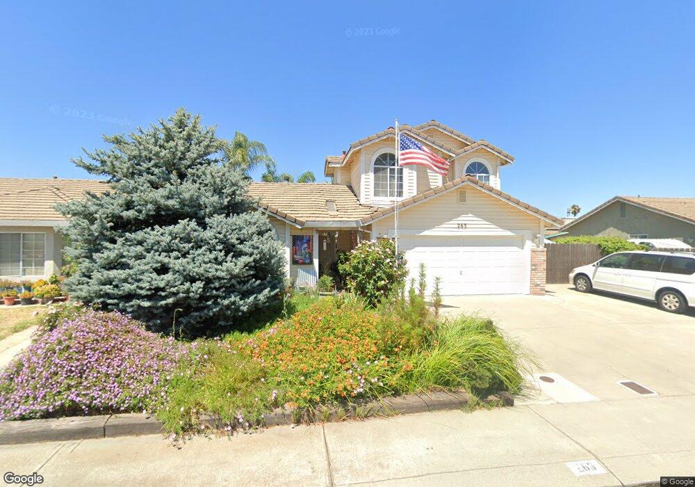
263 Chandra Way Lathrop, CA 95330
East Lathrop NeighborhoodEstimated Value: $467,000 - $528,000
About This Home
This home is located at 263 Chandra Way, Lathrop, CA 95330 and is currently estimated at $495,692, approximately $336 per square foot. 263 Chandra Way is a home located in San Joaquin County with nearby schools including Lathrop Elementary School, Lathrop High School, and BE.TECH Charter High School.
Ownership History
We collect this data history from publicly available records. To have your information removed, we recommend requesting removal directly through your county’s website.
Purchase Details
Purchase Details
Purchase Details
Purchase Details
Home Values in the Area
Average Home Value in this Area
Purchase History
We collect this data history from publicly available records. To have your information removed, we recommend requesting removal directly through your county’s website.
| Date | Buyer | Sale Price | Title Company |
|---|---|---|---|
| -- | None Available | ||
| -- | None Available | ||
| -- | -- | ||
| -- | -- |
Tax History
We collect this data history from publicly available records. To have your information removed, we recommend requesting removal directly through your county’s website.
| Year | Tax Paid | Tax Assessment Tax Assessment Total Assessment is a certain percentage of the fair market value that is determined by local assessors to be the total taxable value of land and additions on the property. | Land | Improvement |
|---|---|---|---|---|
| 2025 | $2,944 | $227,516 | $75,034 | $152,482 |
| 2024 | $2,901 | $223,056 | $73,563 | $149,493 |
| 2023 | $2,823 | $218,683 | $72,121 | $146,562 |
| 2022 | $2,784 | $214,396 | $70,707 | $143,689 |
| 2021 | $2,754 | $210,193 | $69,321 | $140,872 |
| 2020 | $2,656 | $208,039 | $68,611 | $139,428 |
| 2019 | $2,624 | $203,961 | $67,266 | $136,695 |
| 2018 | $2,592 | $199,963 | $65,948 | $134,015 |
| 2017 | $2,557 | $196,043 | $64,655 | $131,388 |
| 2016 | $2,502 | $192,200 | $63,388 | $128,812 |
| 2014 | $2,349 | $185,606 | $61,213 | $124,393 |
Map
- 260 Patricia Place
- 188 Thomsen Rd
- 15820 S Harlan Rd Unit 5
- 15883 Warfield Rd
- 15133 Ryhiner Ln
- 15940 Warfield Rd
- 469 Orlando Ln
- 16074 Warfield Rd
- 15055 Hollyhock Ct
- 20 Shilling Ave
- 287 George St
- 16235 Suzie Q Ln
- 15460 5th St
- 15385 Trolley St
- 2840 Wylin Blvd
- 3195 Paxton St
- 16419 Bizzibe St
- 911 Toro Ln
- 15968 Bandon Ln
- 16016 Bandon Ln
Ask me questions while you tour the home.