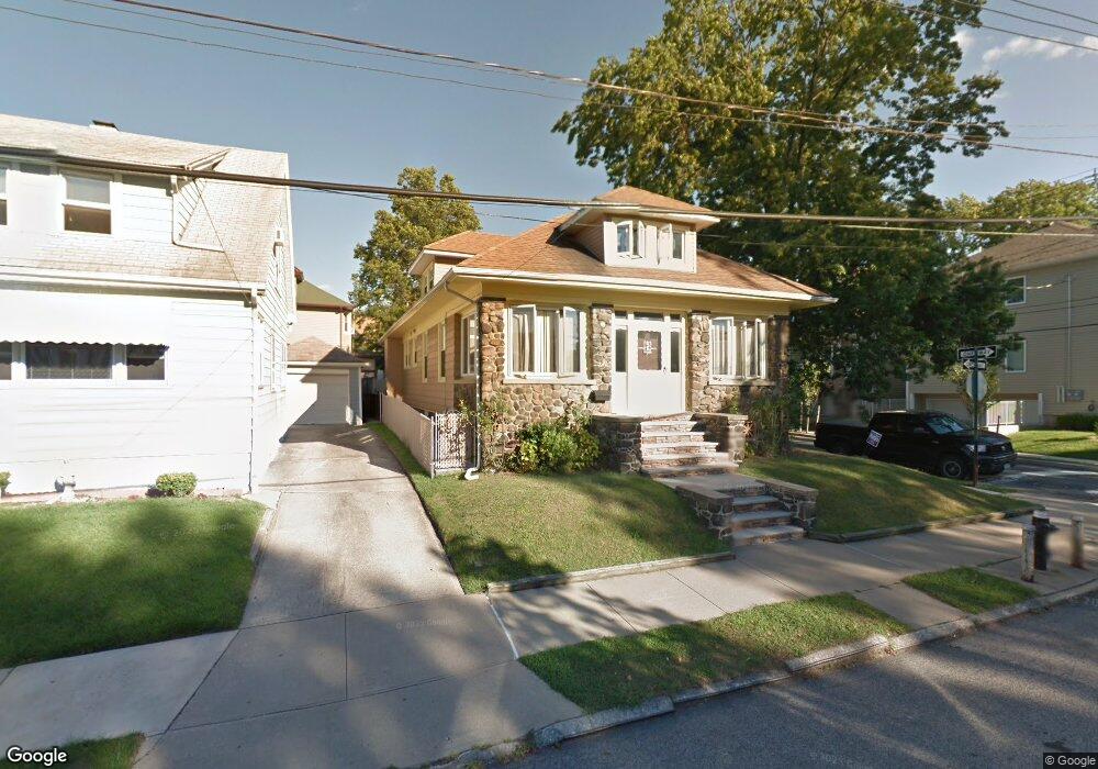
263 Clinton B Fiske Ave Staten Island, NY 10314
Westerleigh NeighborhoodEstimated Value: $746,000 - $819,000
4
Beds
2
Baths
1,080
Sq Ft
$728/Sq Ft
Est. Value
About This Home
This home is located at 263 Clinton B Fiske Ave, Staten Island, NY 10314 and is currently estimated at $785,900, approximately $727 per square foot. 263 Clinton B Fiske Ave is a home located in Richmond County with nearby schools including P.S. 30 Westerleigh, I.S. 51 Edwin Markham, and Port Richmond High School.
Ownership History
Date
Name
Owned For
Owner Type
Purchase Details
Closed on
May 15, 2003
Sold by
Calderon Ramon and Calderon Diva
Bought by
Devincenzi Roberto and Devincenzi Laura Ann
Current Estimated Value
Home Financials for this Owner
Home Financials are based on the most recent Mortgage that was taken out on this home.
Original Mortgage
$330,000
Interest Rate
7.25%
Mortgage Type
Purchase Money Mortgage
Create a Home Valuation Report for This Property
The Home Valuation Report is an in-depth analysis detailing your home's value as well as a comparison with similar homes in the area
Home Values in the Area
Average Home Value in this Area
Purchase History
| Date | Buyer | Sale Price | Title Company |
|---|---|---|---|
| Devincenzi Roberto | $350,000 | -- |
Source: Public Records
Mortgage History
| Date | Status | Borrower | Loan Amount |
|---|---|---|---|
| Previous Owner | Devincenzi Roberto | $330,000 |
Source: Public Records
Tax History Compared to Growth
Tax History
| Year | Tax Paid | Tax Assessment Tax Assessment Total Assessment is a certain percentage of the fair market value that is determined by local assessors to be the total taxable value of land and additions on the property. | Land | Improvement |
|---|---|---|---|---|
| 2025 | $6,202 | $49,620 | $10,881 | $38,739 |
| 2024 | $6,214 | $46,560 | $10,940 | $35,620 |
| 2023 | $5,901 | $30,456 | $9,593 | $20,863 |
| 2022 | $5,793 | $46,380 | $15,780 | $30,600 |
| 2021 | $6,057 | $41,340 | $15,780 | $25,560 |
| 2020 | $5,739 | $40,800 | $15,780 | $25,020 |
| 2019 | $5,334 | $42,660 | $15,780 | $26,880 |
| 2018 | $4,876 | $25,380 | $11,069 | $14,311 |
| 2017 | $4,874 | $25,380 | $15,170 | $10,210 |
| 2016 | $4,725 | $25,186 | $13,601 | $11,585 |
| 2015 | $3,997 | $23,761 | $13,018 | $10,743 |
| 2014 | $3,997 | $22,417 | $11,641 | $10,776 |
Source: Public Records
Map
Nearby Homes
- 282 Willard Ave
- 279 Saint John Ave
- 307 Fiske Ave
- 307 Clinton B Fiske Ave
- 14 Leonard Ave
- 48 Markham Place
- 0 Willard Ave
- 63 Avon Ln
- 142 Margaretta Ct
- 751 Jewett Ave Unit 17
- 751 Jewett Ave
- 183 Goodwin Ave
- 27 Frederick St
- 202 Watchogue Rd
- 204 Demorest Ave
- 284 Bidwell Ave
- 249 Dickie Ave
- 262 Maine Ave
- 26 Iowa Place
- 366 Neal Dow Ave
- 263 Fiske Ave
- 259 Fiske Ave
- 251 Fiske Ave
- 251 Clinton B Fiske Ave
- 256 Wardwell Ave
- 252 Wardwell Ave
- 273 Fiske Ave
- 273 Clinton B Fiske Ave
- 68 Waters Ave
- 247 Fiske Ave
- 247 Clinton B Fiske Ave
- 262 Fiske Ave
- 262 Clinton B Fiske Ave
- 248 Wardwell Ave
- 272 Wardwell Ave
- 254 Fiske Ave
- 254 Clinton B Fiske Ave
- 272 Fiske Ave
- 281 Fiske Ave
- 248 Fiske Ave