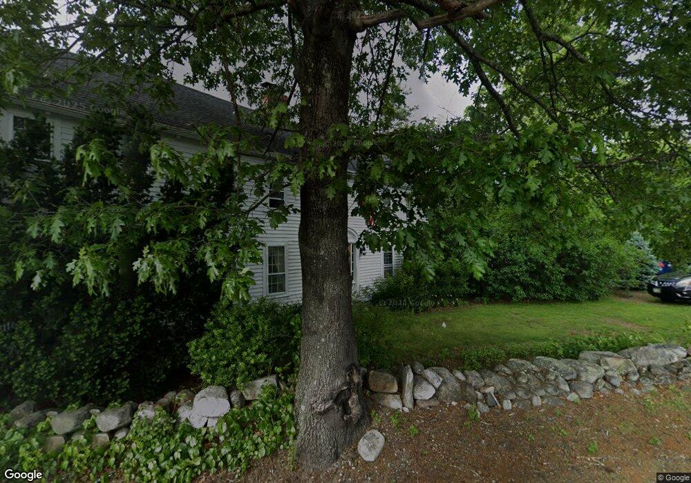
263 Kent Farm Rd Hampstead, NH 03841
Estimated Value: $720,487 - $969,000
3
Beds
3
Baths
3,344
Sq Ft
$237/Sq Ft
Est. Value
About This Home
This home is located at 263 Kent Farm Rd, Hampstead, NH 03841 and is currently estimated at $794,122, approximately $237 per square foot. 263 Kent Farm Rd is a home located in Rockingham County with nearby schools including Hampstead Central School, Hampstead Middle School, and Pinkerton Academy.
Ownership History
Date
Name
Owned For
Owner Type
Purchase Details
Closed on
Mar 31, 1999
Sold by
Klemme William R and Klemme Janet M
Bought by
Hess Peter L and Hess Cheryl L
Current Estimated Value
Home Financials for this Owner
Home Financials are based on the most recent Mortgage that was taken out on this home.
Original Mortgage
$185,600
Interest Rate
6.78%
Create a Home Valuation Report for This Property
The Home Valuation Report is an in-depth analysis detailing your home's value as well as a comparison with similar homes in the area
Home Values in the Area
Average Home Value in this Area
Purchase History
| Date | Buyer | Sale Price | Title Company |
|---|---|---|---|
| Hess Peter L | $232,000 | -- |
Source: Public Records
Mortgage History
| Date | Status | Borrower | Loan Amount |
|---|---|---|---|
| Open | Hess Peter L | $271,600 | |
| Closed | Hess Peter L | $299,132 | |
| Closed | Hess Peter L | $300,162 | |
| Closed | Hess Peter L | $185,600 |
Source: Public Records
Tax History
| Year | Tax Paid | Tax Assessment Tax Assessment Total Assessment is a certain percentage of the fair market value that is determined by local assessors to be the total taxable value of land and additions on the property. | Land | Improvement |
|---|---|---|---|---|
| 2024 | $11,825 | $637,800 | $277,800 | $360,000 |
| 2023 | $11,054 | $434,500 | $212,600 | $221,900 |
| 2022 | $10,289 | $434,500 | $212,600 | $221,900 |
| 2021 | $9,885 | $434,500 | $212,600 | $221,900 |
| 2020 | $9,363 | $434,500 | $212,600 | $221,900 |
| 2016 | $8,163 | $337,300 | $134,300 | $203,000 |
| 2015 | $7,566 | $337,300 | $134,300 | $203,000 |
| 2014 | $7,566 | $337,300 | $134,300 | $203,000 |
| 2006 | $6,077 | $335,400 | $162,000 | $173,400 |
Source: Public Records
Map
Nearby Homes
- 8 Ians Path
- 50 Page Ln
- 1 Cameron Ct Unit 1
- 11 Sunset Ave
- 7 Cameron Ct Unit 7
- 4 Shore Dr
- 5 Cameron Ct Unit 5
- 3 Cameron Ct Unit 3
- 2 Cameron Ct Unit 2
- 118-1 Mills Shore Dr
- 118 Mills Shore Dr
- 271 Pond View Dr
- 18 Madison Dr
- 4 Sheldon Rd
- 0 Snow Ln Unit 14
- 9 Trues Pkwy
- 7 Trues Pkwy
- 11 Amy Ln
- 18 Lorri Rd
- 20 Larson Dr
- 245 Kent Farm Rd
- 193 Wheel Wright Rd
- 255 Kent Farm Rd
- 187 Wheel Wright Rd
- 259 Kent Farm Rd
- 272 Kent Farm Rd
- 49 Kent Farm Rd
- 183 Wheel Wright Rd
- 266 Kent Farm Rd
- 258 Kent Farm Rd
- 199 Wheel Wright Rd
- 190 Wheel Wright Rd
- 177 Wheel Wright Rd
- 250 Kent Farm Rd
- 167 Wheel Wright Rd
- 248 Kent Farm Rd
- 247 Kent Farm Rd
- 196 Wheel Wright Rd
- 186 Wheel Wright Rd
- 317 Kent Farm Rd
Your Personal Tour Guide
Ask me questions while you tour the home.